
Aldona Kowalczykaldona23
Charakterystyka trasy
2013-07-12
Polska, dolnośląskie, Mirków

Długość trasy:
716 kmSuma przewyższeń:
0 mSuma spadków:
0 mOcena trasy:
1.7/6Komentarze
NA TYCH TRASACH PRZYDA CI SIĘ MAPOPRZEWODNIK LUB MAPA Z NASZEJ APLIKACJI

MAPA TURYSTYCZNA W APLIKACJI TRASEO
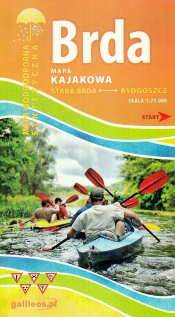
Brda - cz. północna
Mapa Brda przedstawia szlak kajakowy rzeką Brdą, od Nowej Brdy do Tucholskiego PK. Na mapie zaznaczono kilometraż rzeki oraz obiekty istotne dla kajakarza takie jak miejsca niebezpieczne, przeszkody na trasie spływu, pola biwakowe.
Mapa jest zorientowana zgodnie z kierunkiem płynięcia.