category-icon

Wrocław - Sobótka

87 km
4 h 48 min
98 m
109 m
Wrocław
Zdjęcie 1
Zdjęcie 2
Zdjęcie 3
Zdjęcie 4
Zdjęcie 5
Zdjęcie 6

Charakterystyka trasy

2022-08-10
Wrocław
category-icon
Długość trasy:
87 km
Suma przewyższeń:
98 m
Suma spadków:
109 m
Średni czas potrzebny na pokonanie trasy:
4 h 48 min
Ocena trasy:
4.8/6
Trasa z Wrocławia do Sobótki przez Kobierzyce. Pokrywa się częściowo z trasami K1 i K2 plus dojazd z/do Wrocławia trasą T3. Z trzema małymi wyjątkami nawierzchnia jest asfaltowa (zobacz na mapie). Asfalt nie zawsze jest jednak w dobrym stanie, więc czasem wytrzęsie trochę.

Trasa jest płaska i łatwa. Ruch nawet w dni powszednie jest mały. Z wyjątkiem dwóch skrzyżowań z drogą nr 8 (oznaczone na mapie), nie ma większych problemów.

Komentarze

NA TYCH TRASACH PRZYDA CI SIĘ MAPOPRZEWODNIK LUB MAPA Z NASZEJ APLIKACJI
Masyw Ślęży
MAPA TURYSTYCZNA W APLIKACJI TRASEO
Masyw Ślęży

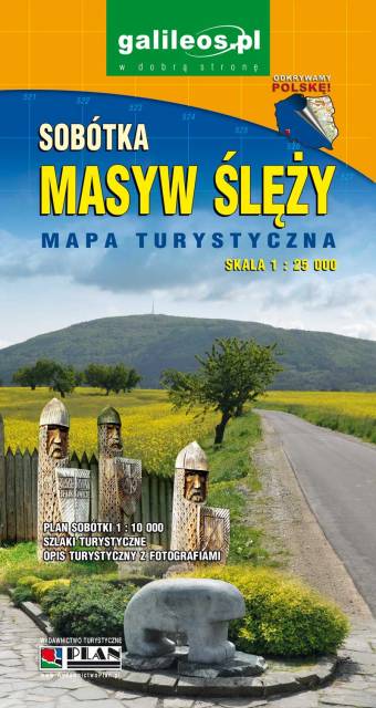
A shaded tourist map of the Masyw Ślęży with a description and photographs. On the map you can find the current hiking and cycling trails along with the time needed to pass it, and the most important attractions. Year of publication 2020

Wrocław and Its Close Vicinity. South-Western Part
MAPA TURYSTYCZNA W APLIKACJI TRASEO
Wrocław and Its Close Vicinity. South-Western Part

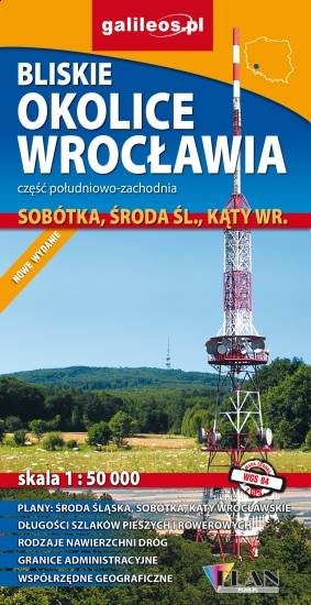
Map in detailed scale range: Wrocław city center to the east, Środa Śląska to the west, Słupice, Kełczyn, Oleszna and Radzików to the south, Ligota Piękna, Gosławice and Brodno to the north. A lot of information useful for tourists is marked on the map: monuments, accomodation facilities, protected areas, cycling and walking trails, as well as street names and the type of road surface.
Foothills of Sudety
MAPA TURYSTYCZNA W APLIKACJI TRASEO
Foothills of Sudety

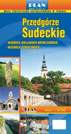
The map covers part of the Lower Silesian Voivodeship in Poland. Lot of information useful for tourists is marked on the map: monuments, accomodation facilities, protected areas, cycling, walking, ski and horse trails, ski lifts.

Euroregion Praděd
MAPA TURYSTYCZNA W APLIKACJI TRASEO
Euroregion Praděd

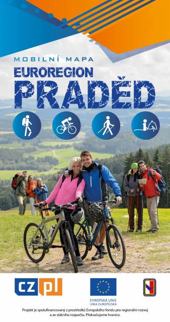
Turistická mapa Euroregionu Praděd zahrnuje území česko-polského příhraničí: na české straně okresy Jeseník a Bruntál, na polské straně Opolské vojvodství. Speciálně zpracovaný kartografický podklad obsahuje nezbytné informace pro aktivní turistiku v přeshraniční oblasti: pěší, jezdecké, cyklistické stezky a další významné objekty infrastruktury cestovního ruchu. 

Mapa byla zpracována v rámci projektu „E-bike moderní turistika" spolufinancovaného z prostředků Evropského fondu pro regionální rozvoj a ze státního rozpočtu. „Překračujeme hranice"
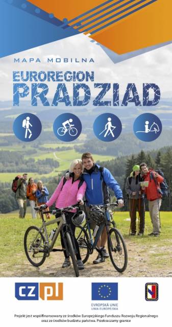
Euroregion Pradziad
MAPA TURYSTYCZNA W APLIKACJI TRASEO
Euroregion Pradziad

The tourist map of the Pradziad Euroregion covers the area of the Polish-Czech border region: the Opolskie voivodeship on the Polish side and the Jeseník and Bruntál regions on the Czech side. A specially developed cartographic base contains necessary information for active tourism in the cross-border region: hiking trails, horse riding trails, cycle routes and others.

The map was produced under the project "E-bike modern tourism" co-financed by the European Regional Development Fund and the state budget. "We cross borders".
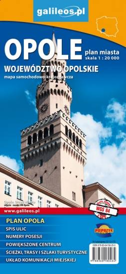
 

Opole and Opole Voivodeship
MAPA TURYSTYCZNA W APLIKACJI TRASEO
Opole and Opole Voivodeship

The map covers the Opole Voivodeship in 1:190 000 scale and Opole city in 1:20 000 scale. On the map there are depicted present courses of roads, borders of counties and municipalities, petrol stations, hotels, parkings and monuments.

Miejscowości na trasie