Charakterystyka trasy

Komentarze
NA TYCH TRASACH PRZYDA CI SIĘ MAPOPRZEWODNIK LUB MAPA Z NASZEJ APLIKACJI
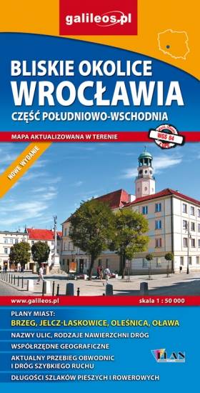
Mapa Wrocławia i okolic na zachodzie sięga po centrum Wrocławia, na wschodzie do Brzegu, południowa granica określona jest przez Wiązów, północna przez Oleśnicę. Jest to obszar ograniczony współrzędnymi 17°04’ - 17°30’ długości geograficznej wschodniej oraz 50°49’-51°14’ szerokości geograficznej północnej. Mapa aktualizowana w terenie, zawiera długości szlaków pieszych i rowerowych, nazwy ulic, rodzaje nawierzchni dróg, zabytki. Tak dokładnej mapy turystycznej tego obszaru jeszcze nie było!
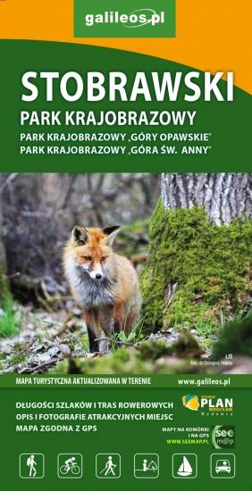
Mapa turystyczna Stobrawskiego Parku Krajobrazowego aktualizowana w terenie z zaznaczonymi szlakami pieszymi i rowerowymi. Obejmuje swym zasięgiem obszar ograniczony od południowego-wschodu Jeziorem Turawskim, od północy sięga po Wołczyn, natomiast od wschodu po Brzeg.
Mapa jest w zasięgu: od Kłodzka do Nysy, na północ do Strzelina i Dzierżoniowa. Opracowanie zawiera informacje niezbędne każdemu turyście m.in. położenie zabytków, bazę noclegową oraz przebieg wszystkich szlaków pieszych, ścieżek dydaktycznych, tras rowerowych oraz modnych ostatnio Singletraków. Dla łatwego czytania podano ich długości. Mapa opisana na siatce WGS 84, zgodna z polskimi systemami nawigacyjnymi.