


Charakterystyka trasy

Komentarze
NA TYCH TRASACH PRZYDA CI SIĘ MAPOPRZEWODNIK LUB MAPA Z NASZEJ APLIKACJI
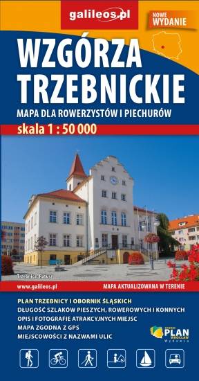
Mapa "Wzgórza Trzebnickie" obejmuje obszar od Wrocławia do Żmigrodu oraz od Brzegu Dolnego do Oleśnicy. Jest to obszar ograniczony współrzędnymi 16°41’ - 17°22’ długości geograficznej wschodniej oraz 51°09’-51°26’ szerokości geograficznej północnej. Na mapie zaznaczono wszystkie informacje potrzebne turyście oraz każdej osobie poruszającej się wg tej mapy. W miejscowościach opisano nazwy ulic . Są tu przebiegi wszystkich szlaków pieszych, rowerowych, kajakowych, konnych, opisano na nich odległości - co pozwoli zaplanować wycieczkę. Miejsca szczególnie warte odwiedzenia zaznaczono żółta ramką. Ukształtowanie terenu pokazano przy pomocy warstwic z cięciem co 5 m.
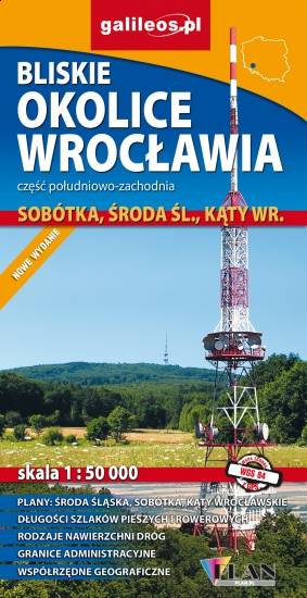
Mapa Wrocławia i okolic na wschodzie sięga po centrum Wrocławia, na zachodzie do Środy Śląskiej, południowa granica określona jest przez wsie Słupice, Kełczyn, Oleszna, Radzików, północna przez Ligotę Piękną, Gosławice i Brodno. Jest to obszar ograniczony współrzędnymi 16°33’ - 17°01’ długości geograficznej wschodniej oraz 50°49’-51°14’ szerokości geograficznej północnej. Mapa obejmuje swym zasięgiem Park Krajobrazowy Doliny Bystrzycy, Ślężański Park Krajobrazowy oraz Zbiornik Mietkowski. Mapa aktualizowana w terenie, zawiera długości szlaków pieszych i rowerowych, nazwy ulic, rodzaje nawierzchni dróg, zabytki. Tak dokładnej mapy turystycznej tego obszaru jeszcze nie było!
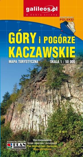
Mapa Gór i Pogórza Kaczawskiego zawiera aktualny przebieg szlaków rowerowych i pieszych z zaznaczonymi najważniejszymi atrakcjami turystycznymi. Swoim zasięgiem obejmuje obszar zamknięty przez Legnicę na północy i Jelenią Górę na południu. Przedstawia także teren Parku Krajobrazowego Doliny Boru oraz Parku Krajobrazowego Chełmy.

Mapa częsci zachodniej Doliny Baryczy obejmuje obszar od Rudy Sułowskiej do ujścia Baryczy do Odry. Jest to obszar ograniczony współrzędnymi 16°16’ - 17°09’ długości geograficznej wschodniej oraz 51°19’-51°42’ szerokości geograficznej północnej. Zaznaczono tu wszystkie szlaki piesze, rowerowe, konne i kajakowe oraz ścieżki przyrodnicze i edukacyjne podając ich długość. Mapa aktualizowana w terenie, zawiera atrakcje przyrodnicze i bazę noclegową oraz ciekawostka - gniazda bocianie.
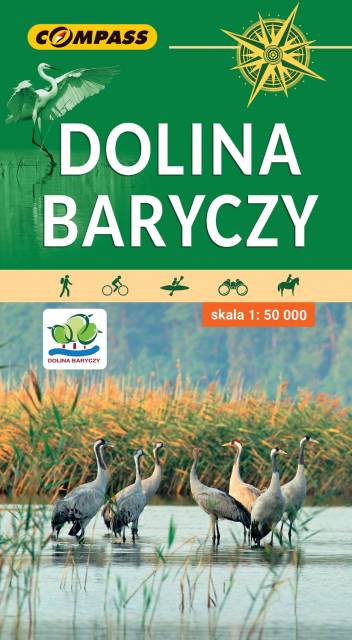
Mapa obejmuje cały obszar Parku Krajobrazowego Doliny Baryczy oraz tereny przyległe. Zasięg mapy wyznaczają: Ostrów Wielkopolski na północy, Twardogóra na południu, Rawicz na zachodzie i Mikstat na wschodzie. Jest to obszar wyjątkowo atrakcyjny przyrodniczo. Znajduje się tu największy w Europie kompleks sztucznych stawów rybnych. Stawy Milickie to również największy w Polsce rezerwat ornitologiczny. Ptasi raj przyciąga rzesze obserwatorów. Uprawianie birdwatchingu umożliwiają liczne wieże i czatownie. Bogate, a przy tym mało znane jest także dziedzictwo kulturowe tego obszaru. Osobliwością są szachulcowe kościoły, domy z rudy darniowej czy zabytkowe jazy. Skala mapy pozwoliła na dokładne naniesienie dróg, ścieżek, szlaków pieszych, rowerowych, kajakowych, dydaktycznych i spacerowych. Mapę offline można zakupić w aplikacji Traseo na urządzenia mobilne. Rok wydania 2022
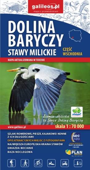
Mapa wschodniej części Doliny Baryczy obejmuje obszar od Radziądza do Antonina. Jest to obszar ograniczony współrzędnymi 16°58’ - 17°55’ długości geograficznej wschodniej oraz 51°15’-51°40’ szerokości geograficznej północnej. Mapa została zaktualizowana w terenie. Na mapie zostały zaznaczone wszystkie szlaki piesze, rowerowe, konne i kajakowe oraz ścieżki przyrodnicze i edukacyjne z podaniem ich długości. Mapa zawiera atrakcje przyrodnicze i bazę noclegową oraz jako ciekawostkę gniazda bocianie.