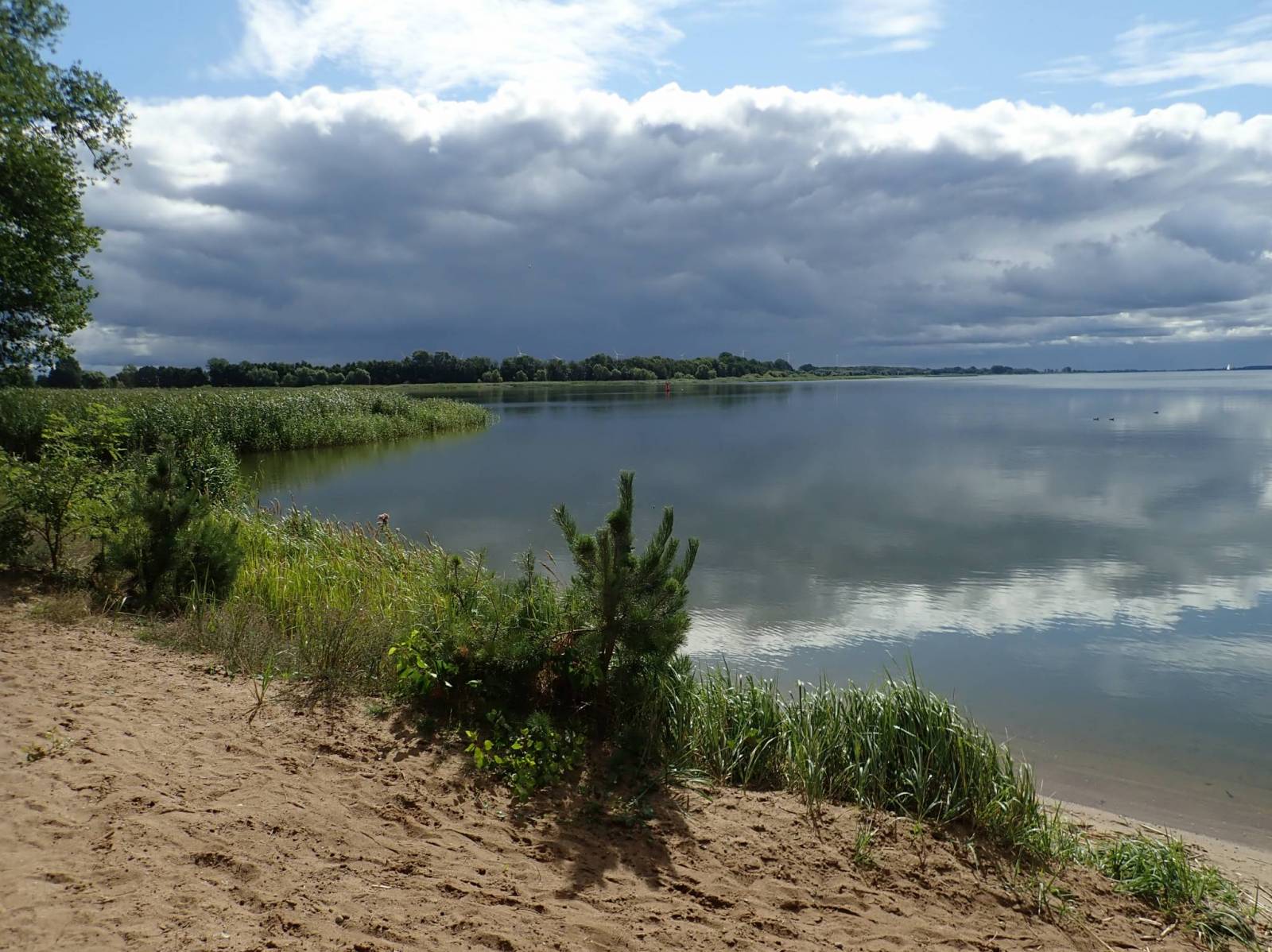
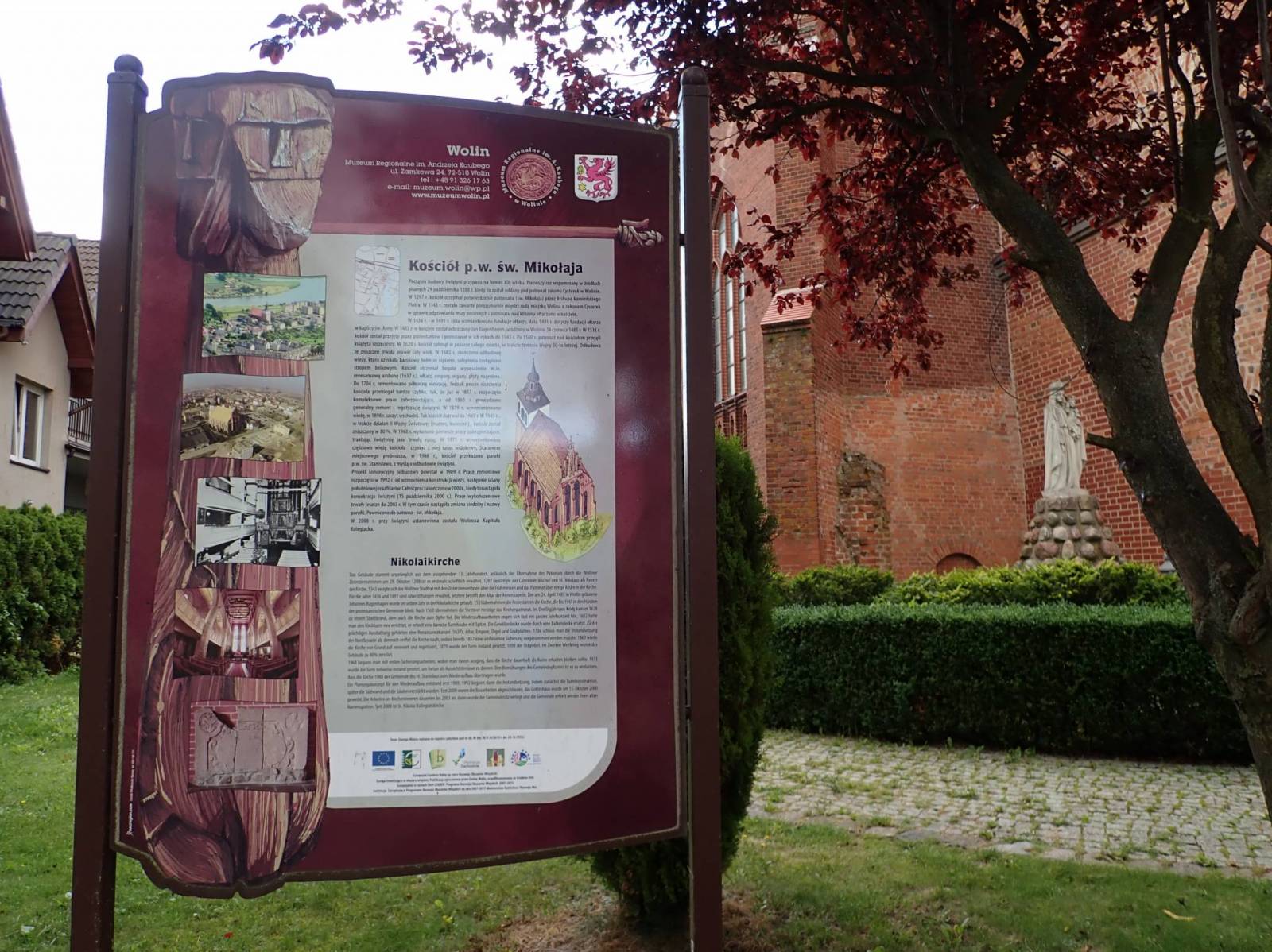
Wycieczka mająca na celu propagowanie turystyki aktywnej regionu w którym została przeprowadzona. Ślad utrwalony w celu wykorzystania przez osoby chętne. Trasy często pokonuję w sposób przeprawowy nie korzystając z utartych dróg (krzaki, pola, rzeczki) na tzw. azymut stąd mogą występować problemy z przebieżnością dla "normalnego" turysty:)
Komentarze
NA TYCH TRASACH PRZYDA CI
SIĘ MAPOPRZEWODNIK LUB MAPA Z NASZEJ APLIKACJI
MAPA TURYSTYCZNA W APLIKACJI TRASEO
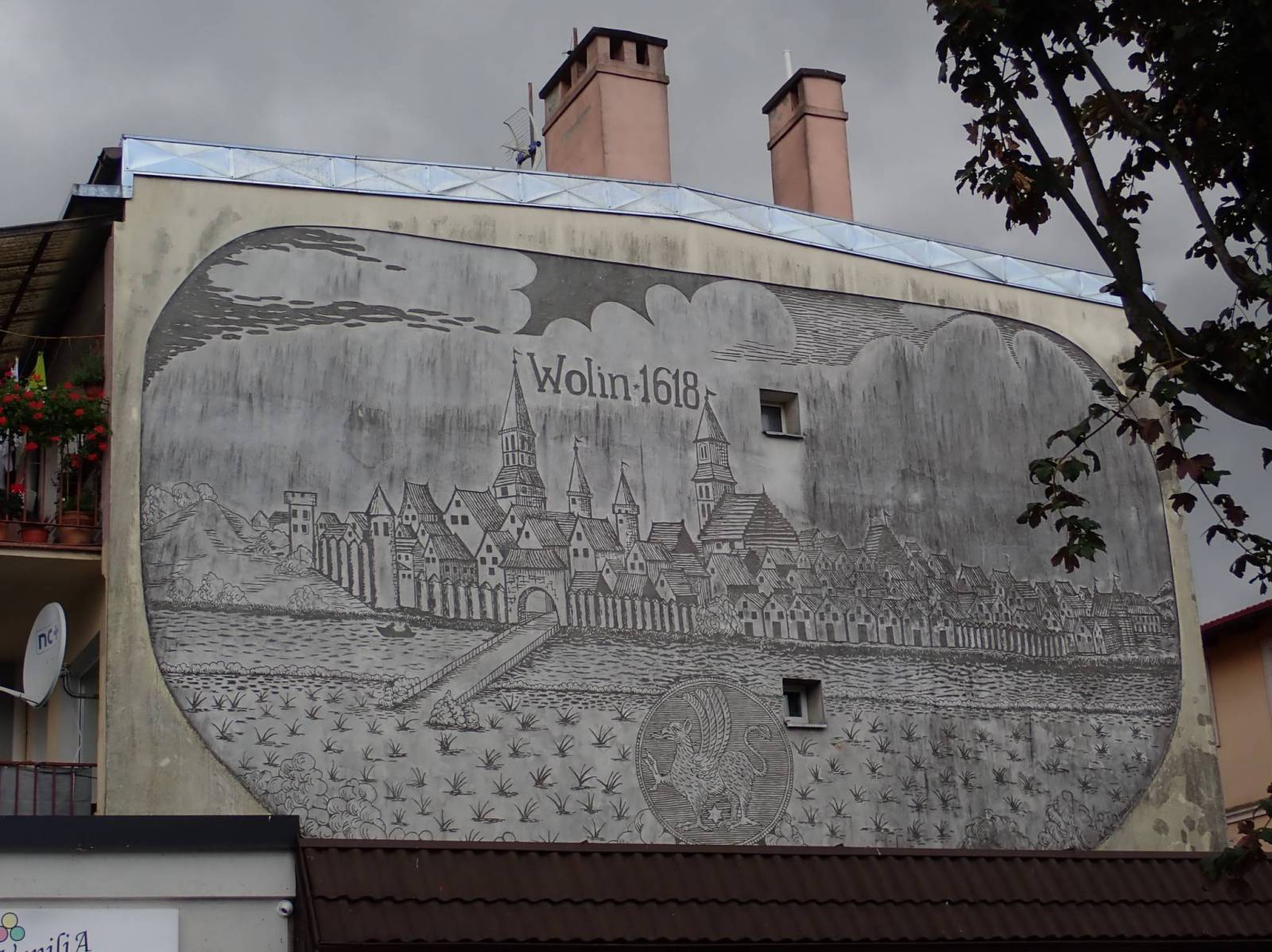
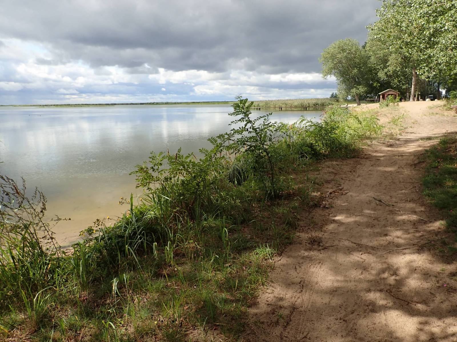
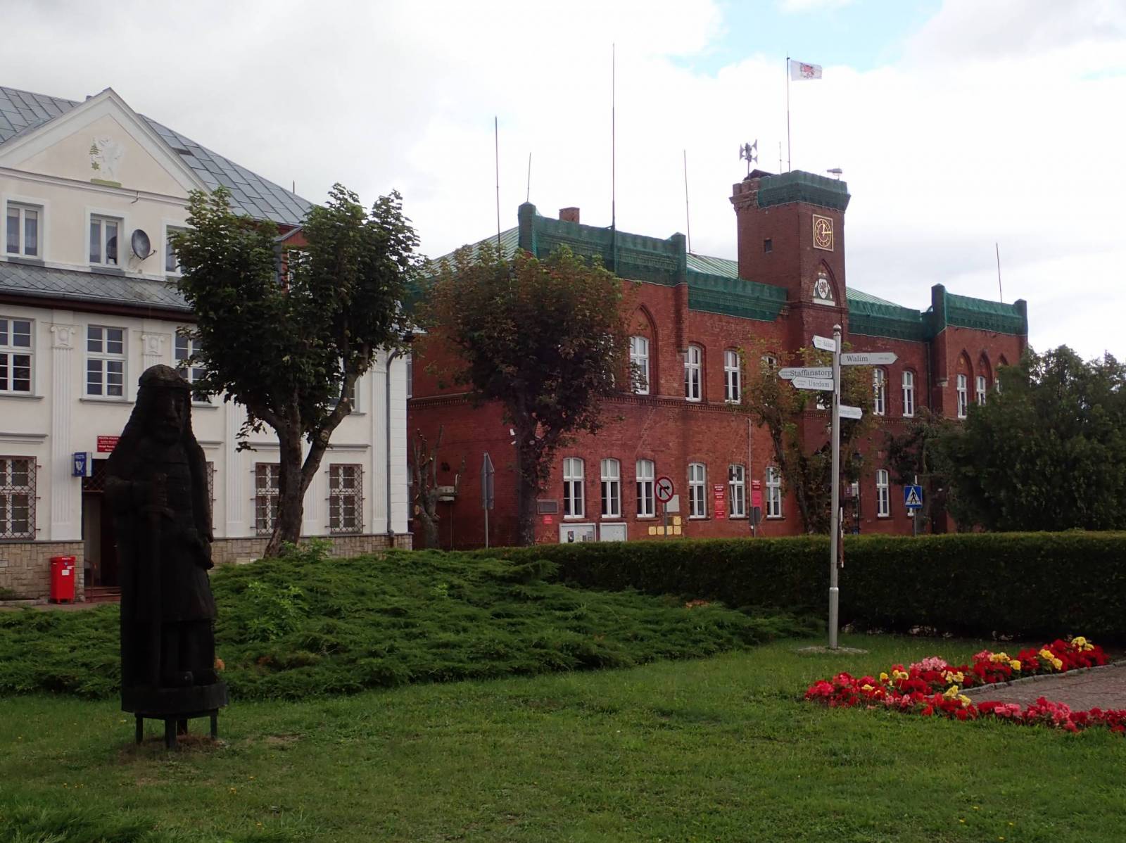
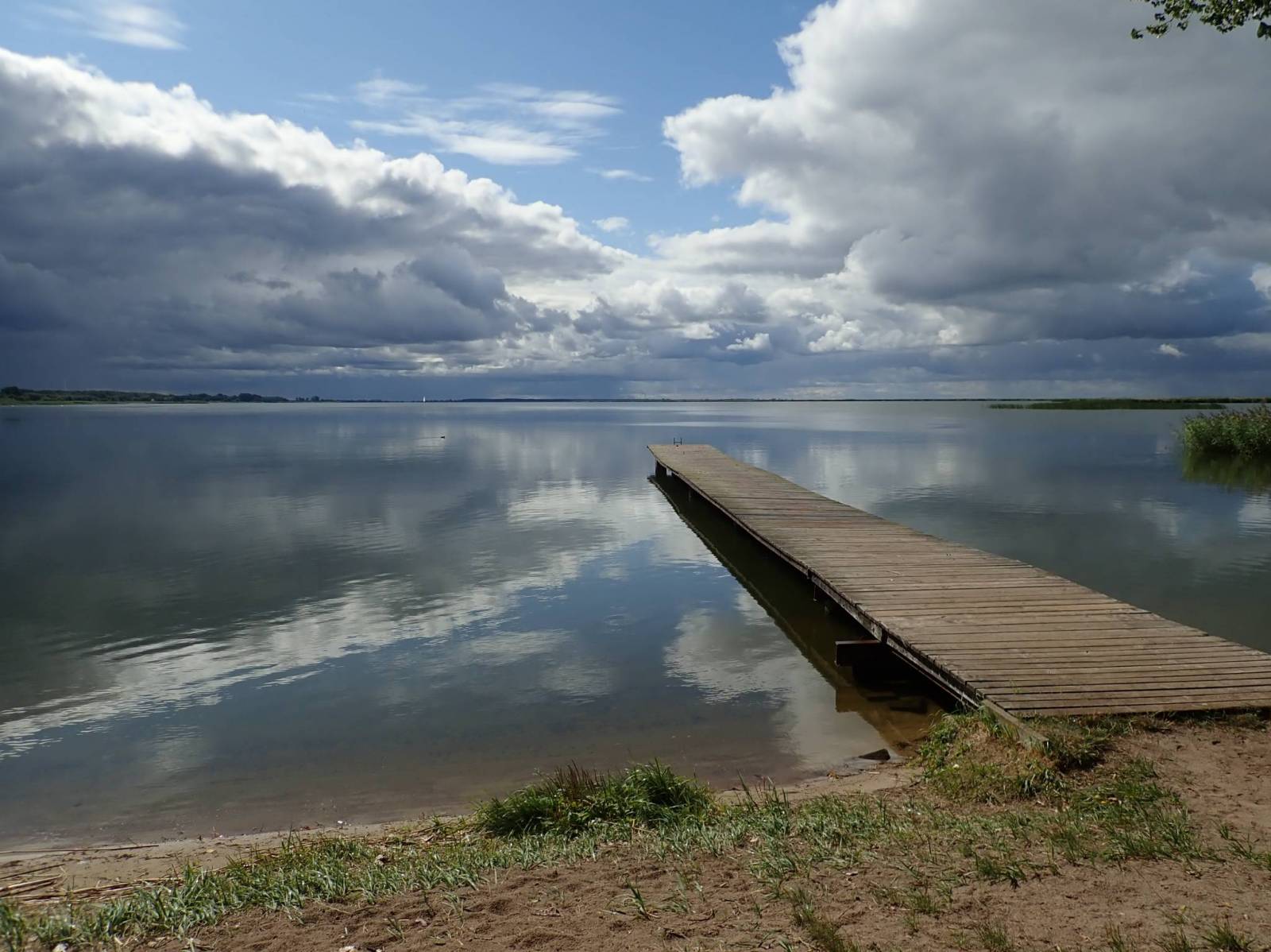
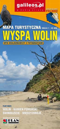
Wyspa Wolin
Mapa Wyspy Wolin zawiera szlaki turystyczne piesze i rowerowe oraz najważniejsze atrakcje turystyczne. Mapy swoim zasięgiem obejmuje fragment wybrzeża w części niemieckiej, od wschodu zamknięta jest przez Dziwnów.