Andrzej Skorupskiaaskor
Charakterystyka trasy
2018-06-19
Radzyń

Długość trasy:
28 kmSuma przewyższeń:
212 mSuma spadków:
218 mŚredni czas potrzebny na pokonanie trasy:
5 h 5 minOcena trasy:
3.9/6Komentarze
NA TYCH TRASACH PRZYDA CI SIĘ MAPOPRZEWODNIK LUB MAPA Z NASZEJ APLIKACJI
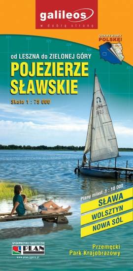
MAPA TURYSTYCZNA W APLIKACJI TRASEO
Sława Lakeland
The Sława Lakeland is situated in western Poland, where borders of three voivodeships meet: the Lubus Voivodeship, the Lower Silesian Voivodeship and the Greater Poland Voivodeship. The map also covers the Przemęt Landscape Park. Lot of information useful for tourists is marked on the map: monuments, accomodation facilities, protected areas, cycling, walking, and canoeing trails.