


Charakterystyka trasy

Komentarze
NA TYCH TRASACH PRZYDA CI SIĘ MAPOPRZEWODNIK LUB MAPA Z NASZEJ APLIKACJI
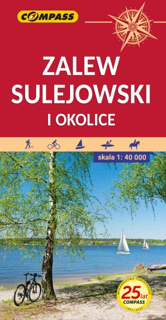
Mapa przedstawia okolice jednego z największych sztucznych zbiorników wodnych w Polsce. Zalew Sulejowski rozciąga się między Sulejowem a Smardzewicami z południowego-zachodu na północny-wschód. Dzięki większemu arkuszowi zasięg tego wydania mapy został znacznie powiększony, i wyznaczają go: Tomaszów Mazowiecki na północy, Piotrków Trybunalski na zachodzie, Sulejów na południu i Sławno na wschodzie. Mapa adresowana jest zarówno dla wodniaków korzystających z walorów Zalewu Sulejowskiego jak miłośników wypraw rowerowych i pieszych wędrówek dla mieszkańców Tomaszowa Maz., Piotrkowa Trybunalskiego i pozostałych okolicznych miejscowości.
Zalew stwarza znakomite warunki do uprawiania sportów i wszelkiej rekreacji wodnej.
Jego atutem jest naturalna i urozmaicona, porośnięta w większości borami sosnowymi linia brzegowa, na której występują liczne plaże. Atrakcyjne środowisko naturalne w połączeniu z dobrym zagospodarowaniem turystycznym gwarantują udany wypoczynek nad wodą.
Na odwrocie mapy znajduje się informator krajoznawczy, wędkarski i żeglarski.
Rok wydania: 2021
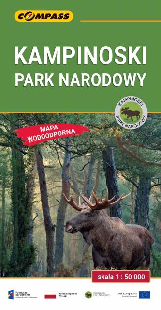
Mapa Kampinoskiego Parku Narodowego obejmuje cały obszar Parku (wraz z enklawami) oraz tereny przyległe. Zasięg mapy od północy ogranicza dolina Wisły, od zachodu Bzura, a od wschodu aglomeracja warszawska. Zasięg mapy wyznaczają: Nowy Dwór Mazowiecki na północy, Sochaczew na zachodzie, Pruszków na południu i Warszawa oraz Legionowo na wschodzie. Wydanie: 2024

Mapa turystyczna "Puszcza Kozienicka" przedstawia kompleks leśny w środkowej Polsce, położony na obszarze Równiny Kozienickiej, na granicy powiatów kozienickiego i radomskiego. Dzisiejsze jej granice wyznaczają: od północnego zachodu rzeka Radomka, od północnego wschodu dolina Wisły, a od południa droga Radom – Puławy.
Pomimo szumnej nazwy, jest to bardzo rozczłonkowany, dość duży kompleks leśny, leżący pomiędzy Radomiem a Wisłą oraz kilka mniejszych obszarów leśnych, znajdujących się w okolicach Pionek i Zwolenia. Największe z nich to uroczyska Miodne i Policzna. Integralnie związana z Puszczą Kozienicką jest lewobrzeżna część doliny Wisły, od wysokości Puław do ujścia Radomki. Na jej obrzeżach znajdują się miasta Kozienice, Pionki i Zwoleń. Najcenniejsze fragmenty Puszczy objęte są ochroną w postaci rezerwatów i Kozienickiego Parku Krajobrazowego.
Puszczę Kozienicką najlepiej zwiedzać na rowerze. Warto przy tym skorzystać z wytyczonych w terenie i zaznaczonych na mapie szlaków rowerowych. Jest to również atrakcyjne miejsce na spacery.
Rok wydania: 2012

Mapa południowych okolic Warszawy w skali 1:50 000, na mapie przedstawiono obszar od śródmieścia Warszawy na północy, po Grójec na południu. Na zachodzie zasięg mapy wyznaczają Ożarów Mazowiecki i Pruszków, na wschodzie - Garwolin. Na mapie znajdziemy szlaki piesze i rowerowe oraz rezerwaty w okolicach Piaseczna, Pruszkowa, Józefowa, Konstancina-Jeziornej, Otwocka, Karczewa, Mińska Mazowieckiego, Góry Kalwarii.
Zawarto tu w całości Chojnowski Park Krajobrazowy i Mazowiecki Park Krajobrazowy. Rok wydania 2024
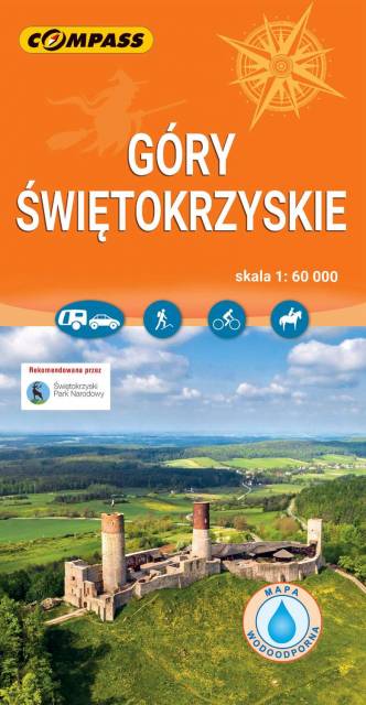
Mapa turystyczna "Góry Świętokrzyskie" przedstawia całość masywu, położonego w centralnej części Wyżyny Kieleckiej. Niezbyt wymagający teren sprawia, że jego ścieżki przemierzać mogą także mniej doświadczeni turyści. Obszar przedstawiony na mapie zamyka się w granicach: Końskie na północy, Raków na południu, Ostrowiec Świętokrzyski na wschodzie, Dobrzeszów na zachodzie. Rok wydania 2023
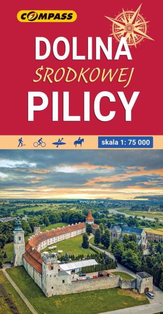
Mapa obejmuje środkowy odcinek rzeki od Szczekocin do Nowego-Miasta nad Pilicą. Pilica to lewy dopływ Wisły o dł. 325 km, płynący z Wyżyny Krakowsko-Częstochowskiej i wpadający do Wisły koło Góry Kalwarii pod Warszawą. Zasięg mapy wyznaczają: Rokiciny-Kolonia na północy, Piotrków-Trybunalski na zachodzie, Szczekociny na południu i Nowe-Miasto, Drzewica, Małogoszcz na wschodzie. Obszar mapy obejmuje Jezioro Sulejowskie, parki krajobrazowe: Sulejowski, Spalski i Przedborski oraz miasta: Piotrków Trybunalski, Tomaszów Mazowiecki, Opoczno, Sulejów, Przedbórz, Włoszczowa, Koniecpol. Pilica idealnie nadaje się do uprawiania turystyki kajakowej. Rzeka na tym odcinku jest płaska, w znacznym stopniu pokryta lasami, malowniczo meandruje tworząc liczne wysepki, łachy i ławice piasku. Koryto Pilicy ma tu szerokość 100-150 m i łączy się z licznymi starorzeczami. W rejonie Przedborza rzeka opływa zachodnie krańce Pasma Przedborsko-Małogoskiego, a głębokość doliny sięga nawet do 50 m. Pod Smardzewicami wody środkowej Pilicy spiętrza zapora ziemna, tworząc Zalew Sulejowski. Dolinie Pilicy towarzyszą lasy, których największe kompleksy występują w okolicach Przedborza (Przedborski Park Krajobrazowy), w widłach Pilicy i Luciąży oraz w okolicach Tomaszowa Mazowieckiego (dawna Puszcza Pilicka). Na mapie zaznaczony został szlak kajakowy Pilicy oraz jej dopływów wraz z punktami odległościowymi. Mapa polecana jest także do uprawiania turystyki pieszej, rowerowej i konnej oraz osobom zmotoryzowanym. Rok wydania: 2022