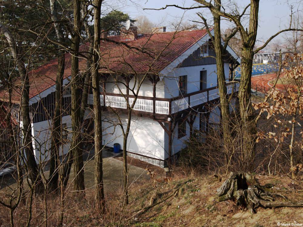
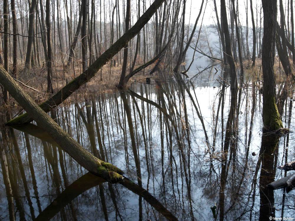
Trasa o średnim stopniu trudności, w przepięknych sceneriach okolic Barlinka, w sąsiedztwie trzech jezior i stawów rybnych, wzdłuż strumieni, koło źródlisk i źródeł. Spotkamy się z zabytkową architekturą wczasową, położoną w scenerii żywo przypominającej krajobrazy górskie i górskie widoki.
Komentarze
NA TYCH TRASACH PRZYDA CI
SIĘ MAPOPRZEWODNIK LUB MAPA Z NASZEJ APLIKACJI
MAPA TURYSTYCZNA W APLIKACJI TRASEO
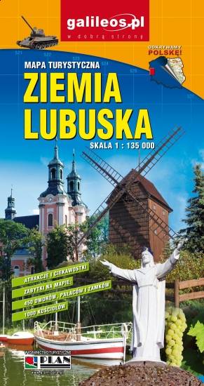
Lubusz Land
The map covers the Lubusz Voivodeship in western Poland. Monuments, cycling and walking trails and other information useful for tourists are marked on the map. Most interesting places are depicted with coloured graphic symbols.