

Charakterystyka trasy

Komentarze
NA TYCH TRASACH PRZYDA CI SIĘ MAPOPRZEWODNIK LUB MAPA Z NASZEJ APLIKACJI
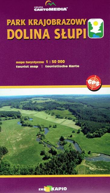
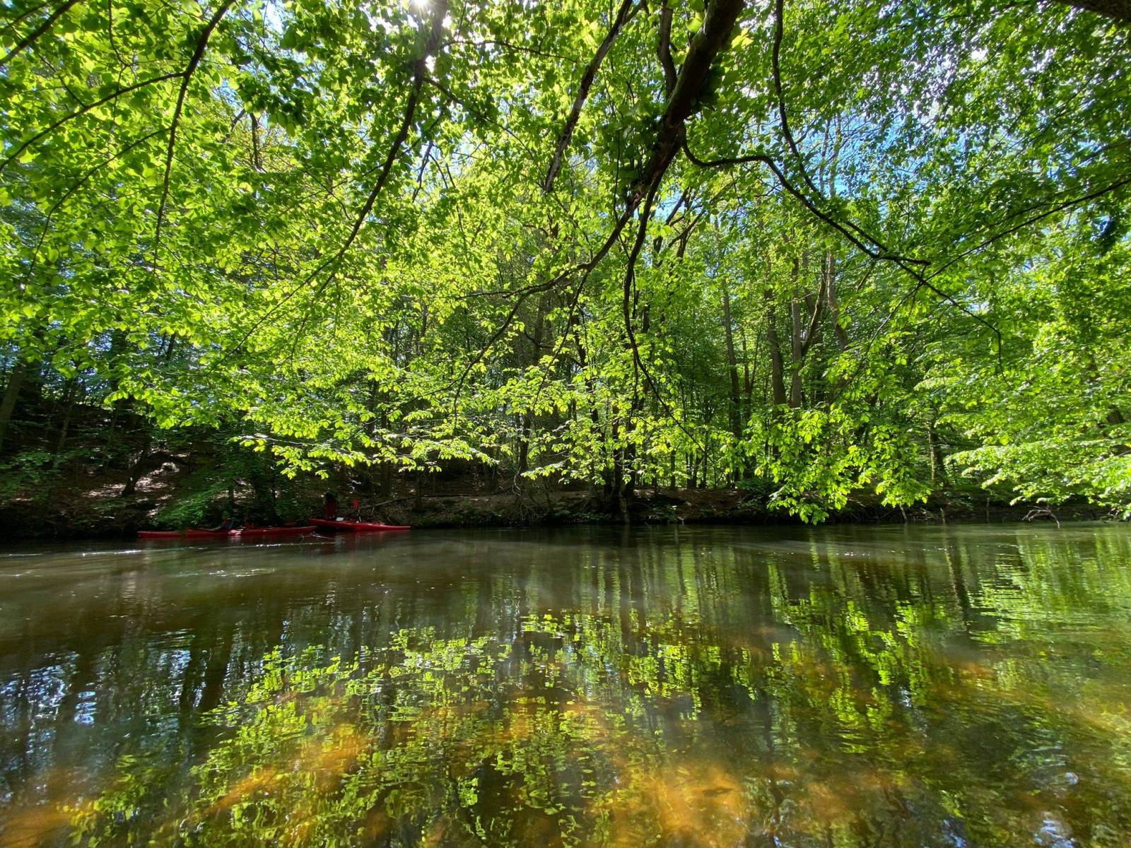
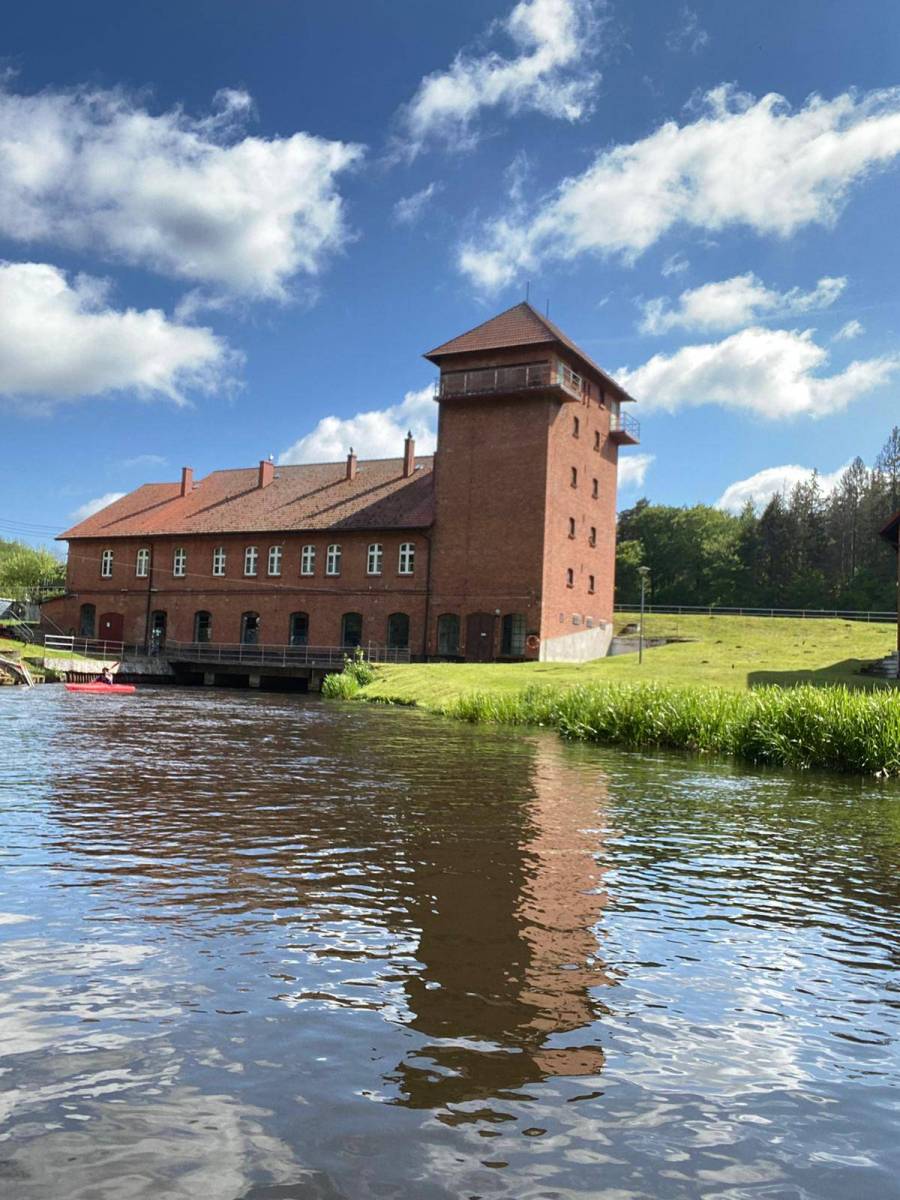
Mapa Doliny Słupi obejmuje znaczny odcinek tej arcyciekawej przyrodniczo i krajobrazowo rzeki z jej największymi atrakcjami. Na mapie turystycznej "Park Krajobrazowy Dolina Słupi" naniesiono liczne szlaki, które ułatwią poruszanie się po tym terenie, z uwzględnieniem największych atrakcji. Mapa ta została opracowana wspólnie z pracownikami Parku, dzięki czemu tanowi źródło rzetelnej informacji.
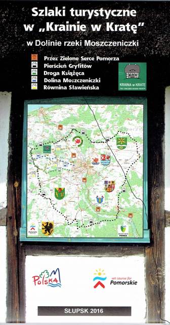
Najnowsza mapa regionu, której głównym elementem jest Pierścień Gryfitów. Mapa jest dostowana zarówno do wędrówek pieszych, jak i rowerowych oraz samochodowych wycieczek. Sam Pierścień Gryfitów, to długa trasa rowerowa, na której przemierzenie należy przeznaczyć co najmniej dwa dni. Dzięki mapie Krainy w Kratę można dobrze rozplanować podróż, uwzględniając okoliczne atrakcje. Przystępna skala 1:50 000 pozwala łatwo nawigować w ternie i zawsze odnaleźć właściwą drogę. Na mapie znajdziemy także Słupsk, który zwany jest Paryżem Północy, który swoim wyglądem przypomina zielony ogród pełen kwiatów.
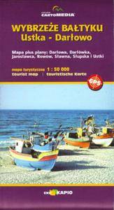
Mapa turystyczna "Wybrzeże Bałtyku. Ustka - Darłowo" prezentuje przede wszystkim liczne szlaki piesze i rowerowe, znaleźć na niej można także szlaki kajakowe. Dla łatwiejszej orientacji w terenie podano także nazwy ulic. Mapa Ustka - Darłowo obejmuje także obszary jeziora Wicko, jeziora Kopań oraz fragment Jeziora Bukowo.
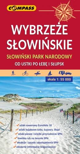
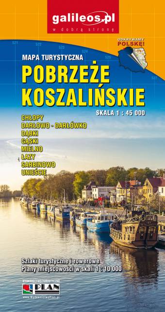
Mapa przedstawia ciekawy, a przy tym niezwykle popularny odcinek polskiego wybrzeża – od Ustki po Łebę. Zasięg mapy na południu wyznaczają: Słupsk i Potęgowo.
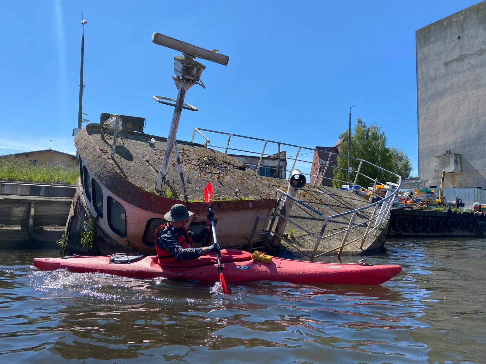
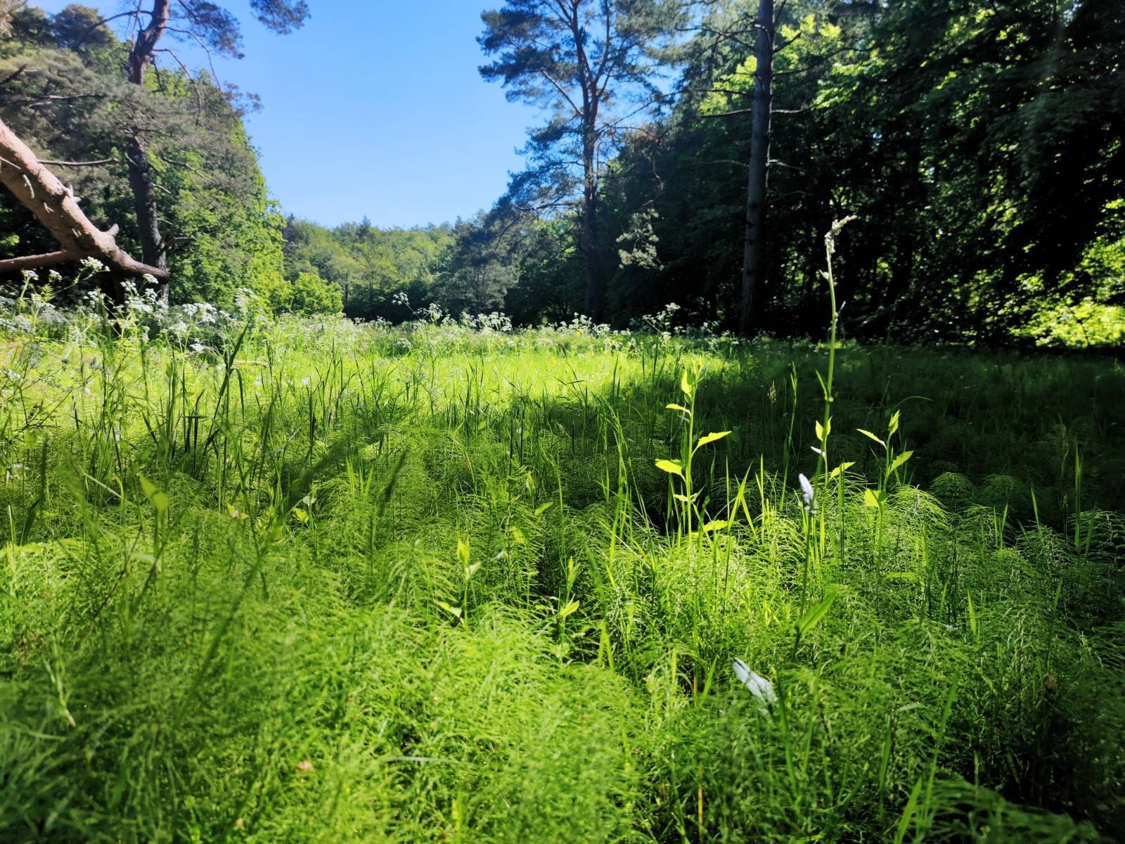
Jest to teren atrakcyjny nie tylko pod względem wypoczynkowym. Piękne plaże, w tym słynne klify w Dębinie, imponujące wydmy Słowińskiego Parku Narodowego, spuścizna po dawnych mieszkańcach prezentowana w skansenach i cała masa innych atrakcji, przyciągają w ten rejon nie tylko tłumy plażowiczów, ale i miłośników aktywnego wypoczynku połączonego ze zwiedzaniem. Bogata sieć szlaków turystycznych zachęca do aktywnego zwiedzania. Region ten upodobali sobie zwłaszcza rowerzyści.
Na mapie przedstawiono: gęstą sieć szlaków turystycznych, porty i przystanie statków białej floty, fortyfikacje nadmorskie, latarnie morskie i pozostałe atrakcje turystyczne. Jest także wybrana baza noclegowa i gastronomiczna. Z praktycznych ciekawostek - dodano numery wejść na plaże.
Przebieg szlaków, jak i pozostała infrastruktura turystyczna zostały gruntownie sprawdzone podczas weryfikacji terenowej. Szczególnej uwadze polecamy międzynarodową trasę rowerową Eurovelo 10 - na mapie zaznaczono jej dotychczasowy, przeznaczony do likwidacji przebieg, jak również ten planowany.
Na rewersie mapy znajduje się informator krajoznawczy z licznymi zdjęciami.
Rok wydania: 2021
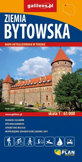
Opracowanie kartograficzne obejmuje obszar Powiatu Bytowskiego. Na mapie zaznaczono informacje przydatne turyście, jak zabytki, noclegi, gastronomie, granice obszarów chronionych. Podano aktualne przebiegi szlaków pieszych, rowerowych i konnych, łącznie z kilometrażem, co pozwoli łatwiej zaplanować wycieczkę. Ukształtowanie terenu pokazano przy pomocy warstwic o cięciu co 10 m.
Rok wydania: 2018