


Charakterystyka trasy

Komentarze
NA TYCH TRASACH PRZYDA CI SIĘ MAPOPRZEWODNIK LUB MAPA Z NASZEJ APLIKACJI
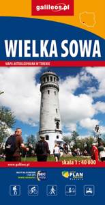
Wielka Sowa to najbadziej popularny i najliczniej odwiedzany szczyt w Górach Sowich, jednocześnie jest to również najwyższy szczyt tego pasma Sudetów - 1015 m. n.p.m. Na szczycie Wielkiej Sowy odbywają się różne imprezy, zloty czy pikniki. Mapa obejmuje teren ograniczony miejscowościami: Walim, Pieszyce, Dzierżoniów, Jugów. Zaznaczono na niej aktualny przebieg szlaków turystycznych pieszych i rowerowych z ich długościami. Na mapie naniesiono ośrodki noclegowe i restauracje. Siatka geograficzna zgodna z GPS oparta na układzie WGS-84.
Mapa została przygotowana tylko dla urządzeń cyfrowych, nie ma odpowiednika w wersji papierowej.
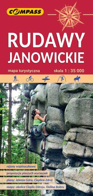
Bardzo dokładna, aktualizowana w terenie mapa turystyczna Rudaw Janowickich z zaznaczonymi szlakami pieszymi i rowerowymi z czasami przejść poszczególnych odcinków. Na mapie zaznaczono skały wspinaczkowe, z których słynie region i najważniejsze atrakcje turystyczne. Rok wydania: 2022
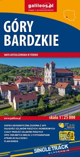
Mapa obejmuje obszar Gór Bardzkich z miastami: Bardo, Kłodzko, Ząbkowice Śląskie oraz Srebrna Góra. Dzięki dokładnej skali 1:25 000 wszystkie szlaki piesze i rowerowe mają podane długości oraz czas przejścia szlaków pieszych. Na mapie znajdują się również informacje praktyczne i turystyczne przydatne turystom: zabytki, noclegi, punkty gastronomiczna, granice obszarów chronionych i rezerwatów. Ciekawe obiekty wyróżniono kolorem żółtym. Mapa przygotowana tylko dla urządzeń cyfrowych – brak dostępnej wersji papierowej.