

hoffmannahoffmanna
Charakterystyka trasy
2010-10-24
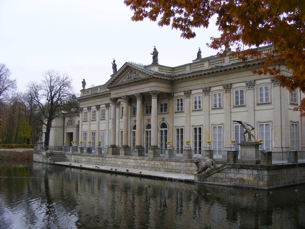
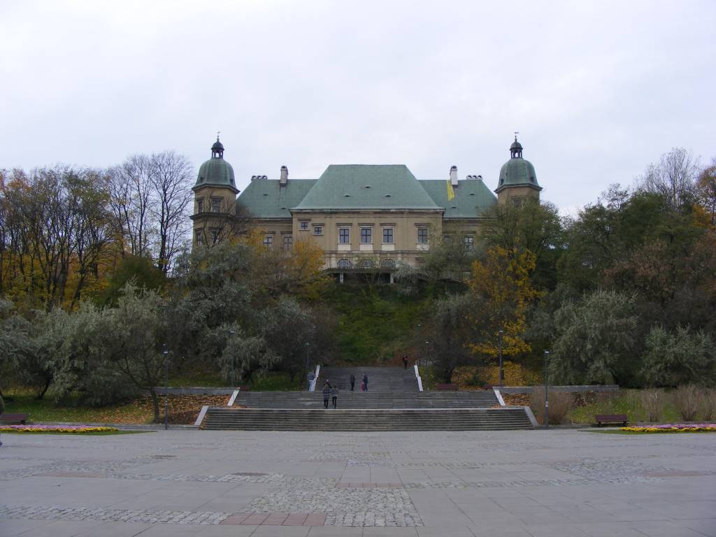
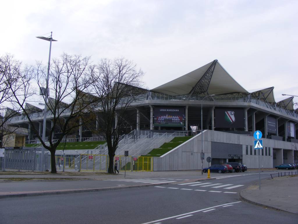
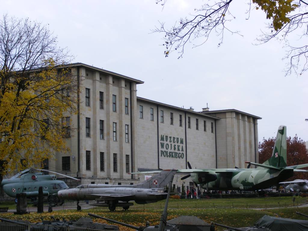
Polska, mazowieckie, Warsaw

Długość trasy:
15 kmSuma przewyższeń:
137 mSuma spadków:
197 mŚredni czas potrzebny na pokonanie trasy:
4 h 27 minOcena trasy:
3.8/6Komentarze
NA TYCH TRASACH PRZYDA CI SIĘ MAPOPRZEWODNIK LUB MAPA Z NASZEJ APLIKACJI
MAPA TURYSTYCZNA W APLIKACJI TRASEO
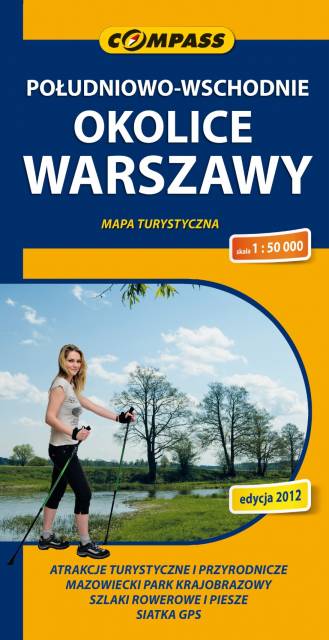
Południowe okolice Warszawy
Mapa południowych okolic Warszawy w skali 1:50 000, na mapie przedstawiono obszar od śródmieścia Warszawy na północy, po Grójec na południu. Na zachodzie zasięg mapy wyznaczają Ożarów Mazowiecki i Pruszków, na wschodzie - Garwolin. Na mapie znajdziemy szlaki piesze i rowerowe oraz rezerwaty w okolicach Piaseczna, Pruszkowa, Józefowa, Konstancina-Jeziornej, Otwocka, Karczewa, Mińska Mazowieckiego, Góry Kalwarii.
Zawarto tu w całości Chojnowski Park Krajobrazowy i Mazowiecki Park Krajobrazowy. Rok wydania 2024