category-icon

Velo Dunajec - official route

232 km
1063 m
1714 m
Polska, małopolskie, Zakopane, powiat tatrzański, Zewnętrzne Karpaty Zachodnie, Karpaty Zachodnie
Photo 1
Photo 2
Photo 3
Oficjalny przebieg
Polecamy

Route characteristics

2025-05-23
Polska, małopolskie, Zakopane, powiat tatrzański, Zewnętrzne Karpaty Zachodnie, Karpaty Zachodnie
category-icon
Trip length:
232 km
Total ascent:
1063 m
Total descent:
1714 m
Route rating:
6/6
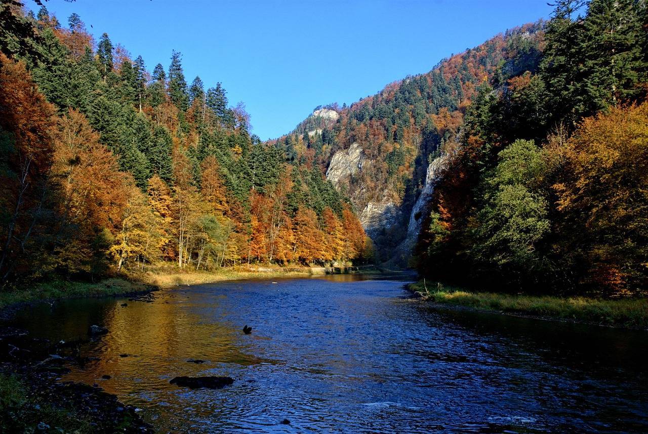
Velo Dunajec is a scenic bicycle trail that attracts many nature and active recreation enthusiasts. Stretching through the southern part of Malopolska, the trail offers not only unforgettable views, but also a variety of tourist attractions. Velo Dunajec is counted among the most beautiful bicycle routes in Poland. Its course was dictated by the course of the Dunajec River, beginning in Zakopane and ending near Tarnów. It is not without reason that this order was given: thanks to this arrangement of the trail, we start the trip at a much higher altitude, gradually “descending” to the lowlands of Malopolska.

Length of Velo Dunajec - map and route


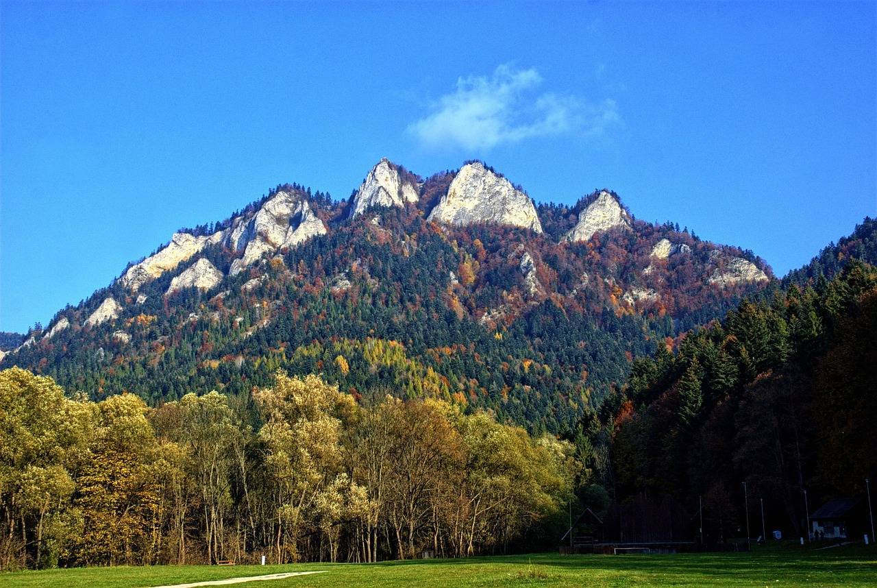
Velo Dunajec is 237 km long, making it one of the longest bicycle routes in Poland. The route begins in Zakopane and ends in the town of Wietrzychowice, north of Tarnów. From there, cyclists have only two kilometers to the scenic mouth of the Dunajec River into the Vistula River, where it is also possible to enter another Malopolska route - the Vistula Cycling Route, routed mainly along the Vistula embankments, from Jawiszowice to Szczucin. The length of Velo Dunajec suggests dividing the route into several sections and organizing a several-or at least two-day trip. The map of Velo Dunajec leads through picturesque areas of Lesser Poland, at the foothills of the Tatra Mountains, the Gorce Mountains, the Pieniny Mountains and the Beskid Sadecki Mountains. The route offers not only stunning views and proximity to nature, but also a wealth of tourist attractions, such as historic castles, picturesque towns and charming lakes. However, it is worth bearing in mind that quite a few sections of the Velo Dunajec trail run on public roads, also used by cars. If you are going on a family trip, with small children, it is necessary to choose appropriate fragments of trails, with a safe course, away from car traffic. The course of the Velo Dunajec is not fully completed, which directly affects the quality and form of the route.

What kind of bike for the Velo Dunajec?


When organizing any bicycle tour, the key issue is to choose a route that is suitable for your fitness preparation. Even the best bike is no substitute for thinking about the most important issues, such as the length of the trail and the elevation gain. Velo Dunajec will be a good choice for those who already have experience with bicycle touring. There are several short but steep climbs along the route, as well as several gravel and dirt sections, ranging from a few hundred meters to as much as 10 km in length. This information immediately suggests what kind of bike for Velo Dunajec will be suitable. Certainly, you can't take a road bike on the route, unless you decide to ride just a section.

Velo Dunajec attractions and points of interest


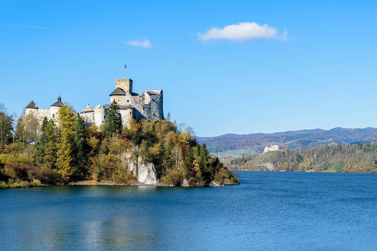
During a Velo Dunajec bicycle trip, it is worth stopping in attractive towns to learn about their rich history and enjoy the charming landscapes. Noteworthy from the start is Zakopane, where it is worth discovering the Baroque church located next to the cemetery on Pęksowym Brzyzku, a number of museums, including the Tatra Museum, or simply stroll along Krupówki Street. Another interesting village, already located at the foot of the Gorce Mountains, is Łopuszna. Here it is worth visiting the Tetmajers' manor house, which now serves as a branch of the Tatra Museum. Czorsztyn Lake, located in the heart of the Pieniny Mountains (around which runs the Velo Czorsztyn route), with castles in Niedzica and Czorsztyn, is also quite an attraction. Here you can take a ferry crossing to further enhance your visit. Further north is another lake, formed by the damming of the Dunajec River - Lake Rożnowskie. In its vicinity is Tropsztyn Castle, which is a reconstruction of a 13th century building.

Fantastic views, spectacular panoramas of the Tatra and Pieniny Mountains, lakes, castles and historic churches - that's how, in a nutshell, you can describe what awaits cycling enthusiasts who set themselves the goal of riding the Velo Dunajec - no matter whether during a single trip or during several single rides on selected fragments.

Comments

ON THESE ROUTES YOU WILL NEED A MAP GUIDE OR A MAP FROM OUR APP

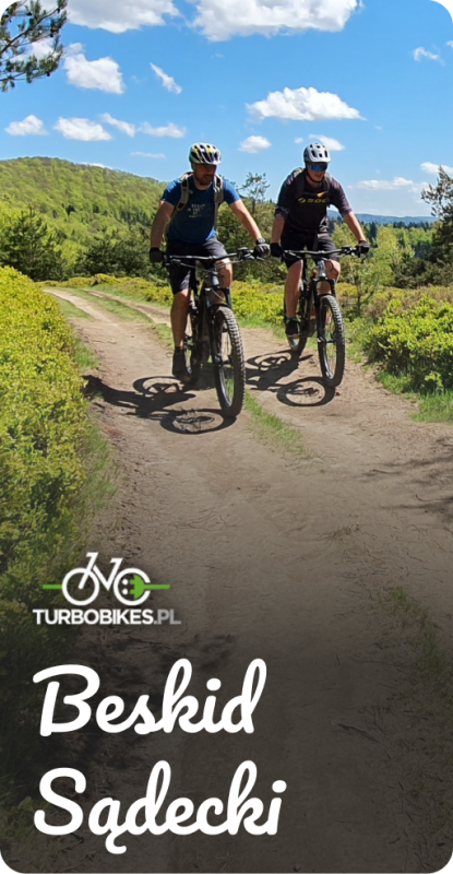
Beskid Sądecki
Beskid Sądecki
Turbobikes. Bike trails and kayaking and rafting trips.
Pobierz bezpłatną mapę tras rowerowych i zaplanuj swoją wyprawę. Zapraszamy również na wycieczki organizowane przez Turbobikes.pl: wyprawy rowerowe w Paśmie Jaworzyny oraz wycieczki łączone – rowerowe i pontonowe lub kajakowe w Dolinie Popradu. Polecamy trasę Velo Poprad, prowadzącą z Krynicy do Starego Sącza – to malowniczy, nadrzeczny szlak, oddalony od głównego ruchu samochodowego, idealny na rodzinne wycieczki oraz spokojną jazdę w gronie znajomych (na jeden lub dwa dni). Zapewniamy transport bagaży, odbiór sprzętu oraz dowóz do punktu startu, hotelu lub pensjonatu. Organizujemy także spływy kajakowe i pontonowe z Muszyny, również w połączeniu z wycieczką rowerową wzdłuż Popradu. Tel. 18 471 27 85, 507 032 958, www.kajakowaniepopradem.pl
Trasy górskieTrasy rodzinneTrasy długodystansowe +1

9
80
MapGuide
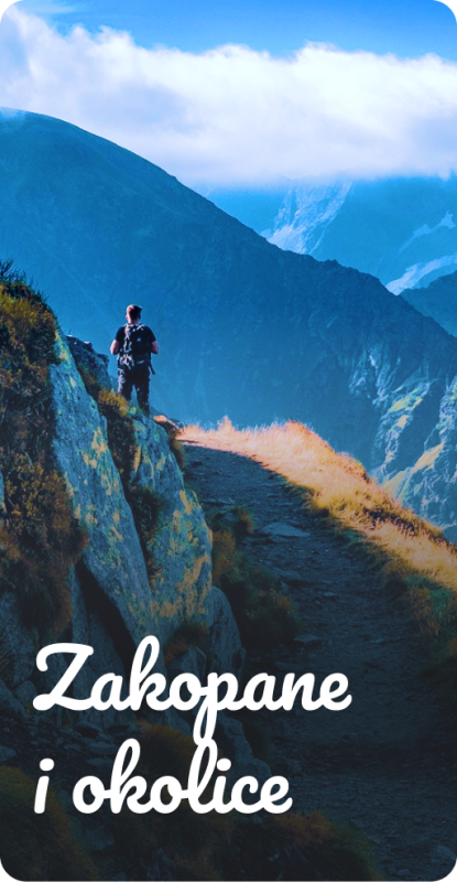
Zakopane and Surroundings
Trips in the Tatra Mountains and Podhale
The offline map “Zakopane and Surroundings” is a practical guide for tourists and active travelers who want to explore the most beautiful parts of Podhale and the Tatra Mountains. It covers diverse areas around Zakopane – from Tatra valleys and foothill trails, through scenic ridges, to charming Podhale villages – offering a rich network of cycling routes (including numerous loop trails) as well as hiking paths. The map also highlights the most interesting places in the region – from popular valleys and viewpoints to natural and tourist attractions – making it easy to plan trips and discover the charm of Podhale without the need for internet access.
HikingBike trails

50
244
MapGuide
Near Krakow
Near Krakow
Local Tourism Organization of the Kraków County “Near Krakow”
The offline map “Pod Krakowem” (“Near Krakow”) is a practical guide for tourists and active travelers who want to explore the most interesting corners around Krakow. It covers diverse regions, such as the Prądnik Valley, the surroundings of Ojcowski National Park, Podgórze Wielickie, areas along the Vistula River, and the Krzeszowice region, offering a rich network of hiking and cycling routes. The map also highlights numerous recommended places – from tourist attractions and historical sites to wine tourism spots and family-friendly destinations. It is a convenient tool for planning trips and discovering the charms of the region without the need for internet access.
RowerowePiesze

35
177
MapGuide
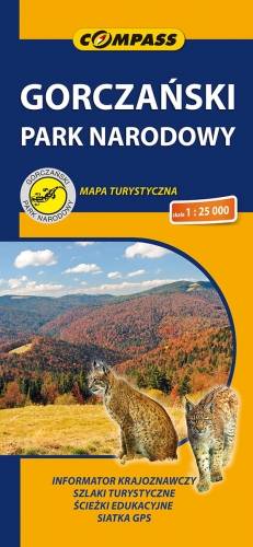
Gorczański Park Narodowy
TOURIST MAP IN THE TRASEO APP
Gorczański Park Narodowy

Mapa szczegółowo przedstawia obszar całego Gorczańskiego Parku Narodowego wraz z enklawami. Na mapie, poza typową treścią turystyczną, zaznaczono: zasięgi lasów i borów górnoreglowych i dolnoreglowych, starodrzewia świerkowe, jodłowe i bukowe, polany szczególnie atrakcyjne przyrodniczo, osobliwości przyrodnicze, szałasy (zwykłe, zabytkowe, będące własnością GPN, inne), a także wiele innych interesujących elementów. Na mapie zastosowano cieniowanie w celu uzyskania wrażenia plastyczności rzeźby terenu. Całość uzupełniają: informator teleadresowy oraz fotografie. Mapa powstała przy współpracy z Gorczańskim Parkiem Narodowym. Mapę offline można zakupić w aplikacji Traseo na urządzenia mobilne. Rok wydania 2020

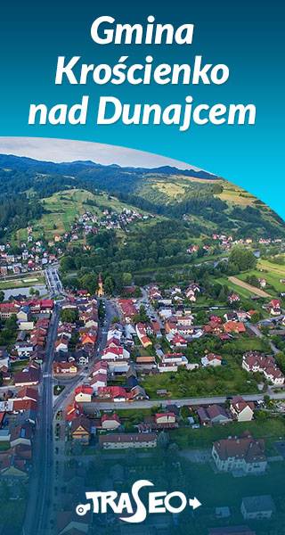
Gmina Krościenko nad Dunajcem
TOURIST MAP IN THE TRASEO APP
Gmina Krościenko nad Dunajcem

Mapa gminy Krościenko nad Dunajcem obejmuje obszar trzech pasm górskich Pienin, Gorców i Pasma Radziejowej Beskidu Sądeckiego. Na mapie znalazły się obszary Pienińskiego Parku Narodowego, Gorczańskiego Parku Narodowego oraz Popradzkiego Parku Krajobrazowego, zostały tu zaznaczone szlaki turystyczne wraz z podanym czasem przejścia i kilometrażem, wędrówkę ułatwiają także poziomice. Z myślą o turystach naniesiono także lokalizacje zabytków oraz atrakcji turystycznych. Mapa zawiera ścieżki historyczne po Krościenku nad Dunajcem, jak również trasy do 11 grzybków, które są usytuowane w charakterystycznych punktach krajobrazowych gminy.

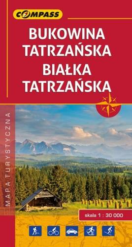
Bukowina Tatrzańska, Białka Tatrzańska
TOURIST MAP IN THE TRASEO APP
Bukowina Tatrzańska, Białka Tatrzańska

Obszar mapy obejmuje ziemie leżące na styku dwóch krain oddzielonych rzeką Białką, wypływającą z samego serca Tatr. Na jej lewym brzegu znajduje się Podhale, na prawym – Spisz. Granicę mapy wyznaczają: Szaflary na północy, Biały Dunajec na zachodzie, Tatrzański Park Narodowy na południu i Łapsze Wyżne na wschodzie. Okolice Bukowiny Tatrzańskiej to popularny rejon narciarstwa zjazdowego i basenów termalnych. Znajduje się tu 9 kolei krzesełkowych i 45 wyciągów narciarskich, przy których działają liczne wypożyczalnie sprzętu, serwisy i szkółki narciarskie. 
Obszar ten znany jest także z licznych tras wspinaczkowych, szlaków turystycznych, gościnnych kwater, doskonałej kuchni regionalnej, żywego folkloru i tradycyjnego rzemiosła. Mapę offline można zakupić w aplikacji Traseo na urządzenia mobilne. Rok wydania 2017