category-icon

Trojanovice - Radegast

198 km
11 h 14 min
1703 m
1677 m
Zdjęcie 1
Zdjęcie 2
Zdjęcie 3
Zdjęcie 4
Zdjęcie 5
Zdjęcie 6

Charakterystyka trasy

2017-01-29
category-icon
Długość trasy:
198 km
Suma przewyższeń:
1703 m
Suma spadków:
1677 m
Średni czas potrzebny na pokonanie trasy:
11 h 14 min
Ocena trasy:
5.3/6
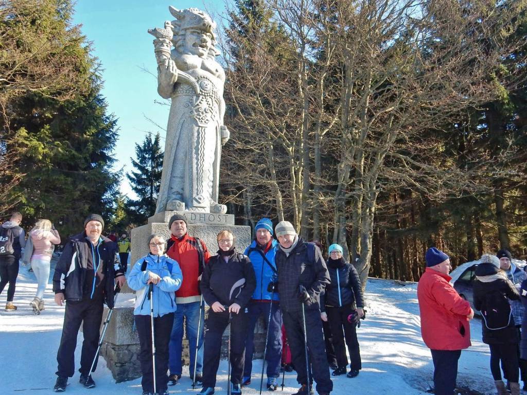
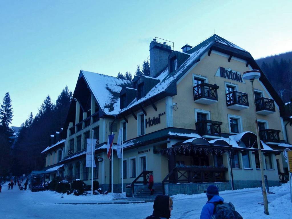
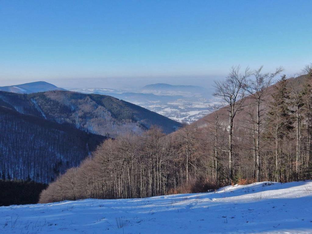
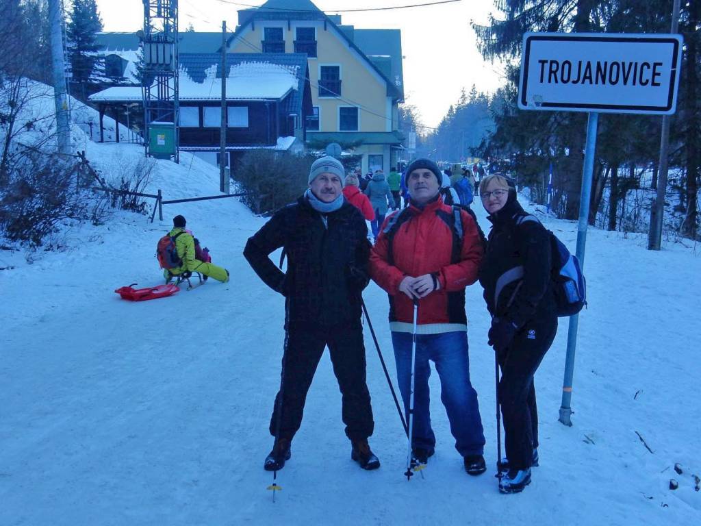
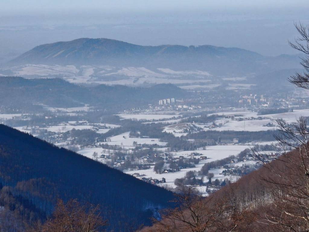
Wycieczka autokarowa-trekkingowa do Czech, a konkretnie to Moravskoslezské Beskydy Radegast, Trojanovice Ráztoka. Organizowany przez Koło Miejskie PTTK w Wodzisławiu Śl. Wyjechaliśmy samochodem z Rybnika do Wodzisławia na miejsce skąd zabrał nas autokar do Trojanovic. Na miejsce dojechaliśmy o godz. 09.30. Po wyjściu z autokaru ruszyliśmy od razu zielonym szlakiem na górę Radegast, odwiedziliśmy Kaplicę odpustową Cyryla i Metodego na wysokości 1129m, schronisko, obok wyciągu narciarskiego i pomnika słowiańskiego bóstwa Radegast do przełęczy Pustevny. Napotkaliśmy tłumy ludzi, drewniane, stylizowane na ludowo stragany, restauracje. Jest tam hotel Maměnka a drugi Libušin w odbudowie po pożarze. Jest to piękne i urokliwe miejsce warte zwiedzania o każdej porze roku. Droga powrotna szlakiem niebieskim. Cała piesza trasa wg GPS to ok 19 km z tym, że były powtórzenia w niektórych miejscach i stąd taki wynik. W tym miejscu chcę podziękować organizatorom wycieczki, panu kierowcy jak i pani Joli za przewóz własnym samochodem z Rybnika do Wodzisławia Śl i z powrotem. Więcej:https://janham.cba.plindex.php?option=com_content&view=article&id=76&Itemid=193

Komentarze

NA TYCH TRASACH PRZYDA CI SIĘ MAPOPRZEWODNIK LUB MAPA Z NASZEJ APLIKACJI
Ostrava Region
MAPA TURYSTYCZNA W APLIKACJI TRASEO
Ostrava Region

The map presents part of north-eastern Czech Republic, near the border with Poland. The capital city of the region -Ostrava - straddles the border of the two historic provinces of Moravia and Silesia.

Published: 2016/2017

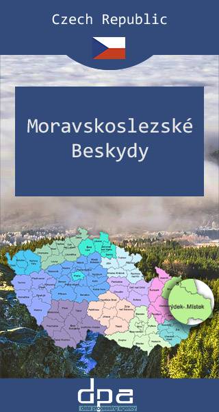
Moravian-Silesian Beskids
MAPA TURYSTYCZNA W APLIKACJI TRASEO
Moravian-Silesian Beskids

The maps presents a mountain range is a mountain range in the Czech Republic with a small part reaching to Slovakia. It lies on the historical division between Moravia and Silesia. The highest point is Lysá hora mountain at 1,323 m.

Published: 2016/2017

Kysucké Beskydy Mountains
MAPA TURYSTYCZNA W APLIKACJI TRASEO
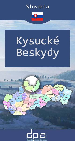
Kysucké Beskydy Mountains

The map presents the region of north-western Slovakia, near Czech and Polish borders. The Kysucké Beskydy is a set of mountain ranges in the Kysuce region. Slovaks consider the mountains to belong to the Central Beskids, of the Outer Western Carpathians. The highest peak of these ranges is Veľká Rača, at 1236 meters. Most of the area is heavily forested, with some endangered species, and a large part of these ranges fall within the Kysuce Protected Landscape Area.

Published: 2016/2017

Beskid Mountains and Maple Mountains
MAPA TURYSTYCZNA W APLIKACJI TRASEO
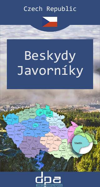
Beskid Mountains and Maple Mountains

The map presents part of the Moravian-Silesian Beskids east from Valašské Meziříčí town and western part of the Maple Mountains, which is a mountain range of the Slovak-Moravian Carpathians. The region forms part of the border between the Czech Republic and Slovakia.

Moravian Gate and Oderské vrchy
MAPA TURYSTYCZNA W APLIKACJI TRASEO
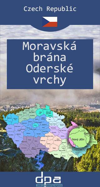
Moravian Gate and Oderské vrchy

The Moravian Gate is a geomorphological feature in the Moravian region of the Czech Republic. It is formed by the depression between the Carpathian Mountains in the east and the Sudetes in the west. Because of its low altitude, the Moravian Gate has since ancient times been a natural pass between the Sudetes (Oderské vrchy range, the highest peak is Fidlův kopec, 680 metres) in the northwest and the Western Carpathians (Moravian-Silesian Beskids) in the southeast. Here ran the most important trade routes, such as the Amber Road from the Baltic to the Adriatic coast, as well as roads from the Czech lands to Upper Silesia and Lesser Poland. Today the D1 highway leads from the Moravian capital Brno to Ostrava, the centre of the Moravian-Silesian Region. Further to the north the road reaches the border with Poland near the town of Racibórz and Wodzisław Śląski. The Austrian Northern Railway built in 1847 from Vienna to Bohumín also traverses the Moravian Gate.

Published: 2016/2017

Racibórz County
MAPA TURYSTYCZNA W APLIKACJI TRASEO
Racibórz County

The map presents the Racibórz County in the Upper Silesia region, Poland. It is comprised of five municipalities: Racibórz, Kornowac, Nędza, Kuźnia Raciborska, Rudnik, Pietrowice Wielkie, Krzanowice, Krzyżanowice. The most interesting places are highlighted with a yellow frame. Cycling, walking and didactic trails are marked on the map.

Miejscowości na trasie