category-icon

Trening z Krzyśkiem Bodurką

12 km
339 m
339 m
Polska, małopolskie, Kobylany, Park Krajobrazowy Dolinki Krakowskie
no photo

Route characteristics

2022-11-02
Polska, małopolskie, Kobylany, Park Krajobrazowy Dolinki Krakowskie
category-icon
Trip length:
12 km
Total ascent:
339 m
Total descent:
339 m
Route rating:
1.0/6

Comments

ON THESE ROUTES YOU WILL NEED A MAP GUIDE OR A MAP FROM OUR APP

Near Krakow
Near Krakow
Local Tourism Organization of the Kraków County “Near Krakow”
The offline map “Pod Krakowem” (“Near Krakow”) is a practical guide for tourists and active travelers who want to explore the most interesting corners around Krakow. It covers diverse regions, such as the Prądnik Valley, the surroundings of Ojcowski National Park, Podgórze Wielickie, areas along the Vistula River, and the Krzeszowice region, offering a rich network of hiking and cycling routes. The map also highlights numerous recommended places – from tourist attractions and historical sites to wine tourism spots and family-friendly destinations. It is a convenient tool for planning trips and discovering the charms of the region without the need for internet access.
RowerowePiesze

35
177
MapGuide
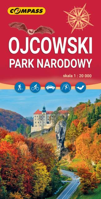
Ojców National Park
TOURIST MAP IN THE TRASEO APP
Ojców National Park

Ojców National Park is a national park in Kraków County, Lesser Poland Voivodeship in southern Poland, established in 1956. It is Poland's smallest national park. The park is approximately 16 kilometers (10 mi) north of Kraków, in the Jurassic Kraków-Częstochowa Upland. Karst topography of soluble bedrock characterizes the park, which in addition to two river (the Prądnik and Saspówka) valleys contains numerous limestone cliffs, ravines, and over 400 caves. The largest of these, Łokietek's Cave (said to have sheltered King Władysław I Łokietek, for whom it was named), is 320 meters (1,050 ft) deep. The area is also noted for its rock formations, the most famous being Hercules' Club, a 25-meter (82 ft)-high limestone column. The park contains numerous castles, including a ruined Gothic castle at Ojców and a better-preserved Renaissance castle at Pieskowa Skała, both of which were part of a late-medieval system of defenses in southwestern Poland, known as the Trail of the Eagles' Nests constructed by the order of King of Poland, Kazimierz the Great. There are two museums in the park, the Professor Władyslaw Szafer Museum (named for the first person to advocate the creation of a national park in the Ojców area), and a branch of the Kraków-based National Art Collection, located in the Pieskowa Skała castle.

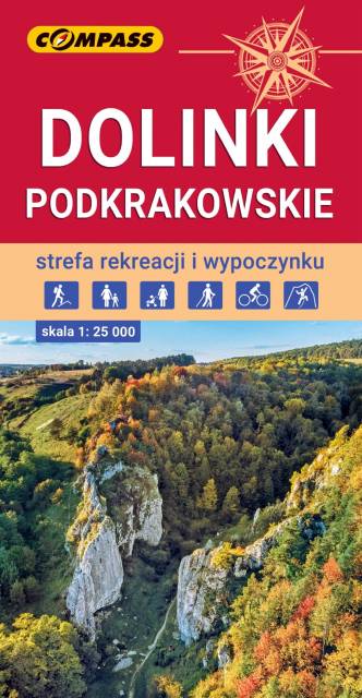
Kraków Valleys
TOURIST MAP IN THE TRASEO APP
Kraków Valleys

The map presents the most interesting area of the north part of Kraków neighborhood. It depicts, among others, Kraków Valleys Landscape Park, Tenczynek Landscape Park and south part of Ojców National Park. The region is very popular among cyclists, hikers, and rocky climbers. The map range: Sułoszowa to the north, Rudno to the west, Mników to the south and Kraków to the east.

Update: 2017

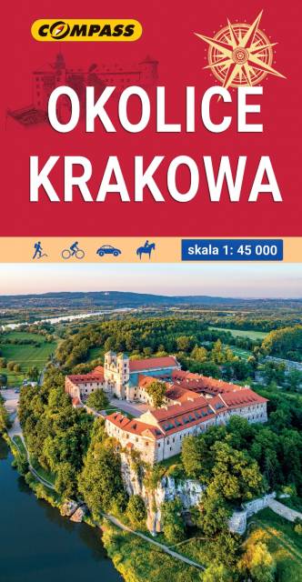
Krakow region
TOURIST MAP IN THE TRASEO APP
Krakow region

The map in detailed scale depicts the most interesting recreational terrains near Krakow, including Krakow Valleys Landscape Park, Ojców National Park, Niepołomice Forest, Wieliczka Foothills, Wadowice, Myślenice. Map range: Myślenice to the south, Sułoszowa to the north, Wadowice to the west, Bochnia to the east.

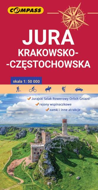
Polish Jurassic Highland
TOURIST MAP IN THE TRASEO APP
Polish Jurassic Highland

The Kraków-Częstochowa Upland (Polish Jurassic Highland) extends in south-central Poland, between the cities of Kraków, Częstochowa and Wieluń. It is a hilly landscape with Jurassic limestone rocks, cliffs, valleys and nearly 220 caves. One of the most attractive recreational terrain in Poland, Ojców National Park, belongs to the region.