


sewerynleszczynski061sewerynleszczynski061
Charakterystyka trasy
2024-05-05
Polska, świętokrzyskie, Pawłów

Długość trasy:
48 kmSuma przewyższeń:
377 mSuma spadków:
394 mŚredni czas potrzebny na pokonanie trasy:
1 h 42 minOcena trasy:
1.0/6Komentarze
NA TYCH TRASACH PRZYDA CI SIĘ MAPOPRZEWODNIK LUB MAPA Z NASZEJ APLIKACJI
MAPA TURYSTYCZNA W APLIKACJI TRASEO
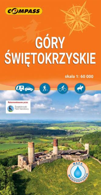
Świętokrzyskie Mountains
The map depicts the oldest mountain range in Poland - The Świętokrzyskie Mountains (Góry Świętokrzyskie) - situated in central Poland, near the city of Kielce. Together with the Jura Krakowsko-Częstochowska, the mountains form a region called the Lesser-Poland Upland. The central part of the mountains now contains the Świętokrzyski National Park.
Update: 2017