


Charakterystyka trasy

Komentarze
NA TYCH TRASACH PRZYDA CI SIĘ MAPOPRZEWODNIK LUB MAPA Z NASZEJ APLIKACJI
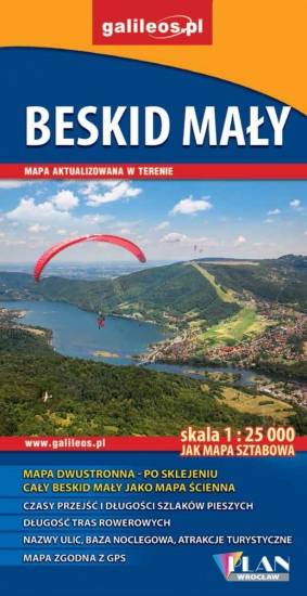
Mapa prezentuje obszar najmniejszego, ale jakże urokliwego polskiego Beskidu. Zasięg mapy obejmuje tereny pomiędzy Bielskiem-Białą na zachodzie i Suchą Beskidzką na wschodzie oraz Wadowicami od północy i Żywcem na południu.
Obszar Beskidu Małego posiada charakter zwartej, rozległej wyspy górskiej, którego najwyższym szczytem jest Czupel (930 m n.p.m.). Dla turystów jest to łatwo dostępny obszar z gęstą siecią szlaków turystyki pieszej, rowerowej i narciarskiej. Jeziora Żywieckie i Międzybrodzkie stwarzają dobre warunki do uprawiania sportów wodnych. Obszar Beskidu Małego to również region bogaty kulturowo, gdzie spotkać można ślady wczesnośredniowiecznych grodzisk, ruiny rycerskich zamków, dawne rezydencje magnackie, staropolskie szlacheckie dworki, czy niespotykane gdzie indziej kamienne szałasy. W regionie tym urodził się i wychował Jan Paweł II, który często wędrował po szlakach tego Beskidu.
Wydawnictwo Compass dokonało aktualizacji mapy na bazie własnych prac terenowych oraz w konsultacji ze znakarzami szlaków.
Wydanie 10, 2017 r.
Mapa Pszczyny, Tych i okolic ograniczony jest przez Oświęcim na wschodzie i Żory na zachodzie, południowa część mapy to Jezioro Goczałkowickie. Na mapie zaznaczono informacje przydatne turyście i podano przebiegi szlaków pieszych i rowerowych. Wyróżniono miejscowości godne zwiedzania i miejsca szczególnie interesujące aktywnych.
Jura Krakowsko-Częstochowska to wyjątkowy i niepowtarzalny region w naszym kraju. Może poszczycić się ogromną liczbą różnorodnych skał i ostańców, oplecionych siecią dróg wspinaczkowych. Jej podziemny świat tworzą tysiące jaskiń oraz grot. Ukształtowanie terenu z wąwozami, płaskowyżami i łagodnymi wzgórzami, bogactwo zabytków oraz zagospodarowanie korzystnie wpływają na rozwój turystyki. Niezmiernie istotna jest gęsta sieć szlaków turystycznych, które umożliwiają dogodne dotarcie do wszystkich najciekawszych zakątków. Nie brakuje tu licznych stadnin i ośrodków jeździeckich, umożliwiających uprawianie turystyki konnej.
Mapa Jury Krakowsko-Częstochowskiej łączy Kraków z Częstochową a jej zasięg wyznaczają: Mstów na północy, Częstochowa i Trzebinia na zachodzie, Siewierz i Alwernia na południu oraz Kraków na wschodzie. Rok wydania 2024