


Tomasz Andrzejczaktomasz.andrzejczak.bau
Charakterystyka trasy
2023-06-27
Polska, łódzkie, Łódź

Długość trasy:
509 kmSuma przewyższeń:
705 mSuma spadków:
845 mŚredni czas potrzebny na pokonanie trasy:
241 h 34 minOcena trasy:
1.0/6Komentarze
NA TYCH TRASACH PRZYDA CI SIĘ MAPOPRZEWODNIK LUB MAPA Z NASZEJ APLIKACJI
MAPA TURYSTYCZNA W APLIKACJI TRASEO
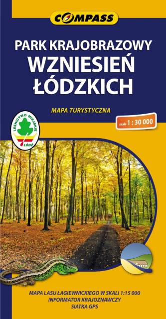
Park Krajobrazowy Wzniesień Łódzkich
Mapa przedstawia najbardziej interesującą pod względem rzeźby terenu północno-zachodnią część strefy krawędziowej Wzniesień Łódzkich. Park Krajobrazowy Wzniesień Łódzkich położony jest na północny-wschód od Łodzi, pomiędzy Łodzią, Brzezinami i Strykowem.
Najwyższy punktem na terenie PKWŁ jest tzw. wzgórze „Radary”, koło miejscowości Dąbrowa - leży na wysokości 284 m n.p.m. Wzgórza w południowej części parku opadają wyraźnymi stopniami w kierunku północnym, ku Pradolinie Warszawsko-Berlińskiej.
Dużymi walorami tego obszaru, oprócz rzeźby terenu, są lasy, doliny rzeczne, osobliwości przyrody (Las Janinowski – największy w centralnej Polsce las bukowy, Las Łagiewnicki – jeden z największych lasów miejskich w Europie) oraz krajobraz kulturowy. Sąsiedztwo dużej aglomeracji i gęsta sieć szlaków pieszych, rowerowych i konnych sprawia, że park ten cieszy się dużą popularnością wśród odwiedzających.

MAPA TURYSTYCZNA W APLIKACJI TRASEO
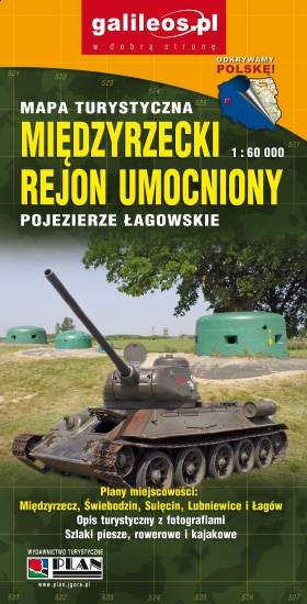
Międzyrzecki Rejon Umocniony. Pojezierze Łagowskie
Aktualizowana w terenie mapa Pojezierza Łagowskiego i Międzyrzeckiego Rejonu Umocnionego. Na mapie umieszczono aktualne szlaki piesze i rowerowe oraz rozrysowany schemat odcinka centralnego umocnień Międzyrzeckich.

MAPA TURYSTYCZNA W APLIKACJI TRASEO
Pojezierze Powidzkie
Mapa "Pojezierze Powidzkie" obejmuje powiat słupecki i okolice, wraz z Powidzkim i Nadwarciańskim Parkiem Krajobrazowym oraz przepięknym opactwem cysterskim w Lądzie. Zaznaczono na niej informacje przydatne turyście, oraz podano przebiegi szlaków pieszych i rowerowych.

MAPA TURYSTYCZNA W APLIKACJI TRASEO
Powiat kaliski
Mapa powiatu kaliskiego ze wszystkimi potrzebnymi turyście informacjami. Zaznaczono szlak kulinarny Kaliskie Smaki, szlak Kościołów Drewnianych Ziemi Kaliskiej i szlaki Dębów i Paproci oraz wszystkie inne szlaki turystyczne i rowerowe.
Rok wydania: 2017