Charakterystyka trasy

Komentarze
NA TYCH TRASACH PRZYDA CI SIĘ MAPOPRZEWODNIK LUB MAPA Z NASZEJ APLIKACJI
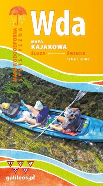
Mapa przedstawia szlak kajakowy rzeką Wdą od miejscowości Klanin do Świecia. Na mapie zaznaczono kilometraż rzeki oraz obiekty istotne dla kajakarza takie jak miejsca niebezpieczne, przeszkody na trasie spływu, pola biwakowe. Mapa jest zorientowana zgodnie z kierunkiem płynięcia.

Mapa Kociewia i Powiśla w części zachodniej obejmuje obszar zamknięty przez Skarszew na zachodzie, Kwidzyn na południu, Malbork na wschodzie i Tczew na północy. Mapa zawiera szczegółowy obraz terenu, wraz ze szlakami i atrakcjami turystycznymi. Na mapie Powiśla i Kociewia znajdziemy m.in. Szlak Zamków Powiśla, Szlak Grzymisława, EuroVelo 9 i Szlak Kopernikowski.
Kociewie jest to region etnograficzno-kulturowy na Pomorzu Gdańskim, położony na lewym brzegu Wisły w dorzeczu Wdy i Wierzycy, obejmujący wschodnią część Borów Tucholskich. W przybliżeniu Kociewie zajmuje obszar obecnych powiatów starogardzkiego, tczewskiego i północnej części świeckiego, zamieszkany przez ok. 350 tys. mieszkańców. Część mieszkańców regionu posługuje się gwarami kociewskimi.

Mapa Kociewia i Powiśla w części wschodniej obejmuje obszar zamknięty przez Białą Górę na zachodzie, Kwidzyn na południu i Elbląd na północnym wschodzie. Mapa zawiera szczegółowy obraz terenu, wraz ze szlakami i atrakcjami turystycznymi. Na mapie Powiśla i Kociewia znajdziemy m.in. Szlak Żuław Szlak Kopernikowski, Międzynarodowy Szlak Rowerowy R1.
Kociewie jest to region etnograficzno-kulturowy na Pomorzu Gdańskim, położony na lewym brzegu Wisły w dorzeczu Wdy i Wierzycy, obejmujący wschodnią część Borów Tucholskich. W przybliżeniu Kociewie zajmuje obszar obecnych powiatów starogardzkiego, tczewskiego i północnej części świeckiego, zamieszkany przez ok. 350 tys. mieszkańców. Część mieszkańców regionu posługuje się gwarami kociewskimi.
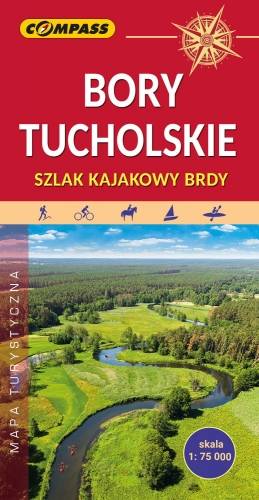
Mapa Borów Tucholskich przedstawia jest obszar, który jest jednym z największych kompleksów sosnowych w Polsce. Rozciąga się on się w dorzeczu Brdy i Wdy oraz w obrębie Równiny Tucholskiej i Równiny Charzykowskiej. Granice mapy wyznaczają: Wdzydze Tucholskie i Starogard Gdański na północy, Widno i Chojnice na zachodzie, Wierzchucin na południu i Warlubie na wschodzie. Rok wydania: 2024

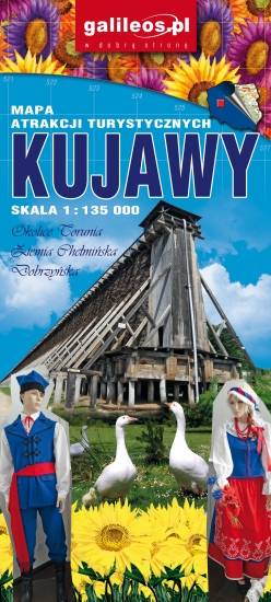
Aktualizowana w terenie mapa krajoznawcza Ziemi Chełmińskiej. Na mapie zaznaczono w postaci ikon najważniejsze atrakcje turystyczne regionu. Mapa obejmuje swym zasięgiem Chełmno, Toruń, Chełmżę, Świecie, Grudziądz, Golub-Dobrzyń oraz Bydgoszcz. Rok wydania 2017