category-icon

Trasa 25.07.2024, 12:59

1187 km
278 h 33 min
7790 m
8025 m
no photo

Route characteristics

2024-07-13
category-icon
Trip length:
1187 km
Total ascent:
7790 m
Total descent:
8025 m
Average time needed to complete the route:
278 h 33 min
Route rating:
1.0/6

Comments

ON THESE ROUTES YOU WILL NEED A MAP GUIDE OR A MAP FROM OUR APP

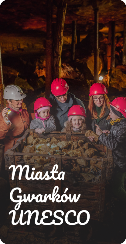
Miasta Gwarków UNESCO
Źródła industrialnego Śląska- Tarnowskie Góry, Bytom i Zbrosławice
Miasta Gwarków to obszar, w którym historia górnictwa łączy Tarnowskie Góry, Bytom i Zbrosławice. Rowerem, lub pieszo odkryjesz tu krajobrazy ukształtowane przez wydobycie srebra, ołowiu i cynku, zabytki techniki, przyrodę oraz miejsca związane z życiem gwarków. Najważniejsze atrakcje można zwiedzać także od środka – od Zabytkowej Kopalni Srebra i Sztolni Czarnego Pstrąga po przejazd Górnośląskimi Kolejami Wąskotorowymi. Warto zostać na dłużej: Miasta Gwarków oferują bogatą bazę atrakcji turystycznych, restauracji, kawiarni i noclegów. To tutaj bije źródło industrialnego Śląska, a obiekty wpisane na Listę Światowego Dziedzictwa UNESCO zapraszają do poznania lokalnej historii.
Bike trails

5
108
MapGuide
Langkofel
TOURIST MAP IN THE TRASEO APP
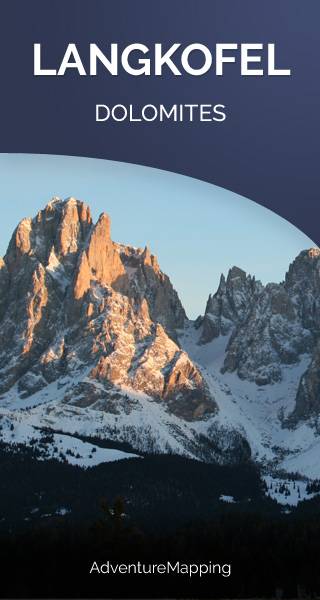
Langkofel
The Langkofel (3,181m) is the highest mountain of the Langkofel Group in the Dolomites in South Tyrol, Italy. The name translates to "long peak". It stands over the Ladin community of Val Gardena.
Sella Group
TOURIST MAP IN THE TRASEO APP
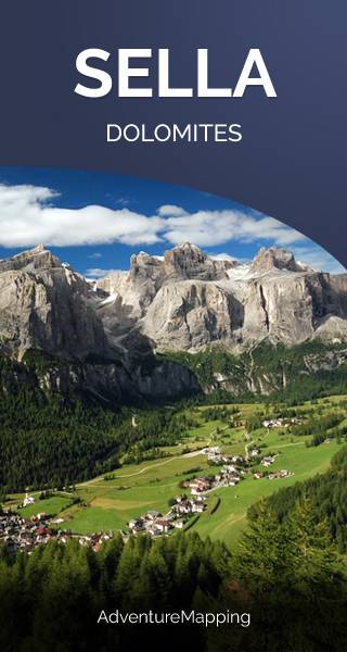
Sella Group

The Sella group is a plateau-shaped massif in the Dolomites mountains of northern Italy. The Sella lies north of the Marmolada and to the east of the Langkofel. The highest peak is Piz Boè at 3,151 m above sea level. The Sella lies between the four Ladin valleys of Badia, Gherdëina, Fascia, and Fodom and is divided between the provinces of South Tyrol, Trentino and Belluno. It can be driven around by car crossing the Campolongo Pass, Pordoi Pass, Sella Pass, and Gardena Pass. In winter it is possible to ski around the entire massif by using the Sella Ronda ski lift carousel. (wikipedia.com)

Cristallo
TOURIST MAP IN THE TRASEO APP
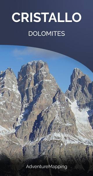
Cristallo
Cristallo is a mountain in the Italian Dolomites, northeast of Cortina d'Ampezzo, in the province of Belluno, Veneto, northern Italy. It is a long, indented ridge with four summits higher than 3,000 m. The highest peaks of the Cristallo massif are Monte Cristallo (3,221 m), Piz Popena (3,153 m), Cima di Mezzo (3,154 m), and Cristallino d'Ampezzo (3,008 m). Cima di Mezzo and Cristallino d'Ampezzo can be reached by via ferratas, while Monte Cristallo and Piz Popena both require climbing skills. (wikipedia.com)
Tre Cime di Lavaredo
TOURIST MAP IN THE TRASEO APP
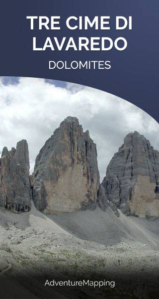
Tre Cime di Lavaredo
The Tre Cime di Lavaredo are three distinctive battlement-like peaks, in the Sexten Dolomites of northeastern Italy. They are probably one of the best-known mountain groups in the Alps. They lie on the border between the Italian provinces of South Tyrol and Belluno and are a part of the linguistic boundary between German-speaking and Italian-speaking majorities. The Cima Grande has an elevation of 2999 m. Numerous routes lead from the surrounding communities to and around the peaks. (wikipedia.com)
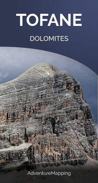
Tofane
TOURIST MAP IN THE TRASEO APP
Tofane
Tofane is a mountain group in the Dolomites of northern Italy, west of Cortina d'Ampezzo in the province of Belluno, Veneto. Most of the Tofane lies within Parco naturale delle Dolomiti d'Ampezzo, a nature park. The highest peaks of the Tofane group are Tofana di Mezzo (3,244 m), Tofana di Dentro (3,238 m), and Tofana di Rozes (3,225 m). Tofana di Mezzo is the third highest peak in the Dolomites, after Marmolada and Antelao.