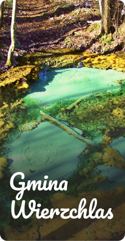
category-icon

Trasa 23.08.2024, 21:13

1536 km
81 h 14 min
4268 m
4264 m
Polska, warmińsko-mazurskie, Olsztyn

Charakterystyka trasy

2024-08-20
Polska, warmińsko-mazurskie, Olsztyn
category-icon
1536 km
4268 m
4264 m
81 h 14 min
3.0/6
2024 wypad Czechy

Komentarze

NA TEJ TRASIE PRZYDA CI SIĘ MAPA Z NASZEJ APLIKACJI

Masyw Ślęży
MAPA TURYSTYCZNA W APLIKACJI TRASEO
Masyw Ślęży

A shaded tourist map of the Masyw Ślęży with a description and photographs. On the map you can find the current hiking and cycling trails along with the time needed to pass it, and the most important attractions. Year of publication 2020

Wielka Sowa
MAPA TURYSTYCZNA W APLIKACJI TRASEO
Wielka Sowa

Wielka Sowa to najbadziej popularny i najliczniej odwiedzany szczyt w Górach Sowich, jednocześnie jest to również najwyższy szczyt tego pasma Sudetów - 1015 m. n.p.m. Na szczycie Wielkiej Sowy odbywają się różne imprezy, zloty czy pikniki. Mapa obejmuje teren ograniczony miejscowościami: Walim, Pieszyce, Dzierżoniów, Jugów. Zaznaczono na niej aktualny przebieg szlaków turystycznych pieszych i rowerowych z ich długościami. Na mapie naniesiono ośrodki noclegowe i restauracje. Siatka geograficzna zgodna z GPS oparta na układzie WGS-84.
Mapa została przygotowana tylko dla urządzeń cyfrowych, nie ma odpowiednika w wersji papierowej.

Opole
MAPA TURYSTYCZNA W APLIKACJI TRASEO
Opole

Plan miasta Opola w nowych granicach administracyjnych. Na planie umieszczono całą infrastrukturę miejską (urzędy, szkoły, teatry, kina) i turystyczną (szlaki, zabytki). Rok wydania: 2020

Łódź Hills Landscape Park
MAPA TURYSTYCZNA W APLIKACJI TRASEO
Łódź Hills Landscape Park
Łódź Hills Landscape Park is a protected area in central Poland, established in 1996, covering an area of 137.67 square kilometres (53.15 sq mi). The Park lies within Łódź Voivodeship: in Brzeziny County (Gmina Brzeziny, Gmina Dmosin), Łódź East County (Gmina Nowosolna) and Zgierz County (Gmina Stryków, Gmina Zgierz). Within the Landscape Park are three nature reserves.
Bardzkie Mountains
MAPA TURYSTYCZNA W APLIKACJI TRASEO
Bardzkie Mountains

The Bardzkie Mountains are a mountain range in the Central Sudetes in the Lower Silesian Voivodeship, southern Poland. Ząbkowice Śląskie, Srebrna Góra, Bardo and Kłodzko are the biggest towns covered by the map. Tourist attractions, cycling and walking trails are marked on the map, as well as monuments, protected areas borders, accomodation facilities.

Opawskie Mountains
MAPA TURYSTYCZNA W APLIKACJI TRASEO
Opawskie Mountains

The Opawskie Mountains are a mountain range in the Eastern Sudetes. They stretch from northern Czech Silesia into Polish Upper Silesia, the eastern continuation of the Golden Mountains range.The Polish part of the range includes a protected area known as the Opawskie Mountains Landscape Park. It is named after the Opava River with its source in the neighbouring Hrubý Jeseník range. On the map in detailed scale tourist attractions, cycling and walkig trails, and educational trails are marked.

Update: 2017