


WojCiuWojCiu
Charakterystyka trasy
2020-02-21
Polska, podkarpackie, Dębica, powiat dębicki

Długość trasy:
6.4 kmSuma przewyższeń:
280 mSuma spadków:
29 mŚredni czas potrzebny na pokonanie trasy:
1 h 20 minOcena trasy:
1.2/6Komentarze
NA TYCH TRASACH PRZYDA CI SIĘ MAPOPRZEWODNIK LUB MAPA Z NASZEJ APLIKACJI
MAPA TURYSTYCZNA W APLIKACJI TRASEO
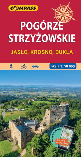
Pogórze Strzyżowskie
Mapa okolic Jasła i Krosna obejmuje obszar wchodzący w skład Pogórza Karpackiego. Zasięg mapy wyznaczają: Pilzno i Skołyszyn na zachodzie, Dębica i Sędziszów Małopolski na północy, Czudec i Besko na wschodzie oraz Dukla i Rymanów na południu. Rok wydania 2022
MAPA TURYSTYCZNA W APLIKACJI TRASEO
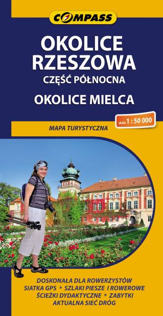
Okolice Rzeszowa. Część północna
Mapa Rzeszowa i okolic przedstawia środkową część województwa podkarpackiego na północ od miasta, w tym okolice Mielca. Zasięg mapy wyznaczają: Szwagrów i Nowa Dęba na północy, Czermin na zachodzie, Dębica i Rzeszów na południu, Białobrzegi i Leżajsk na wschodzie. Obszar mapy obejmuje Łańcut i Leżajsk – atrakcyjne turystycznie miasta z dużym nagromadzeniem zabytków. Okolice Rzeszowa i Mielca to wciąż mało znany wśród turystów region. Mapa doskonale nadaje się do wycieczek rowerowych i pieszych, jak również dla osób zmotoryzowanych.