


Artimea Artur Maasaartimeamaas
Charakterystyka trasy
2019-05-03
Polska, mazowieckie, Ołtarzew, powiat warszawski zachodni

Długość trasy:
19 kmSuma przewyższeń:
10 mSuma spadków:
0 mŚredni czas potrzebny na pokonanie trasy:
10 minOcena trasy:
1.4/6Komentarze
NA TYCH TRASACH PRZYDA CI SIĘ MAPOPRZEWODNIK LUB MAPA Z NASZEJ APLIKACJI
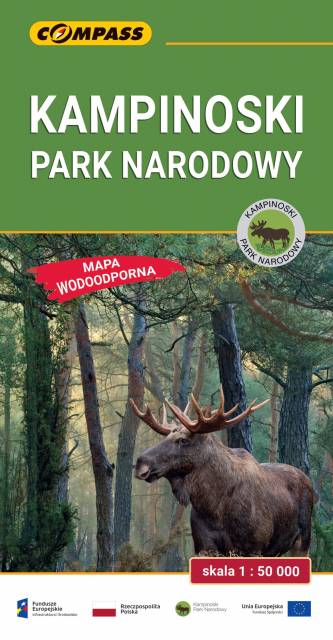
MAPA TURYSTYCZNA W APLIKACJI TRASEO
Kampinoski Park Narodowy
Mapa Kampinoskiego Parku Narodowego obejmuje cały obszar Parku (wraz z enklawami) oraz tereny przyległe. Zasięg mapy od północy ogranicza dolina Wisły, od zachodu Bzura, a od wschodu aglomeracja warszawska. Zasięg mapy wyznaczają: Nowy Dwór Mazowiecki na północy, Sochaczew na zachodzie, Pruszków na południu i Warszawa oraz Legionowo na wschodzie. Wydanie: 2024