


Charakterystyka trasy

Komentarze
NA TYCH TRASACH PRZYDA CI SIĘ MAPOPRZEWODNIK LUB MAPA Z NASZEJ APLIKACJI
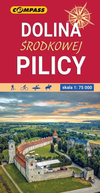
Pilica is a river in central Poland, the longest left tributary of the Vistula river, with a length of 319 kilometres (8th longest) and the basin area of 9,273 km2 (all in Poland). It flows through the Polish Jura, after which it enters Central Polish Plains. Pilica flows into the Vistula near the village of Ostrowek, in a geographical region of Central Vistula Valley. In 1974, a dam was built near Sulejow, resulting in the creation of man-made reservoir Sulejow Lake, which has the area of 2,700 hectares. The region in the basin of the Pilica is sometimes called Nadpilicze, and the river itself marks boundary between Lesser Poland, and two other historical provinces of the country, Greater Poland and Mazovia. Map range: Rokiciny-Kolonia to the north, Piotrków-Trybunalski to the west, Szczekociny to the south and Nowe-Miasto, Drzewica, Małogoszcz to the east. Map depicts Sulejowskie Lake, Sulejowski Landscape Park, Spalski Landscape Park, Przedborski Landscape Park nad cities of: Piotrków Trybunalski, Tomaszów Mazowiecki, Opoczno, Sulejów, Przedbórz, Włoszczowa, Koniecpol. Pilica canoeing trail is marked on the map, as well as walking, cycling and horce trails.