
Charakterystyka trasy

Komentarze
NA TYCH TRASACH PRZYDA CI SIĘ MAPOPRZEWODNIK LUB MAPA Z NASZEJ APLIKACJI
Mapa Olsztyna i okolic przedstawia północną część Pojezierza Olszyńskiego oraz fragment Pojezierza Iławskiego i Mrągowskiego. Zasięg mapy wyznaczają: Lubomino i Dobre Miasto na północy, Reszel i Sorkwity na wschodzie, Olsztyn na południu oraz Morąg na zachodzie. Malowniczy krajobraz, ukształtowany w czasie ostatniego zlodowacenia, tworzą liczne jeziora, rzeki, wzgórza morenowe i rozległe kompleksy leśne (Lasy Taborskie, Las Wichrowski). Do największych atrakcji kulturowych regionu należą zabytki gotyckie, w tym zamki krzyżackie (m.in. w Olsztynie, Reszlu, Dobrym Mieście, Morągu). Mapa doskonała do wszelkich form aktywności turystycznej, także dla żeglarzy ze względu na naniesione szlaki żeglarskie i batymetrię jezior. Uzupełnieniem mapy jest "Pojezierze Olsztyńskie - część południowa". Rok wydania 2023
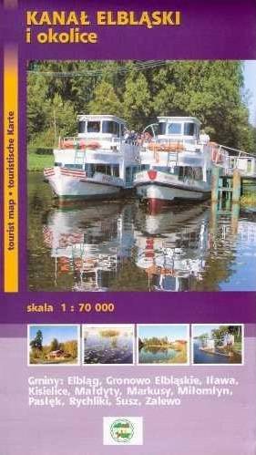
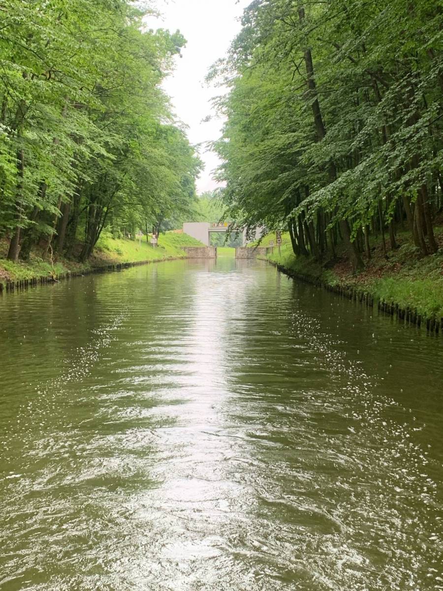
Mapa "Kanał Elbląski" przedstawia przebieg jednej z większych atrakcji Polski północnej, jaką jest właśnie Kanał Elbląski, czyli żeglowna droga wodna na terenie województwa warmińsko-mazurskiego. W latach 70. XX w. część kanału została uznana za zabytek techniki. W ostatnim czasie Kanał przeszedł modernizację, dzięki czemu stał się jeszcze bardziej godnym odwiedzenia. Mapa turystyczna Kanału Elbląskiego przedstawia największe atrakcje okolicy, zabytki, drogi i ścieżki.
Rok wydania: 2012
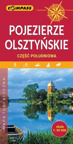
Mapa Olsztyna i okolic przedstawia południową część Pojezierza Olszyńskiego, fragment Pojezierza Iławskiego i Mrągowskiego oraz Garb Lubawski na południowym zachodzie. Zasięg mapy wyznaczają: Olsztyn na północy, Szczytno na wschodzie, Olsztynek na południu oraz Miłomłyn na zachodzie. Jest to obszar wyjątkowo atrakcyjny turystycznie. Malowniczy krajobraz, ukształtowany w czasie ostatniego zlodowacenia, tworzą liczne jeziora, rzeki, wzgórza morenowe i rozległe kompleksy leśne (Lasy Taborskie, Lasy Purdzkie, Lasy Łańskie). Do największych atrakcji kulturowych regionu należą zabytki gotyckie, w tym zamki krzyżackie, Muzeum Budownictwa Ludowego w Olsztynku, Sanktuarium Maryjne w Gietrzwałdzie. Dużą atrakcją turystyczną regionu jest Kanał Elbląski. Rok wydania 2019
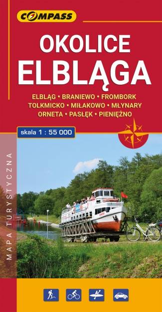
Mapa turystyczna "Elbląg i okolice" w skali 1:55 000, opracowana w ramach bliskiej współpracy z Oddziałem PTTK w Elblągu. Tytuł "Okolice Elbląga" to tylko hasło, bo mapa obejmuje obszar szeroko pojętych okolic Elbląga. Sięga oczywiście po Frombork, Krynicę Morską, Pasłęk, Braniewo, a na wschodzie aż po Pieniężno, Ornetę, Miłakowo. Zatem niezwykle atrakcyjne, ale może niezbyt popularne turystycznie tereny Wysoczyzny Elbląskiej i północnej Warmii.