Charakterystyka trasy
Komentarze
NA TYCH TRASACH PRZYDA CI SIĘ MAPOPRZEWODNIK LUB MAPA Z NASZEJ APLIKACJI
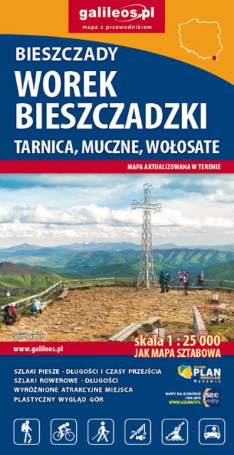
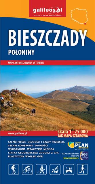
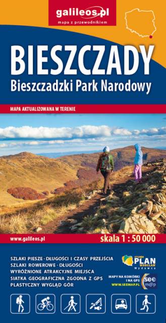
The map covers the most interesting mountain ranges of the Bieszczady Mountains. It includes all the polonynas: Wetlińska, Caryńska, Bukowska, Dźwinicka, Tarnica, Szeroki Wierch, Mała and Duży Rawka and the Jeleniowego Range (next to Muczne) with a newly built viewing tower. All the trails and educational paths are shown, with their lengths and walking times. Their lengths are given next to the cycling routes. In addition, all the information needed by tourists is marked on the map.
The descriptive part of the map, enriched with photographs, includes information about the mountain ranges and peaks and the towns located in the area.
The map covers the area from Wola Michowska to Tarnawa Niżna and from “The Sack of Bieszczady” to Solina Lake. It includes all the polonynas: Wetlińska, Caryńska, Bukowska, Dźwinicka, Tarnica, Szeroki Wierch, Mała and Duża Rawka and the Jeleniowego Range (next to Muczne) with a newly built viewing tower. “The Sack of Bieszczady” is shown on a separate sheet. All the trails and nature trails are shown here, with their lengths and walking times. Their lengths are given next to the cycling routes. In addition, all the information needed by tourists is marked on the map.
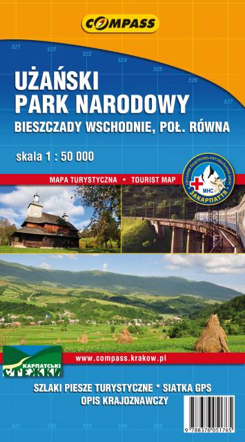
The map depicts the Polish Bieszczady mountains, which are part of the Eastern Carpathians, spreading over the Slovak, Polish and Ukrainian borders. Map range: Lesko and Ustrzyki Dolne to the north, Komańcza to the west, the Ukrainian border to the east. The map also presents part of Národný park Poloniny (Poloniny National Park) in Slovakia.