


Charakterystyka trasy

Komentarze
NA TYCH TRASACH PRZYDA CI SIĘ MAPOPRZEWODNIK LUB MAPA Z NASZEJ APLIKACJI
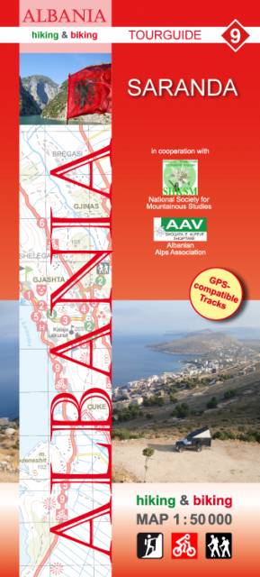
Mapa przedstawia południowe krańce Albanii, rejon od granicy z Grecją do miasta Delvina. "Hiking & biking" to seria map niemieckiego wydawnictwa, przygotowana we współpracy z AAV (Associaton Albanian Alps) z myślą o wymagających turystach. Zawiera opracowane przez albańskie stowarzyszenie propozycje wycieczek pieszych i rowerowych. Zaznaczone są informacje wysokościowe, drogi leśne, miejsca przeznaczone do wspinaczki skałkowej, spływów kajakowych, ale także atrakcje i infrastruktura turystyczna w miastach.

Rejon wzdłuż albańskiego wybrzeża, pomiędzy miastami Vlora na północy i Himare na południu. "Hiking & biking" to seria map niemieckiego wydawnictwa, przygotowana we współpracy z AAV (Associaton Albanian Alps) z myślą o wymagających turystach. Zawiera opracowane przez albańskie stowarzyszenie propozycje wycieczek pieszych i rowerowych. Zaznaczone są informacje wysokościowe, drogi leśne, miejsca przeznaczone do wspinaczki skałkowej, spływów kajakowych, ale także atrakcje i infrastruktura turystyczna w miastach.
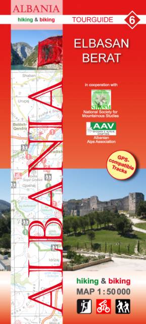
Mapa przedstawia region w środkowej Albanii, pomiędzy miastami Elbasan i Berat. "Hiking & biking" to seria map niemieckiego wydawnictwa, przygotowana we współpracy z AAV (Associaton Albanian Alps) z myślą o wymagających turystach. Zawiera opracowane przez albańskie stowarzyszenie propozycje wycieczek pieszych i rowerowych. Zaznaczone są informacje wysokościowe, drogi leśne, miejsca przeznaczone do wspinaczki skałkowej, spływów kajakowych, ale także atrakcje i infrastruktura turystyczna w miastach.

Mapa obejmuje okolicę albańskiej stolicy, od wybrzeża i miasta Durrës na zachodzie po pasmo górskie Mali i Dajtit na wschodzie. Na północy mapa obejmuje miasto Kruja, na południu - okolice Tirany. "Hiking & biking" to seria map niemieckiego wydawnictwa, przygotowana we współpracy z AAV (Associaton Albanian Alps) z myślą o wymagających turystach. Zawiera opracowane przez albańskie stowarzyszenie propozycje wycieczek pieszych i rowerowych. Zaznaczone są informacje wysokościowe, drogi leśne, miejsca przeznaczone do wspinaczki skałkowej, spływów kajakowych, ale także atrakcje i infrastruktura turystyczna w miastach.