Miasta Gwarków UNESCO
Źródła industrialnego Śląska- Tarnowskie Góry, Bytom i Zbrosławice
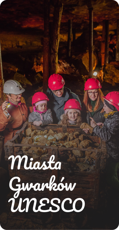
Miasta Gwarków to obszar, w którym historia górnictwa łączy Tarnowskie Góry, Bytom i Zbrosławice. Rowerem, lub pieszo odkryjesz tu krajobrazy ukształtowane przez wydobycie srebra, ołowiu i cynku, zabytki techniki, przyrodę oraz miejsca związane z życiem gwarków. Najważniejsze atrakcje można zwiedzać także od środka – od Zabytkowej Kopalni Srebra i Sztolni Czarnego Pstrąga po przejazd Górnośląskimi Kolejami Wąskotorowymi. Warto zostać na dłużej: Miasta Gwarków oferują bogatą bazę atrakcji turystycznych, restauracji, kawiarni i noclegów. To tutaj bije źródło industrialnego Śląska, a obiekty wpisane na Listę Światowego Dziedzictwa UNESCO zapraszają do poznania lokalnej historii.