Charakterystyka trasy

Komentarze
NA TYCH TRASACH PRZYDA CI SIĘ MAPOPRZEWODNIK LUB MAPA Z NASZEJ APLIKACJI
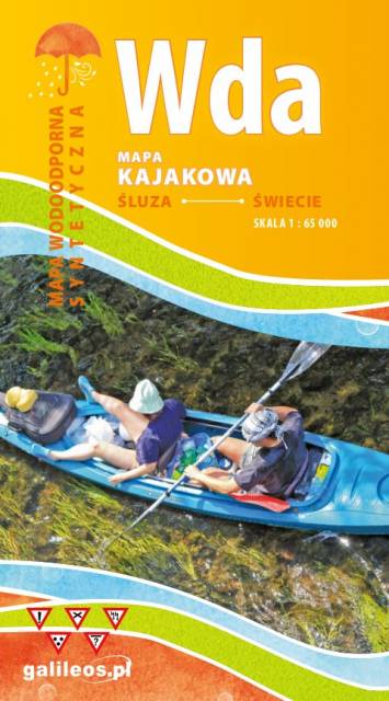
Mapa przedstawia szlak kajakowy rzeką Wdą od miejscowości Śluza do Klanin. Na mapie zaznaczono kilometraż rzeki oraz obiekty istotne dla kajakarza takie jak miejsca niebezpieczne, przeszkody na trasie spływu, pola biwakowe. Mapa jest zorientowana zgodnie z kierunkiem płynięcia.
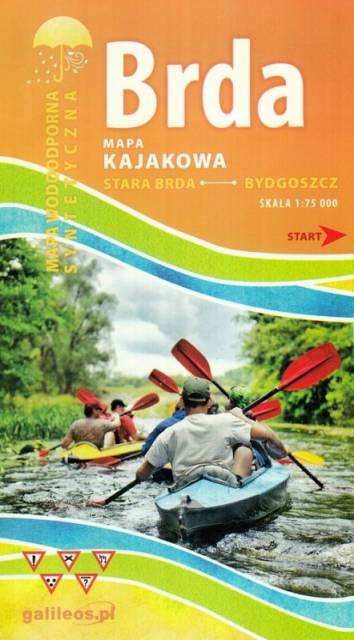
Mapa Brda przedstawia szlak kajakowy rzeką Brdą, od Nowej Brdy do Tucholskiego PK. Na mapie zaznaczono kilometraż rzeki oraz obiekty istotne dla kajakarza takie jak miejsca niebezpieczne, przeszkody na trasie spływu, pola biwakowe.
Mapa jest zorientowana zgodnie z kierunkiem płynięcia.
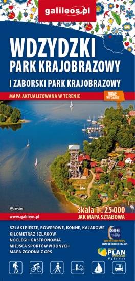
Mapa Parków Krajobrazowych Wdzydzkiego i Zaborskiego. Na mapie zaznaczono przebieg szlaków pieszych, rowerowych, konnych i kajakowych. Przy szlakach uwzględniono kilometraż. Na mapie znajdziemy położenie punktów noclegowych i gastronomicznych. Rok wydania: 2020