category-icon

Trasa 13_04_2024 14:34

127 km
2 h 9 min
90 m
108 m
Polska, kujawsko-pomorskie, Bydgoszcz
no photo

Charakterystyka trasy

2024-04-13
Polska, kujawsko-pomorskie, Bydgoszcz
category-icon
127 km
90 m
108 m
2 h 9 min
1.0/6

Komentarze

NA TEJ TRASIE PRZYDA CI SIĘ MAPA Z NASZEJ APLIKACJI

Brda - cz. południowa
MAPA TURYSTYCZNA W APLIKACJI TRASEO
Brda - cz. południowa

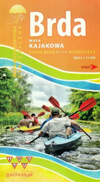
Mapa Brda przedstawia szlak kajakowy rzeką Brdą, od Tucholi do Bydgoszczy. Na mapie zaznaczono kilometraż rzeki oraz obiekty istotne dla kajakarza takie jak miejsca niebezpieczne, przeszkody na trasie spływu, pola biwakowe.

Mapa jest zorientowana zgodnie z kierunkiem płynięcia.

Żołędowo Forests
MAPA TURYSTYCZNA W APLIKACJI TRASEO
Żołędowo Forests
Map presents northern part of Bydgoszcz region. Map range: Świekatów to the north, Bydgoszcz Aeroport to the south, Nakło nad Notecią to the west and Dąbrowa Chełmińska to the east.
Poznań Region. Northern Part
MAPA TURYSTYCZNA W APLIKACJI TRASEO
Poznań Region. Northern Part

The map presents part of the Greater Poland Voivodeship in west-central Poland, south from Poznań. It covers such areas as the Puszcza Zielonka Landscape Park and the Promno Landscape Park. Tourist attractions, cycling and walking trails are marked on the map, as well as other information useful for tourists.

Ziemia Chelmińska - Gothic Land
MAPA TURYSTYCZNA W APLIKACJI TRASEO
Ziemia Chelmińska - Gothic Land

An updated map of Ziemia Chełmińska. The most important tourist attractions of the region are marked on the map as icons. The map covers Chełmno, Toruń, Chełmża, Świecie, Grudziądz, Golub-Dobrzyń and Bydgoszcz. Year of publication 2017

Kujawy
MAPA TURYSTYCZNA W APLIKACJI TRASEO
Kujawy

Kujawy is a historical region in north-central Poland, situated on the left bank of Vistula, east from Noteć River and Lake Gopło. The region is characterized by a rich tradition of folklore. The map is dedicated mainly for tourists with cars. Most interesting places are presented with coloured graphic symbols.

Szlak Piastowski
MAPA TURYSTYCZNA W APLIKACJI TRASEO
Szlak Piastowski

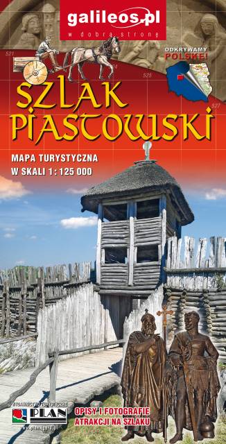
Mapa turystyczna Szlaku Piastowskiego, który przebiega przez województwa: wielkopolskie i kujawsko-pomorskie. Mapa została zaktualizowana w terenie, zostały na niej uwzględnione wszelkie niezbędne informacje turystyczno-krajoznawcze oraz informacje praktyczne. Rok Wydania 2017

Miejscowości na trasie