


Charakterystyka trasy

Komentarze
NA TYCH TRASACH PRZYDA CI SIĘ MAPOPRZEWODNIK LUB MAPA Z NASZEJ APLIKACJI
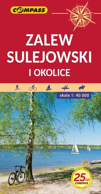
Mapa przedstawia okolice jednego z największych sztucznych zbiorników wodnych w Polsce. Zalew Sulejowski rozciąga się między Sulejowem a Smardzewicami z południowego-zachodu na północny-wschód. Dzięki większemu arkuszowi zasięg tego wydania mapy został znacznie powiększony, i wyznaczają go: Tomaszów Mazowiecki na północy, Piotrków Trybunalski na zachodzie, Sulejów na południu i Sławno na wschodzie. Mapa adresowana jest zarówno dla wodniaków korzystających z walorów Zalewu Sulejowskiego jak miłośników wypraw rowerowych i pieszych wędrówek dla mieszkańców Tomaszowa Maz., Piotrkowa Trybunalskiego i pozostałych okolicznych miejscowości.
Zalew stwarza znakomite warunki do uprawiania sportów i wszelkiej rekreacji wodnej.
Jego atutem jest naturalna i urozmaicona, porośnięta w większości borami sosnowymi linia brzegowa, na której występują liczne plaże. Atrakcyjne środowisko naturalne w połączeniu z dobrym zagospodarowaniem turystycznym gwarantują udany wypoczynek nad wodą.
Na odwrocie mapy znajduje się informator krajoznawczy, wędkarski i żeglarski.
Rok wydania: 2021
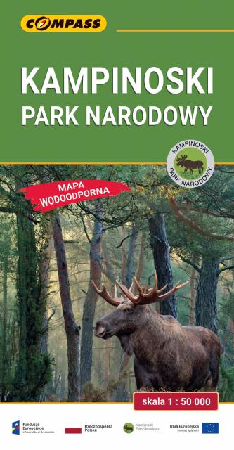
Mapa Kampinoskiego Parku Narodowego obejmuje cały obszar Parku (wraz z enklawami) oraz tereny przyległe. Zasięg mapy od północy ogranicza dolina Wisły, od zachodu Bzura, a od wschodu aglomeracja warszawska. Zasięg mapy wyznaczają: Nowy Dwór Mazowiecki na północy, Sochaczew na zachodzie, Pruszków na południu i Warszawa oraz Legionowo na wschodzie. Wydanie: 2024

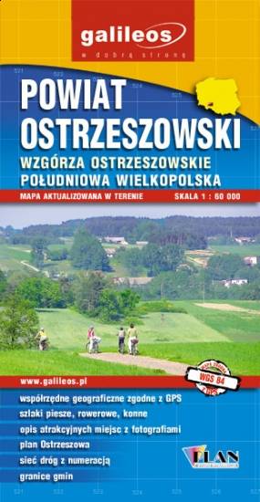
Mapa turystyczna Powiatu Ostrzeszowskiego, zawiera sieć dróg z numeracją, granice gmin.Na mapie zaznaczono informacje przydatne turyście, jak zabytki, noclegi, granice obszarów chronionych. W miejscowościach opisano nazwy ulic. Podano przebiegi szlaków pieszych i rowerowych. Ukształtowanie terenu pokazano przy pomocy warstwic o cięciu co 10 m.

Mapa "Pojezierze Powidzkie" obejmuje powiat słupecki i okolice, wraz z Powidzkim i Nadwarciańskim Parkiem Krajobrazowym oraz przepięknym opactwem cysterskim w Lądzie. Zaznaczono na niej informacje przydatne turyście, oraz podano przebiegi szlaków pieszych i rowerowych.