
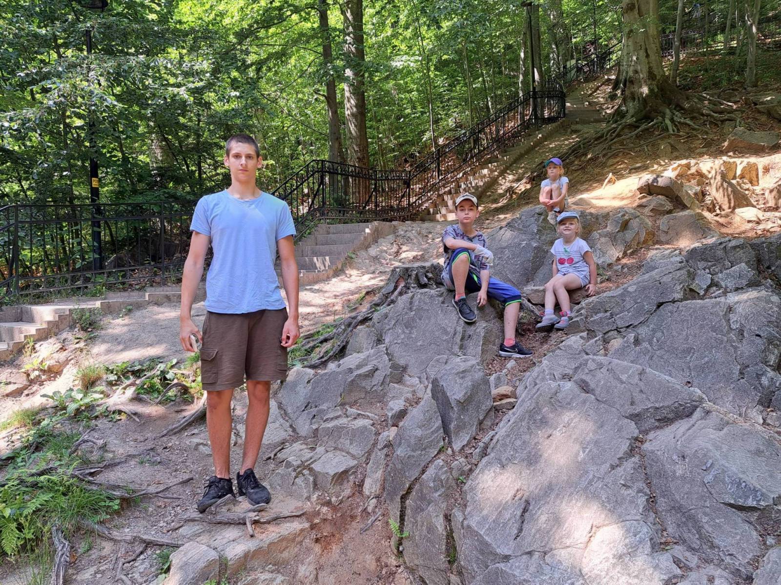
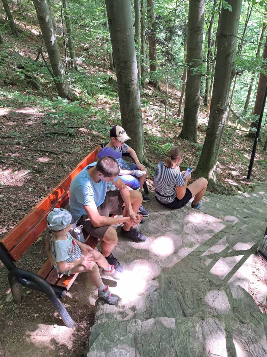
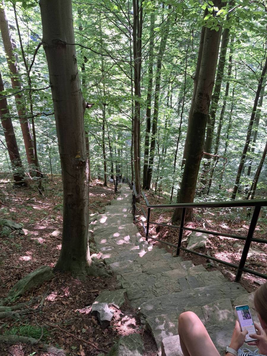
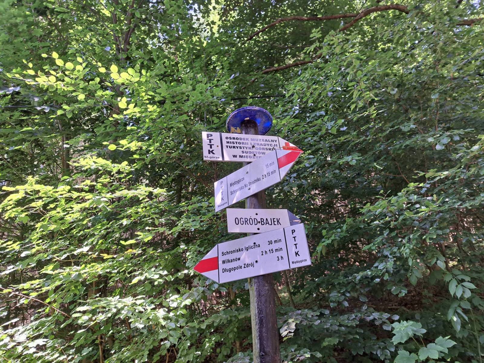
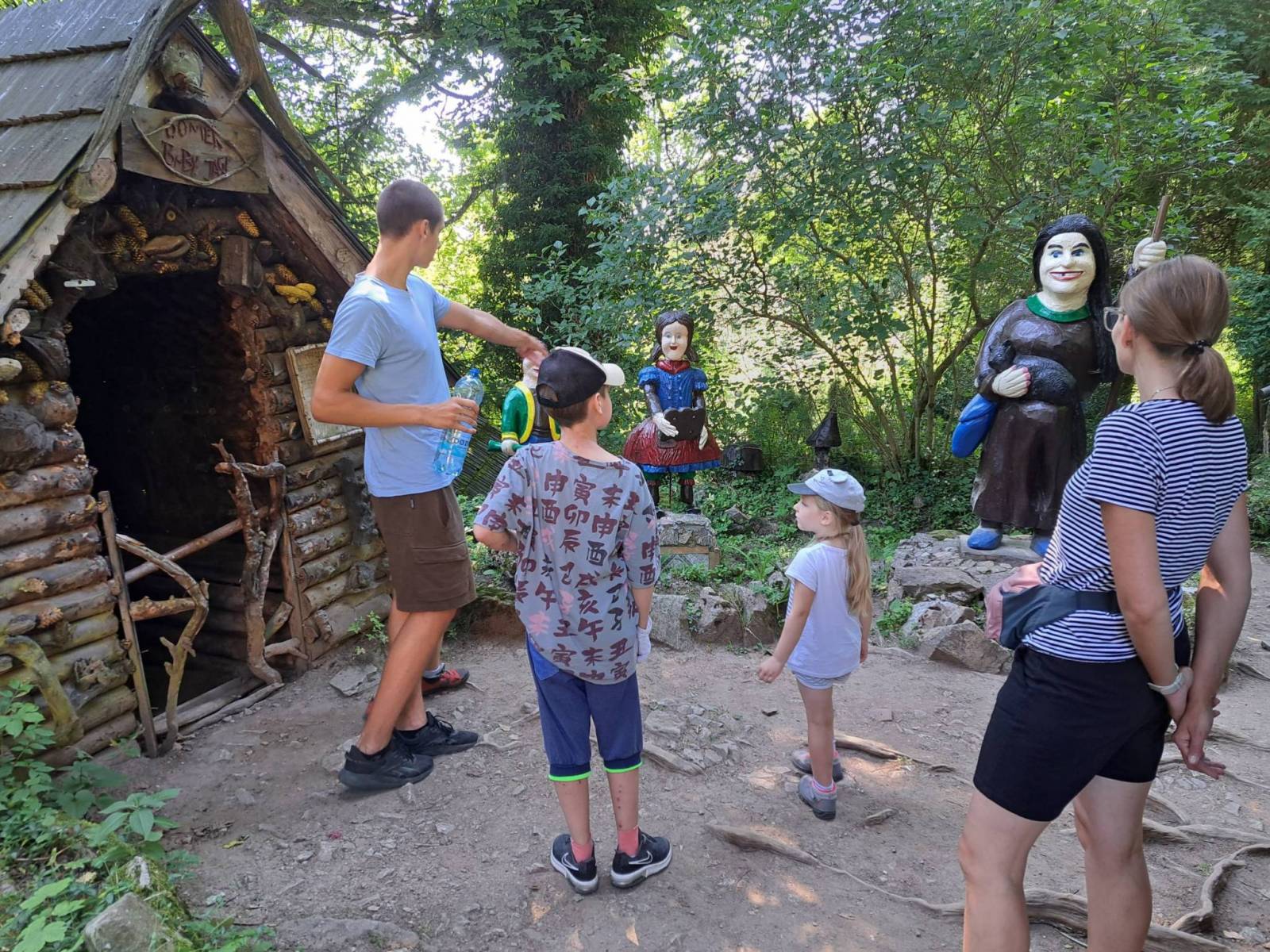


Charakterystyka trasy

Komentarze
NA TYCH TRASACH PRZYDA CI SIĘ MAPOPRZEWODNIK LUB MAPA Z NASZEJ APLIKACJI
Mapa obejmuje obszar Masywu Śnieżnika. Na mapie zaznaczono informacje przydatne turyście, jak zabytki, noclegi, granice obszarów chronionych. W miejscowościach opisano nazwy głównych ulic. Podano aktualne przebiegi szlaków pieszych i rowerowych, łącznie z kilometrażem. Rok wydania 2021
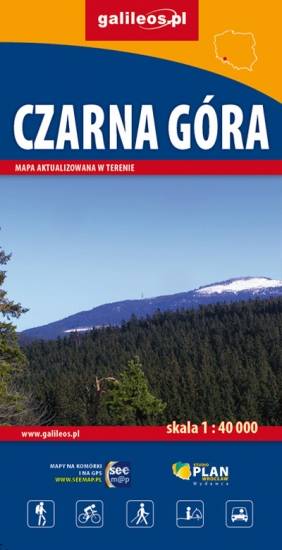
Mapa Czarnej Góry i okolic. Zakres mapy ograniczony jest miejscowościami: Stronie Śląskie, Bystrzyca Kłodzka, Międzylesie i Stare Miasto w Czechach. Znajduje się tu popularny ośrodek narciarski. Na mapie zaznaczono szlaki piesze i rowerowe (z długościami), konne, a także ścieżki przyronicze. Jest oznaczona baza noclegowa i gastronomiczna.
Mapa została wydana jdunie w formie cyfrowej – brak dostępnej wersji papierowej.
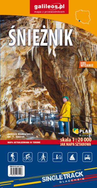
Mapa Masywu Śnieżnika przedstawia jedno z wyższych w Sudetach pasm górskich, które zamyka od południa Kotlinę Kłodzką. Zaliczamy je do Sudetów Wschodnich. Zasięg mapy wyznaczają: Bystrzyca Kłodzka na północnym-zachodzie, Międzylesie na południowym-zachodzie oraz Jindrichov na południowym-wschodzie. Obszar mapy obejmuje: Masyw Śnieżnika z najwyższym szczytem Śnieżnikiem (1426 m n.p.m.), Góry Bialskie, Kralicky Sneznik, częściowo także Rychlebske hory i Góry Złote oraz miasto Stronie Śląskie.
Duże zróżnicowanie krajobrazowe, doskonałe zagospodarowanie turystyczne podszczytowego rejonu Śnieżnika z jednej strony i „dzikość” Gór Bialskich z drugiej – to najlepsze atuty tego obszaru. Pobyt w tym regionie z pewnością miło wspominać będą nie tylko turyści piesi, ale także miłośnicy narciarstwa, jazdy rowerowej i konnej, wspinacze skałkowi oraz wędkarze. Rok wydania 2023
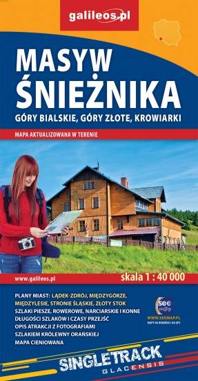
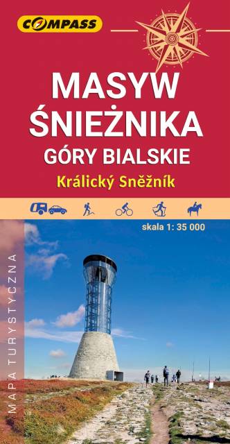
Mapa Masywu Śnieżnika, Gór Złotych i Bialskich oraz Krowiarek, z najwyższym szczytem Ziemi Kłodzkiej - Śnieżnikiem i Ośrodkiem Narciarskim Czarna Góra. Znajdują się tu takie atrakcje jak Wodospad Wilczki i Jaskinia Niedźwiedzia. Na mapie zaznaczono informacje przydatne turyście, jak zabytki, noclegi, granice obszarów chronionych, szczególnie atrakcyjne miejsca zaznaczono żółtą ramką. W miejscowościach opisano nazwy ulic. Podano aktualne przebiegi szlaków pieszych, rowerowych, narciarskich i konnych, łącznie z kilometrażem, co pozwoli łatwiej zaplanować wycieczkę. Przy szlakach pieszych podano także orientacyjny czas przejścia.
Ziemi Kłodzkiej - historycznej krainy (teren dawnego hrabstwa kłodzkiego) obejmującej Kotlinę Kłodzką i otaczające ją tereny górskie: Góry Stołowe, Góry Sowie, Góry Bardzkie, Góry Złote, Góry Bialskie, Masyw Śnieżnika, Góry Bystrzyckie, Góry Orlickie. Zasięg mapy wyznaczają od wschodu Złoty Stok i Javornik po czeskiej stronie, od zachodu Kudowa-Zdrój, Nachod, Police, Teplice (zatem praktycznie całe Góry Stołowe) po czeskiej stronie. Od północy zasięg wyznaczają: Ząbkowice Śląskie i Srebrna Góra, od południa obrzeża miasta Zamberk po czeskiej stronie. Rok wydania: 2024
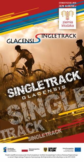
Mapa turystyczna przedstawia obszar Ziemi Kłodzkiej (polska część Euroregionu Glacensis) z naniesioną siecią nowych szlaków rowerowych Singletrack Glacensis, znajdujących się w Górach Bardzkich, Złotych i Masywie Śnieżnika. Szlaki prowadzą z Przeł. Wilcza przez Bardo, Złoty Stok, Lądek-Zdrój, Stronie Śląskie i Międzygórze do Jodłowa. Na mapie wyróżniono i opisano atrakcje, ciekawe miejscowości, punkty informacji turystycznych, rezerwaty i parki krajobrazowe, serwisy rowerowe, stacje naprawcze i do ładowania e-bike oraz wiaty wypoczynkowe.