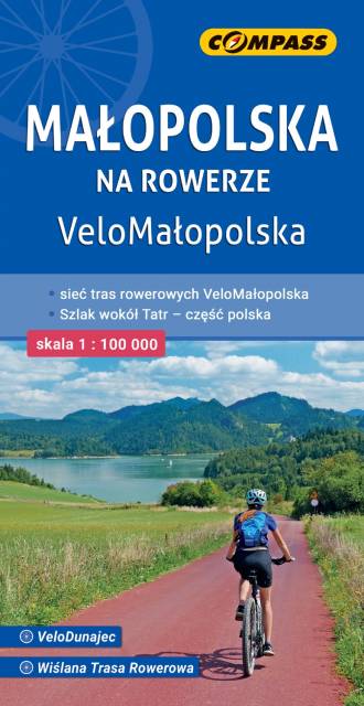
Małopolska na rowerze
Mapa przedstawia sieć zrealizowanych do tej pory (VII 2020) tras rowerowych:
- z projektu VeloMałopolska;
- Szlak wokół Tatr (część polska);
- inne szlaki rowerowe (lokalne terenowe, szlak Orlich Gniazd, Green Velo, Szlak karpacki).
Wiślana Trasa Rowerowa, VeloDunajec, VeloNatura oraz VeloMetropolis są w znacznej części gotowe. Pozostałe trasy: VeloRaba, VeloPrądnik i VeloRudawa są na etapie planowania lub budowy. Przebieg każdej ze wspomnianych tras został na mapie wyeksponowany i oznaczony odpowiednią tabliczką. Dodatkowo trasy zostały podzielone ze względu na rodzaj nawierzchni.
Tym sposobem rozróżniono:
- drogi asfaltowe dla rowerów, odseparowane od ruchu samochodowego;
- drogi szutrowe, ścieżki;
- drogi asfaltowe publiczne, przebieg w ruchu ogólnym (w większości są to odcinki o uspokojonym lub niewielkim ruchu samochodowym).
W przypadku, gdy przejazd danym odcinkiem jest niemożliwy (np. ze względu na budowę mostu) podano propozycje objazdów, a także łączenia tras. Oprócz klasycznej treści turystycznej na mapie zaznaczono także: miejsca obsługi rowerzystów (MOR-y), promy, miejsca z pracami budowlanymi, strome podjazdy i ostre zjazdy, miejsca niebezpieczne, drogi o zwiększonym natężeniu ruchu samochodowego. Jest również kilometraż prezentowanych tras. Poza trasami Velo Małopolska na mapie pokazano wszystkie szlaki rowerowe (głównie gminne, w znacznej części terenowe). Specjalna grafika pozwoliła na wyeksponowanie tras i szlaków rowerowych. "Małopolska na rowerze" to mapa/niezbędnik - obowiązkowe wyposażenie dla wszystkich rowerzystów o zacięciu turystycznym, szczególnie tych nastawionych na przejazdy długodystansowe na rowerach trekkingowych. Mapę offline można zakupić w aplikacji Traseo na urządzenia mobilne. Rok wydania 2024