


przemekprzemek
Charakterystyka trasy
2024-04-07
Polska, małopolskie, Myślenice

Długość trasy:
8.9 kmSuma przewyższeń:
572 mSuma spadków:
516 mŚredni czas potrzebny na pokonanie trasy:
3 h 10 minOcena trasy:
1.3/6Komentarze
NA TYCH TRASACH PRZYDA CI SIĘ MAPOPRZEWODNIK LUB MAPA Z NASZEJ APLIKACJI
MAPA TURYSTYCZNA W APLIKACJI TRASEO
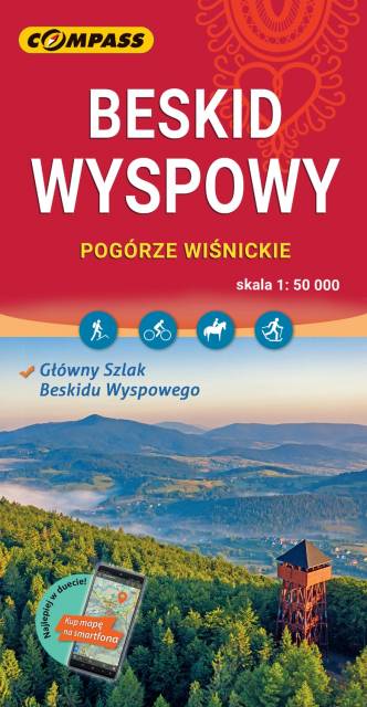
Island Beskids and Gorce Mountains
The map in detailed scale presents part of the Polish Carpathian Mountains, south from Krakow: Beskid Wyspowy (Island Beskid), Pogórze Wiśnickie (Wiśnicz Foothills), eastern part of Pogórze Wielickie (Wieliczka Foothills) and Gorce - one of the most popular and beautiful passes in Beskid.