


Charakterystyka trasy

Komentarze
NA TYCH TRASACH PRZYDA CI SIĘ MAPOPRZEWODNIK LUB MAPA Z NASZEJ APLIKACJI
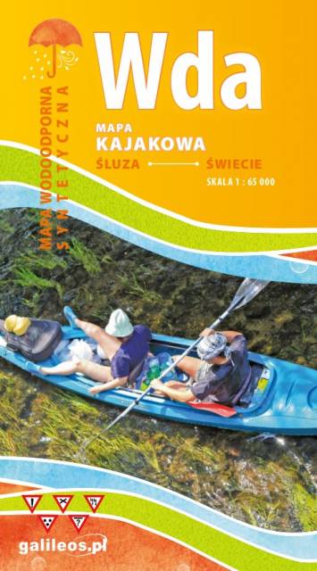
Mapa przedstawia szlak kajakowy rzeką Wdą od miejscowości Śluza do Klanin. Na mapie zaznaczono kilometraż rzeki oraz obiekty istotne dla kajakarza takie jak miejsca niebezpieczne, przeszkody na trasie spływu, pola biwakowe. Mapa jest zorientowana zgodnie z kierunkiem płynięcia.
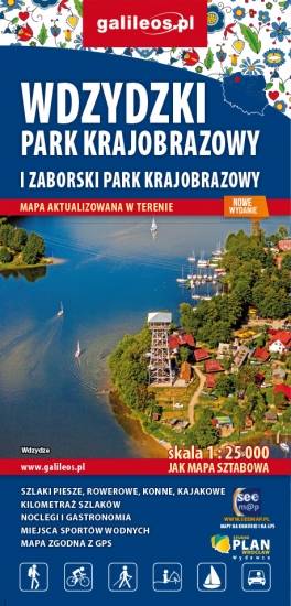
Wdydze Landscape Park and Zaborski Landscape Park are protected areas in northern Poland. They lie within the Pomeranian Voivodeship, in the Kashubia region. Tourist attractions, cycling, canoeing, horse and walking trails are marked on the map, as well as accomodation and food facilities.
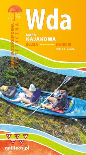
Mapa przedstawia szlak kajakowy rzeką Wdą od miejscowości Klanin do Świecia. Na mapie zaznaczono kilometraż rzeki oraz obiekty istotne dla kajakarza takie jak miejsca niebezpieczne, przeszkody na trasie spływu, pola biwakowe. Mapa jest zorientowana zgodnie z kierunkiem płynięcia.
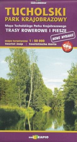
Tuchola Landscape Park is a protected area in north-central Poland, covering an area of 369.83 square kilometres in the Tuchola Forests close to the town of Tuchola. The Park is shared between two voivodeships: Kuyavian-Pomeranian Voivodeship and Pomeranian Voivodeship. Within the Landscape Park are eight nature reserves. The Park (together with the Wda, Wdzydze and Zaborski Landscape Parks) forms the buffer zone of the Tuchola Forest Biosphere Reserve, designated under the UNESCO Man and the Biosphere Programme in 2010.
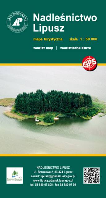
The map presents part of Kaszuby region in the north Poland, in Pomerania Voivodeship. Walking, cycling, nordic walking and canoeing trails are marked on the map, as well as tourist attractions and lot of interesting information - like Polish-German border from 1939. The map range: Gowdlino village to the north, Kościerzyna to the east, Brusy to the south and Bytów to the west.
Update: 2017
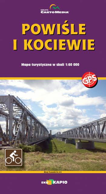
The map of Kociewie and Powiśle in the western part covers the area enclosed by Skarszewo in the west, Kwidzyn in the south, Malbork in the east and Tczew in the north. The map provides a detailed depiction of the area, including trails and tourist attractions. On the map of Powiśle and Kociewie you will find, among others, the Powiśle Castle Route, the Grzymisław Route, EuroVelo 9 and the Kopernikowski Route.
Kociewie is an ethnographic and cultural region in Gdańsk Pomerania, located on the left bank of the Vistula River in the Wda and Wierzyca river basins, covering the eastern part of the Tuchola Forest. Approximately Kociewie is located in the area of the present Starogardzki, Tczewski and northern part of Świecki counties, inhabited by approximately 350,000 people. Some of the region's inhabitants speak a Kocievian dialect.