


Charakterystyka trasy

Komentarze
NA TYCH TRASACH PRZYDA CI SIĘ MAPOPRZEWODNIK LUB MAPA Z NASZEJ APLIKACJI
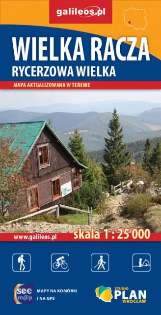
Szczegółowa mapa turystyczna z uwzględnieniem atrakcji, zabytków, noclegów, gastronomii oraz innych miejsc przydatnych turyście. Zawiera wszystkie znakowane szlaki turystyczne piesze, rowerowe, ścieżki dydaktyczne wraz z kilometrażem. Obejmuje swym zasięgiem wycieczki ze Zwardonia i Rycerki Dolnej a również ośrodek narciarski Veľká Rača po stronie słowackiej.
Rok wydania: 2018
Mapa prezentuje region Magury Orawskiej na Słowacji, sięgający na północy do granicy z Polską. w tym miasta Namiestowo, Twardoszyn i okolice Jeziora Orawskiego. Na południe mapa sięga do linii miejscowości Podbiel, na zachód - kilkanaście kilometrów za Oravską Leśną.
Rok aktualizacji: 2016/2017
Mapa prezentuje fragment północno-zachodniej Słowacji na pograniczu z Czechami i z Polską. Beskid Kysucki to pasmo górskie w regionie Kysuce. Wraz z Beskidem Orawskim tworzą pasmo Beskidów Słowackich, są najwyższą częścią Gór Kisuckich, choć czasem spotyka się opinie, że osobnym rejonem górskim. Beskid Kysucki ciągnie się od przełęczy Zwardońskiej do granicy z Orawą na przełęczy Przysłop. Najwyższym szczytem pasma jest Wielka Racza (Veľká Rača). Na terenie gór znajduje się kilka rezerwatów przyrody, w tym wokół Wielkiej Raczy, a niemal całość pasma zajmuje obszar chronionego krajobrazu.
Rok aktualizacji: 2016/2017
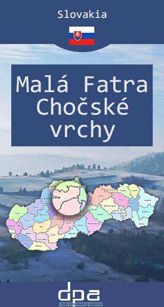
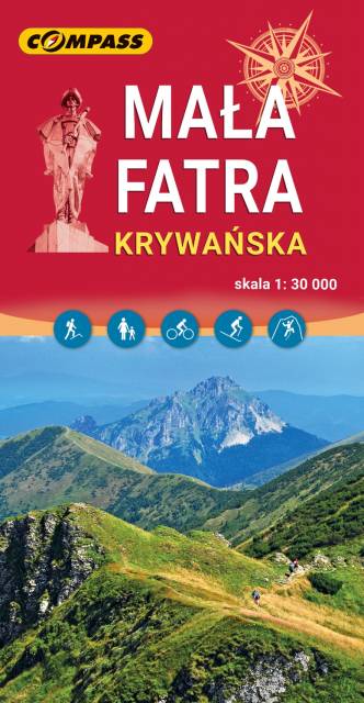
Mapa prezentuje jedno z najczęściej odwiedzanych na Słowacji pasm górskich - Małą Fatrę, często nazywaną Tatrami w miniaturze. Masyw nie jest jednak zatłoczony przez turystów tak bardzo jak Tatry. Głównym miejscem wypadowym w Krywańską Fatrę jest miejscowość Terchová z bogatą bazą noclegową (hotele, domy wycieczkowe, prywatne kwatery, duży autokemping). Z Terchovej można samochodem dojechać na parkingi w głębi Vrátnej doliny, skąd zaczynają się liczne szlaki turystyczne i jest dolna stacja kolejki gondolowej Vrátna – Chleb. Łączna długość wyznakowanych szlaków turystycznych w masywie wynosi ok. 150 km. Podejścia na najwyższe szczyty Małej Fatry mogą być żmudne, gdyż różnica wysokości dochodzi czasami do 1300 m. W wyższe partie można dostać się również kolejką gondolową z Vrátnej, która wywozi turystów prawie na samą główną grań. Granią tą prowadzi czerwony, bardzo widokowy szlak turystyczny. Rejon Małej Fatry jest też jednym z najlepiej zagospodarowanych obszarów na Słowacji dla amatorów narciarstwa zjazdowego. Mapa prezentuje ponadto położone na wschód od Fatry Góry Choczańskie, których najwyższy szczyt - Wielki Chocz (1608 m) - słynie z malowniczej panoramy na większość gór Słowacji, w tym zwłaszcza na Tatry, Niżne Tatry oraz Wielką i Małą Fatrę. Data wydania: 2016 / 217.
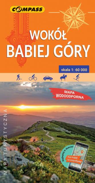
Mapa prezentuje okolice Babiej Góry, zarówno po stronie polskiej, jak i słowackiej. Zasięg mapy wyznaczają: Sucha Beskidzka i Zembrzyce na północy, Tvrdosin (Twardoszyn) na południu, Jeleśnia na zachodzie, Jordanów i Czarny Dunajec na wschodzie. Babia Góra (1 725 m n.p.m.) od wieków przyciągała uwagę podróżników i badaczy, fascynowała pisarzy i poetów. Mówiło się, że na jej szczycie, nie bez powodu zwanym Diablakiem, miały swoją siedzibę złe moce. Prawdziwą osobliwością i niezwykłym przeżyciem dla turystów jest rozległa panorama z niepowtarzalnym widokiem na Tatry oraz wschód słońca podziwiany ze szczytu. U północnych podnóży Babiej Góry rozciąga się największa pod względem powierzchni wieś w Polsce – Zawoja. Jest to atrakcyjna miejscowość wypoczynkowa oraz idealna baza wypadowa w Pasmo Babiogórskie. Okolice Babiej Góry, zarówno po stronie polskiej jak i słowackiej, to atrakcyjne tereny na piesze i rowerowe wycieczki.
Na mapie zastosowano cieniowanie w celu uzyskania wrażenia plastyczności rzeźby terenu. Całość uzupełniają fotografie.Mapę offline można zakupić w aplikacji Traseo na urządzenia mobilne. Rok wydania 2022