tranquesttranquest
Charakterystyka trasy
2011-05-10
Polska, wielkopolskie, Poznań

Długość trasy:
196 kmSuma przewyższeń:
314 mSuma spadków:
256 mOcena trasy:
1.0/6Komentarze
NA TYCH TRASACH PRZYDA CI SIĘ MAPOPRZEWODNIK LUB MAPA Z NASZEJ APLIKACJI


MAPA TURYSTYCZNA W APLIKACJI TRASEO
Pojezierze Drawskie
Opracowanie kartograficzne obejmuje obszar Pojezierza Drawskiego. Mapa zamknięta jest na wschodzie przez Jezioro Dołgie, na zachodzie zaś przez Łobez. Zaznaczono tu informacje przydatne turyście, podano aktualne przebiegi szlaków pieszych, rowerowych, Nordic Walking i konnych, łącznie z kilometrażem, co pozwoli łatwiej zaplanować wycieczkę.
MAPA TURYSTYCZNA W APLIKACJI TRASEO
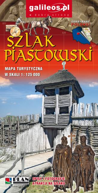
Szlak Piastowski
Mapa turystyczna Szlaku Piastowskiego, który przebiega przez województwa: wielkopolskie i kujawsko-pomorskie. Mapa została zaktualizowana w terenie, zostały na niej uwzględnione wszelkie niezbędne informacje turystyczno-krajoznawcze oraz informacje praktyczne. Rok Wydania 2017