category-icon

Tour de Kick

837 km
1230 m
1282 m
Polska, mazowieckie, Warszawa
no photo

Charakterystyka trasy

2024-02-25
Polska, mazowieckie, Warszawa
category-icon
Długość trasy:
837 km
Suma przewyższeń:
1230 m
Suma spadków:
1282 m
Ocena trasy:
1.1/6
Tour de Kick

Komentarze

NA TYCH TRASACH PRZYDA CI SIĘ MAPOPRZEWODNIK LUB MAPA Z NASZEJ APLIKACJI
Łódź Hills Landscape Park
MAPA TURYSTYCZNA W APLIKACJI TRASEO
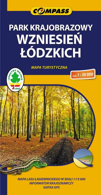
Łódź Hills Landscape Park
Łódź Hills Landscape Park is a protected area in central Poland, established in 1996, covering an area of 137.67 square kilometres (53.15 sq mi). The Park lies within Łódź Voivodeship: in Brzeziny County (Gmina Brzeziny, Gmina Dmosin), Łódź East County (Gmina Nowosolna) and Zgierz County (Gmina Stryków, Gmina Zgierz). Within the Landscape Park are three nature reserves.
Gmina Iłowa - mapa historyczna
MAPA TURYSTYCZNA W APLIKACJI TRASEO
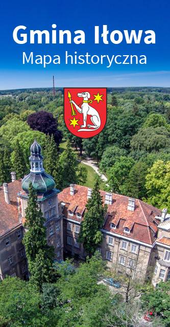
Gmina Iłowa - mapa historyczna

Mapa historyczna Gminy Iłowa.

Brda - cz. południowa
MAPA TURYSTYCZNA W APLIKACJI TRASEO
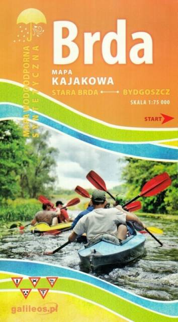
Brda - cz. południowa

Mapa Brda przedstawia szlak kajakowy rzeką Brdą, od Tucholi do Bydgoszczy. Na mapie zaznaczono kilometraż rzeki oraz obiekty istotne dla kajakarza takie jak miejsca niebezpieczne, przeszkody na trasie spływu, pola biwakowe.

Mapa jest zorientowana zgodnie z kierunkiem płynięcia.
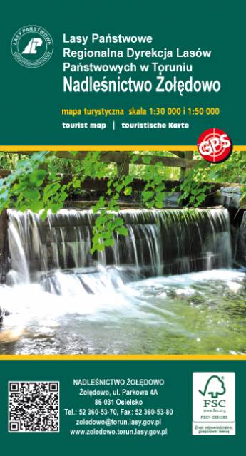
Żołędowo Forests
MAPA TURYSTYCZNA W APLIKACJI TRASEO
Żołędowo Forests
Map presents northern part of Bydgoszcz region. Map range: Świekatów to the north, Bydgoszcz Aeroport to the south, Nakło nad Notecią to the west and Dąbrowa Chełmińska to the east.
Poznań Region. Northern Part
MAPA TURYSTYCZNA W APLIKACJI TRASEO
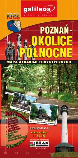
Poznań Region. Northern Part

The map presents part of the Greater Poland Voivodeship in west-central Poland, south from Poznań. It covers such areas as the Puszcza Zielonka Landscape Park and the Promno Landscape Park. Tourist attractions, cycling and walking trails are marked on the map, as well as other information useful for tourists.
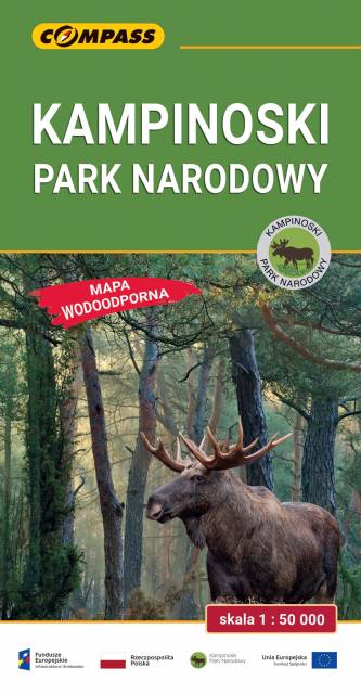
Kampinos National Park
MAPA TURYSTYCZNA W APLIKACJI TRASEO
Kampinos National Park

The Kampinos National Park is situated in east-central Poland, in the Masovian Voivodeship, on the north-western outskirts of Warsaw. It covers the ancient Kampinos Forest. In January 2000 the area was added to UNESCO’s list of biosphere reserves. On the map walking, cycling, skiing and horse trails are marked, e.g. Kampinos Cycling Trail whose total length is around 200 km.