category-icon

Toruń-Górsk-Cegielnik-Barbarka

21 km
1 h 16 min
20 m
0 m
Toruń i okolice
Zdjęcie 1
Zdjęcie 2
Polecamy

Charakterystyka trasy

2017-01-07
Toruń i okolice
category-icon
Długość trasy:
21 km
Suma przewyższeń:
20 m
Suma spadków:
0 m
Średni czas potrzebny na pokonanie trasy:
1 h 16 min
Ocena trasy:
6/6
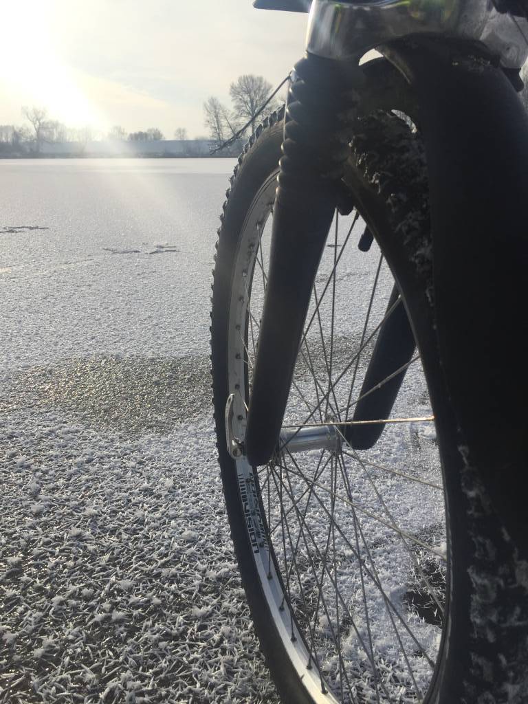
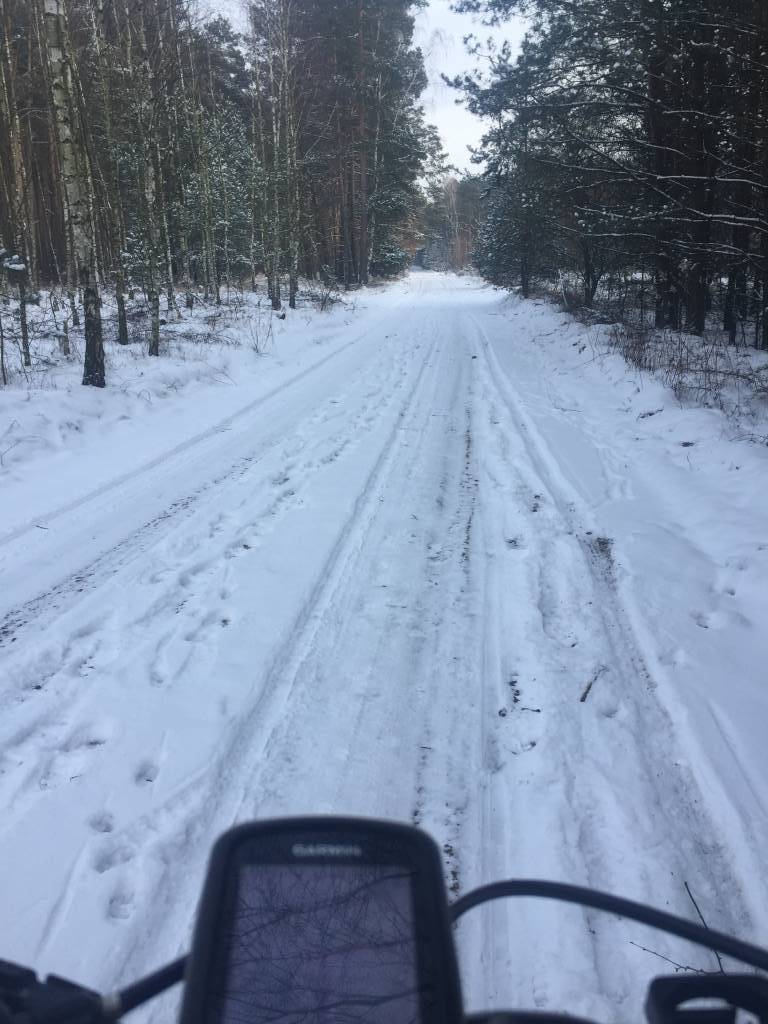
Bardzo przyjemna trasa z krótkim postojem nad jeziorem w Górsku. Zdecydowanie na rower górski lub MTB. Mimo zimowej aury bezproblemowy przejazd całości. Wymarzona trasa na letni wypad ze względu z zacienione miejsca w drugiej części trasy.

Komentarze

NA TYCH TRASACH PRZYDA CI SIĘ MAPOPRZEWODNIK LUB MAPA Z NASZEJ APLIKACJI
Ziemia Chelmińska - Gothic Land
MAPA TURYSTYCZNA W APLIKACJI TRASEO
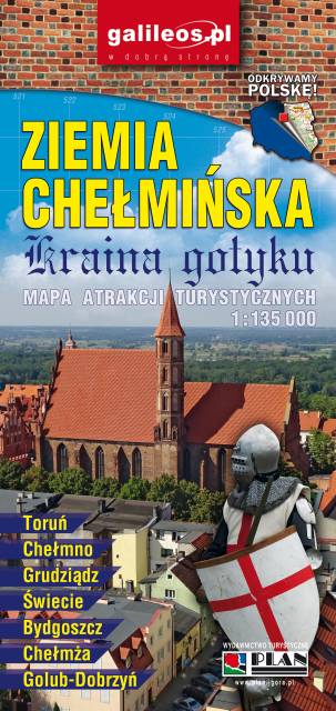
Ziemia Chelmińska - Gothic Land

An updated map of Ziemia Chełmińska. The most important tourist attractions of the region are marked on the map as icons. The map covers Chełmno, Toruń, Chełmża, Świecie, Grudziądz, Golub-Dobrzyń and Bydgoszcz. Year of publication 2017

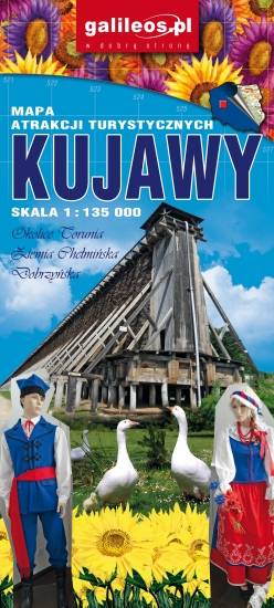
Kujawy
MAPA TURYSTYCZNA W APLIKACJI TRASEO
Kujawy

Kujawy is a historical region in north-central Poland, situated on the left bank of Vistula, east from Noteć River and Lake Gopło. The region is characterized by a rich tradition of folklore. The map is dedicated mainly for tourists with cars. Most interesting places are presented with coloured graphic symbols.

Miejscowości na trasie