Bartąg (0.0 km) – Lake Łańskie (west shore) – Ząbie (20.9 km) – Kurki (22.1 km) – Brzeźno Łyńskie (25.3 km) – Napiwoda (37.1 km) – (6.5 km connecting section) – Łyna (43.6 km) – Łyna River Source Nature Reserve (47.5 km) – Łyński Młyn (48.9 km) – Orłowo (51.1 km) – Likusy (56.0 km) – Brzeźno Łyńskie (59.7 km) – Kurki (63.0 km) – Lake Łańskie – eastern shore (73.1 km near the Cyranka resort) – Ruś (83.4 km) – Bartążek (86.1 km) – Olsztyn (92.5 km)
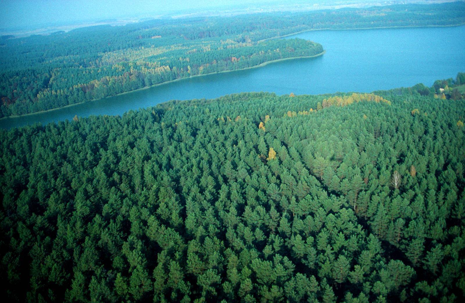
A long route, over 90 km in length, connecting the Gościniec Niborski and the southern section of the Łynostrada, with a connecting section between them. It passes through the ecologically valuable areas of the Napiwodzko-Ramucka Primeval Forest, one of the largest forest complexes in Poland, which is entirely protected as a Natura 2000 Special Protection Area for birds. Due to its length and the long stretches through uninhabited areas, this route is recommended for people in good physical condition. It can be divided into two smaller loops.
We begin the trip at the Church of St. John the Evangelist in Bartąg. We ride south along a winding paved road. At the fork, we take the left branch. We pass the road leading to Gągławki and head toward the bridge over the Łyna River on the Olsztyn bypass, visible from a distance. We ride under the bridge and, just past it, turn right uphill. The asphalt ends after a few hundred meters. After another few hundred meters on a gravel road, we enter the forest. The surface is potholed and sandy in places. After about 1 km, we emerge into a small clearing. At the end of the clearing, we turn right onto an unpaved and not very wide road running along the edge of the forest. After riding about 500 m, we turn left through a gate in the forest fence onto a narrow road that’s hard to spot but well-marked.
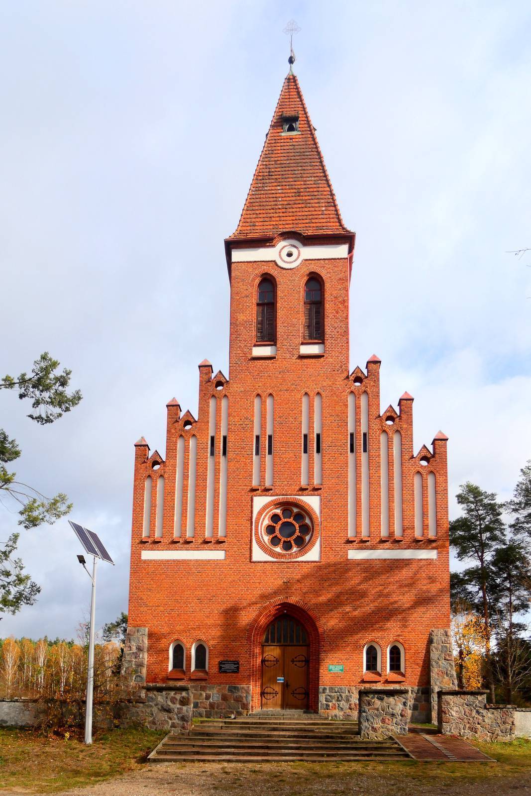
We head south without turning onto any side roads. After about 1 km, we reach a larger road and turn slightly to the left. After another 1 km or so, at the fork, we take the left, smaller road. We pass the entrance to a forest road on the left, and a little further on, we cross the paved road connecting Stawiguda and Gągławki with Łańsk and the Olsztyn–Zgniłocha highway. On both sides of the intersection, the forest road we’re traveling on is blocked off by barriers. After one kilometer, on the left, we see the beautiful Dłużek ribbon lake, completely surrounded by forest. The narrow ribbon of the lake runs alongside us for about 1 km. In several places, you can walk down to its shore and admire the wild panorama. Beyond the lake, we go straight through an intersection of forest roads. Further along, the road turns into poor-quality asphalt, which—with minor interruptions, sometimes covered in leaves or mud—leads us south for many kilometers. We pass the turnoff to the Pluszne forester’s lodge, a forest parking lot, and an intersection with a larger road. One kilometer to the left lies Rybaki on Lake Łańskie, where there is a swimming area. The second turnoff, onto a gravel road to the right, leads to Orzechowo. In a deserted village located about 1 km from the trail stands the Neo-Gothic Church of St. John the Baptist, which is worth seeing; there is also a cemetery and a wayside shrine. At a bend in the road stands a slender boulder 2 m high—this is how crossroads were once marked in Masuria.
Continuing on, we pass a parking lot, where we head straight through the intersection. From there, we ride along a gravel road that has asphalt sections in places. We pass an old wooden roadside cross. As we exit the forest, at the fork we take the wider road to the right, then continue straight through the intersection. Concrete slabs appear on the road surface. We pass through the village of Ząbie and, after a few hundred meters, reach National Road DK58 (Olsztynek–Szczytno). Turn left onto it, cross the bridge over the Łyna River near where the Marózka River flows into it, and arrive in Kurek, where you’ll find the first store along the route. From here, you can continue along the main road or return to Olsztyn via the Łynostrada. Both routes intersect here. The return route is described below.
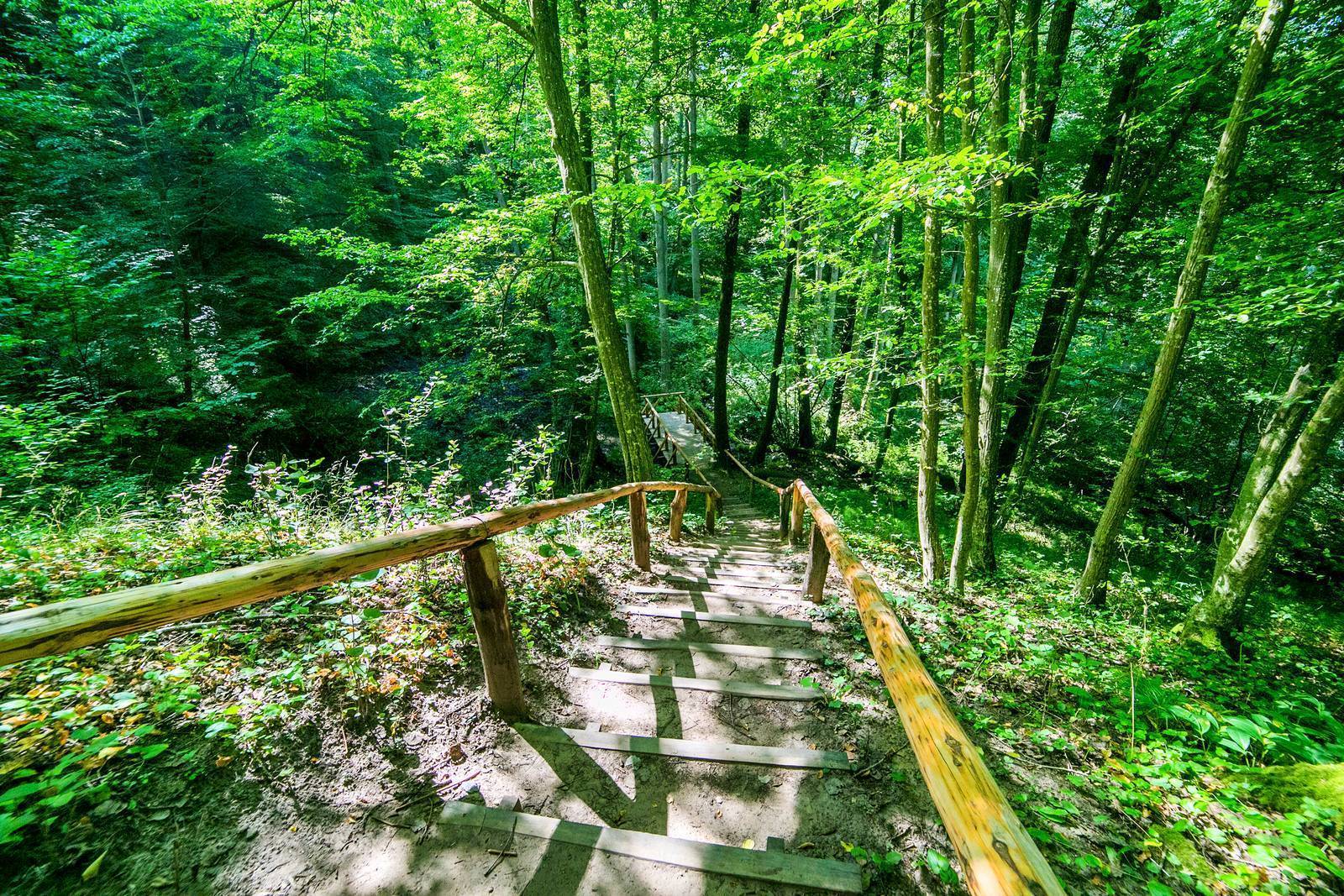
Continuing along the main road, turn right off the paved road onto a gravel road. Past the village, near the forest, at a fork we take the left branch. We climb a hill, and at the next fork we go straight ahead onto the right branch. The gravel road isn’t in the best condition—there’s sand and ruts, and occasional potholes. We ride south through the forest. We pass intersections with forest roads. Trail signs are posted frequently, so it’s easy to stay on course. We pass a right turn-off toward Brzeźno Łyńskie. A little further on, at the second intersection—marked with a sign pointing left toward Brzeźno—we continue straight ahead. After 3 km, we ride straight through the intersection with an asphalt road marked with signs pointing right toward Orłowo. Shortly past the intersection, on an uphill stretch and a left-hand curve, a well-preserved cobblestone road appears for several hundred meters. About 1 km past the cobblestone section, at a left-hand curve in the road, the trail turns right onto an inconspicuous dirt road. Follow it for about 1 km until you reach a gravel road, where you turn right. It’s easy to miss the turn onto the dirt road. If you do miss it, turn right at the first intersection of gravel forest roads; the trail follows this road. A little further on, we reach a larger gravel road and turn left onto it. We continue straight ahead, without turning at the intersections with other forest roads. We cross an asphalt road and continue along a wide gravel road. After about 15 km through the forest, counting from Kurek, we emerge into open fields and, after a few hundred meters, reach the paved road in Napiwoda. We turn left onto it and soon reach the endpoint of the Niborski Trail.
The Gościniec ends here, but we can continue on and return to Olsztyn via an equally picturesque and wild route. To do this, turn around, pass the exit from the Gościniec onto the paved road, and continue northeast. The road curves toward Radomin, where we turn onto a minor road heading toward the village of Łyna. In Łyna, we decide whether to continue on the paved road to the train station in Dobrzyń—from where we can take a train to Olsztyn or Nidzica—or to return via the Łynostrada. To reach the station, turn left at the fork and follow a very picturesque, tree-lined road running through the fields, which takes you straight to the station. The distance from Napiwoda to Łyna is 6.5 km, and another 1.7 km to the train station.
Starting on the Łynostrada from the station in Dobrzyń, we ride along an asphalt road to the Łyna River, near which lies the very interesting “Sources of the Łyna River” nature reserve. You can explore it on foot, leaving your bike at Łyński Młyn. From the village of Łyna, you reach the reserve by turning left at the fork toward the parking lot, and from there, taking the cobblestone road to the right toward Łyński Młyn. You can also ride along a narrow path leading through the reserve to the old mill, but this is quite difficult due to fallen tree trunks that block the path in places. The path begins at the fork in the roads in Łyna and is marked with signs for the green hiking trail, which will accompany us for almost the entire return journey. Its signs appear much more frequently than those for the bike trail. From Łyński Młyn, we head east toward Orłowo. The cobblestone road gives way to a gravel road. To the left below, we pass a marshy river valley; to the right, a wooded hill. We enter the forest and follow it until we reach an asphalt road, where we turn left toward Orłowo.
Past the cemetery, we turn left; the signposts point toward Likusy, Brzeźno Łyńskie, and Lipowo Kurkowskie. Beyond the village, we ride on a gravel road; after the last building at the fork, we take the right, wider road; a little further on there is another fork, but both branches of the road converge after a few hundred meters. On the right side of the road, in the forest, lie two lakes: Orłowo Wielkie and Orłowo Małe; the latter is a wildlife nature reserve.
After a few kilometers on a well-marked but occasionally sandy gravel road, we enter Likus, where old cobblestones peek out from beneath the gravel. Past the sign marking the end of the village, we turn right at the fork. Shortly thereafter, the road splits into two parallel branches and rejoins after about 300 m. At the sign for Brzeźno Łyńskie, we turn left toward it. About 3.5 km past Likus, a road joins from the right, along which the red bicycle trail runs. At the next intersection, we turn left, following the signpost for Brzeźno Łyńskie. At the first buildings of the village, we turn right. First, we ride along the edge of the forest, then we enter it. The road is narrower, sandy in places, with a ridge down the middle. This brings us to a vacation resort between Lakes Kiernoz Mały and Kiernoz Wielki. The road’s condition improves slightly, and it dives back into the forest, reaching the lake’s shore on the left after about 1 km. We cover a short stretch through the forest and reach a wider gravel road, where we turn left and enter Kurek. After a few hundred meters, we reach the paved road leading from Olsztynek to Szczytno. We can shop again at the same store.
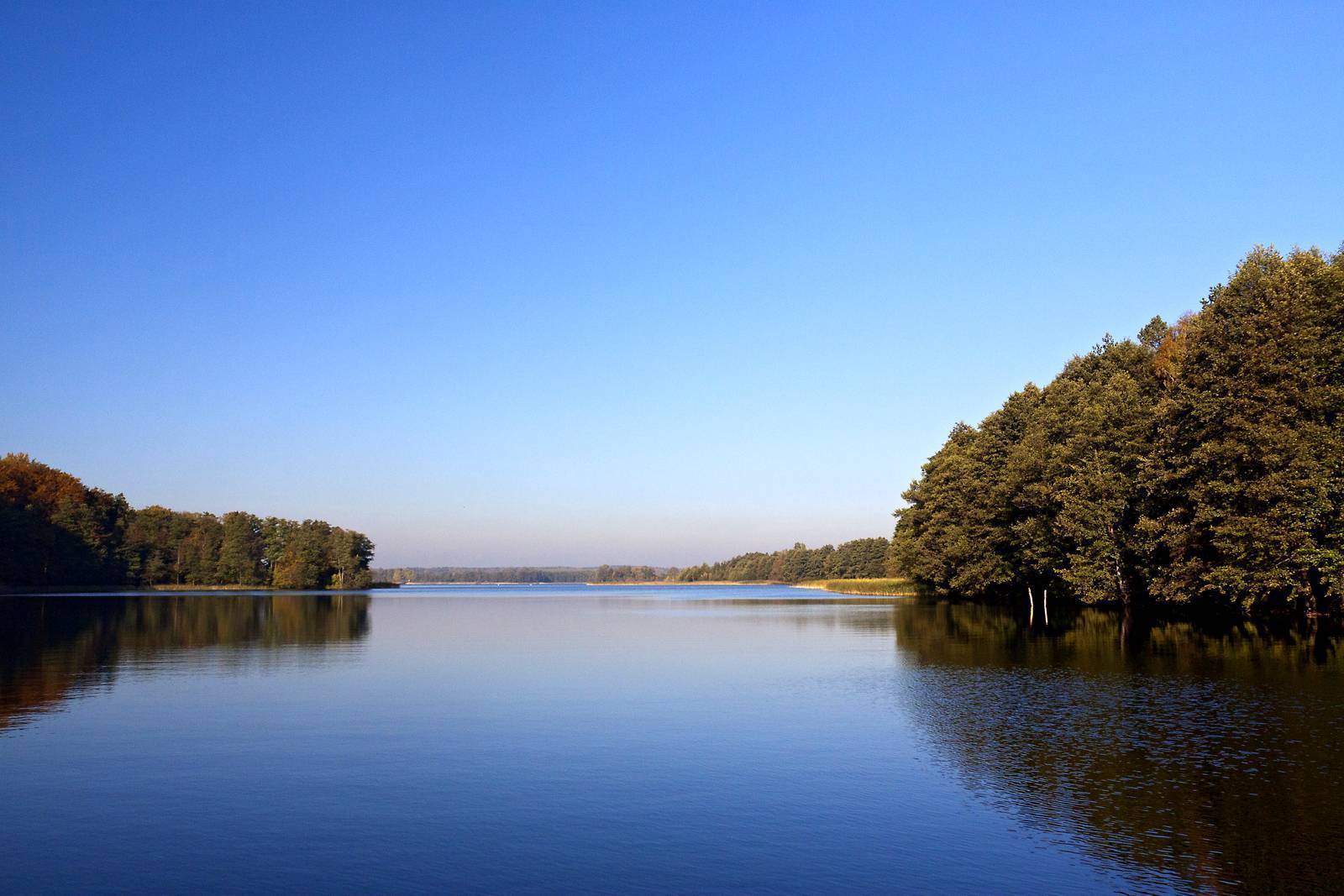
The return route leads from Kurek to the right toward Szczytno. After about 1 km, at the edge of the forest, turn left onto a gravel road and take the left of the two branches. On our left is the open valley of the Łyna River. After about 1 km, the river flows into Lake Łańskie. The route runs through the forest near its shores. The surface turns to cobblestone; at the fork in the road, we take the left fork. We can sometimes catch glimpses of the wild and secluded lake through the trees. After 1 km, the road becomes gravel again. At the next fork, we turn onto the left path. We follow the green hiking trail, proceeding straight through several intersections of forest roads. We arrive at the Las Warmiński Nature Reserve. The road becomes paved. We enter the boundaries of the so-called “Łańskie Imperium”—the grounds belonging to the legendary government resort from the times of the Polish People’s Republic, where prominent figures used to relax and hunt in complete isolation from the outside world. We pass the left turn-off to the Lalka Peninsula.
After 1.5 km, the hiking trail turns right onto a forest road, but we continue straight ahead. At the fork, we turn left (the right turn is prohibited). A little further on, the green trail rejoins our route on the right, only to turn left again after 1 km. We continue straight ahead and, at the intersection with a wider paved road, turn left. The green trail joins us from the left. The old, mixed-species forest on both sides of the road and the lake visible on the left create a truly fairy-tale-like setting here. At the intersection, we turn left onto the paved road, following the trail signs. After a fairly long descent, we cross a small bridge over the Łyna River at the point where it flows out of Lake Ustrych. We pass information signs about the nature reserve and the Ostoja Napiwodzko-Ramucka Natura 2000 site. A few hundred meters further on, at a fork in the road, we turn left onto a gravel road, which is covered with sand in places.
After about 2.5 km, we turn right, following the signs for the Łynostrada and the green hiking trail, which accompanies us for long stretches. After a few hundred meters, we come to a paved section, followed by an unpaved dirt road. We pass a gate, beyond which we continue straight ahead and, near a forest parking lot, exit the forest in the village of Ruś. We ride downhill along a road with a varied, mostly cobblestone surface until we reach an asphalt road, where we turn left. From here, we can take this winding road back about 3 km to the church in Bartąg or continue on to Olsztyn.
If you choose the latter option, after a few hundred meters, turn right onto a gravel road toward Bartążek. You’ll ride first past buildings, then through fields and meadows, following the green hiking trail, across the bridge over the Łyna River. The next section is beautifully lined with old trees. At the fork, turn left onto a dirt road. Vast fields stretch out on both sides. You’ll reach the bypass and cross over it via an overpass. After the overpass, turn left, and a little further on, at the fork, turn right onto a poorly maintained dirt road. We arrive in Bartążek. At the fork in Bartążek, we turn right onto Warmiński Las Street, and after passing through the village, where the street turns right, we turn left off it and follow a dirt road along Lake Bartąg. We pass two wild beaches and enter the walking and biking path running along the lake, then continue straight onto Grabowa Street in the residential area. Next, we turn right onto Doranta Street and follow it to Płoskiego Street. We turn left onto it and ride a few hundred meters along the bike path. We turn left onto Andersa Street, which takes us to Olszewskiego Street; we turn left onto it and then turn left again onto Wawrzyczka Street, which becomes Szostkiewicza Street. We follow it to the bridge over the Łyna River along Kalinowskiego Street. The route ends here.
It’s a good idea to bring a map on your trip, especially if you plan to modify or shorten the route; part of the route (the Gościniec Niborski trail: Bartąg–Napiwoda) is marked in red, and part (the Łynostrada Trail: Dobrzyń–Olsztyn) is marked in green, and the connecting section has no markings.
Olsztyn has convenient train connections to many cities in Poland. However, to reach Bartąg, located just outside Olsztyn, you must travel by car (there is a parking lot behind the church) or by city bus lines 126 or 136 (bicycle transport is free). The Dobrzyń train station, which marks the start of the return route, is located on the Olsztyn–Nidzica railway line.