Polska, warmińsko-mazurskie, Węgorzewo, powiat węgorzewski
Długość trasy:
5.0 km
Suma przewyższeń:
122 m
Suma spadków:
124 m
Ocena trasy:
3.5/6
Węgorzewo, Wodociągowa Street (0.0 km) · MTB sections 1, 2, 3, 4 · Leśna Street (5.5 km) · MTB sections (single tracks): Section No. 1 (1,200 m) · Section No. 2 (1,100 m) · Section No. 3 (1,700 m) · Section No. 4 (1,300 m)
The route mostly follows single tracks designed for MTBs, but requires caution. It was marked out in wooded and hilly terrain. While there aren’t many significant elevation changes, MTB riders can expect plenty of maneuvering between trees and through turns, with frequent encounters with rocks, exposed roots, and fallen tree trunks.
The idea to create MTB trails emerged in 2019 among mountain biking enthusiasts in Węgorzewo. The city government, the sports and recreation center, and the State Forests joined the initiative. The first section was completed in 2020.
The “Tłusty Węgorz” trail hosts the Fall MTB Cyclocross event. Participants include both children (in girls’ and boys’ categories) and adults (in open amateur and professional categories).
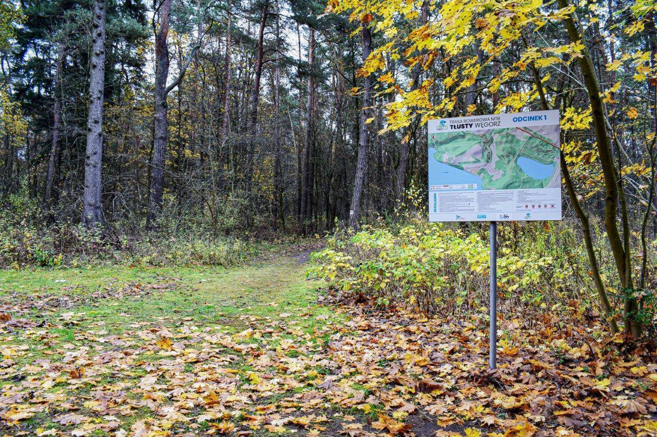
The route is marked out on the northern shore of Lake Święcajty, near the Piękny Brzeg resort, not far from the Jägerhöhe War Cemetery. The cemetery is situated on a hill—it is a well-known tourist attraction and a lookout point offering a beautiful panoramic view of the lake. Signposts lead to it. To reach the starting point from the direction of Węgorzewo, follow Wodociągowa Street. There, you can familiarize yourself with the route described on the “Tłusty Węgorz” information board.
The MTB route is divided into four sections that can be ridden in one go, as the end of one section is also the beginning of the next (with the exception of a short connecting section between the second and third sections).
Single track No. 1 is approximately 1,200 m long and has an elevation gain of about 10 m. It ends at a dirt road; please exercise caution before reaching it. A forest pet cemetery is located nearby.
Single track No. 2 is about 1,100 m long and has an elevation gain of about 35 m. It was laid out on the slope of a hill. It begins at the edge of the slope and runs about 300 m along its edge. Then the descent begins.
A connecting trail approximately 200 m long, marked along a dirt road, leads to the next section.
Single track No. 3 is the longest. It is approximately 1,700 m long with 25 m of elevation gain. It ends at Leśna Street.
Single track No. 4 is about 1,300 m long with a 10 m elevation gain. At the beginning, there are longer, straighter, and wider sections winding through the trees. The second part follows a path along the shore of a small pond.
The route can be ridden as a loop (approx. 7 km). To complete the loop, follow Leśna Street from the end of the last section to the Piękny Brzeg resort and continue along the path by the lake shore to Wodociągowa Street. This option involves riding through the resort grounds, which are not always accessible.
This is a technically demanding route, intended for MTBs and cross bikes. It is recommended to wear protective gear, helmets, gloves, and goggles. Due to the narrow path, it is recommended to follow the indicated direction of travel.
The single tracks are open to the public and free of charge; however, please review the rules before using them. Information signs are located at the start of each section.
The route is very well marked with a blue arrow and the “Fat Eel” symbol. In the fall, the route is prepared for riding by clearing away fallen leaves. The route crosses public roads twice, so please remain vigilant.
It is not possible to reach the trail directly by train, although there is still a railway line connecting Węgorzewo with Kętrzyn (34 km), on which tourist trains used to run during the summer season just a few years ago. The nearest train station is in Giżycko, about 25 km from Węgorzewo. The towns are connected by National Road 63. You can reach Węgorzewo by bus.
Unfortunately, there aren’t many parking spots at the start of the first section of the trail. It’s best to leave your car at the nearby Jägerhöhe War Cemetery.
Komentarze
NA TYCH TRASACH PRZYDA CI
SIĘ MAPOPRZEWODNIK LUB MAPA Z NASZEJ APLIKACJI
MAPA TURYSTYCZNA W APLIKACJI TRASEO
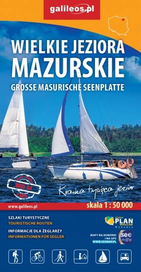
Wielkie Jeziora Mazurskie cz. PŁN
Przedstawia północną część krainy Wielkich Jezior Mazurskich. Zasięg mapy ograniczony jest miesjcowościami Węgorzewo na północy, jeziorem Gołdopiwo na wschodzie, Tałty na południu oraz Ryn i Kwiedzina na zachodzie. Mapa posiada informacje przydatne dla żeglarzy, zawiera szczegółowe informacje dotyczące przystani wraz z ich infrastrukturą, miejsca czarterów, oraz specjalne oznakowania na jeziorach a także ich batymetrię. Na mapie naniesiono również szlaki piesze, rowerowe, konne, kajakowe i ścieżki dydaktyczne, formy ochrony przyrody, bazę noclegową i gastronomiczną, najważniejsze atrakcje turystyczne.
MAPA TURYSTYCZNA W APLIKACJI TRASEO
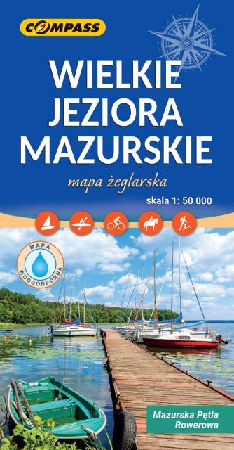
Wielkie Jeziora Mazurskie
Mapa Wielkie Jeziora Mazurskie przedstawia środkową część Pojezierza Mazurskiego, obszar zamknięty przez Węgorzewo na północy, Ruciane-Nida na południu, Orzysz na wschodzie i Mikołajki na zachodzie. Na mapie znajdują się szlaki piesze, rowerowe, kajakowe i żeglarskie, batymetria jezior oraz atrakcje turystyczne. Na mapie znajdują się największe jeziora mazurskie m.in. Śniardwy, Mamry, Niegocin, Orzysz. Rok wydania 2023 Mapa żeglarska, zawiera też naniesiony szlak rowerowy Mauzrska Pętla Rowerowa.
MAPA TURYSTYCZNA W APLIKACJI TRASEO
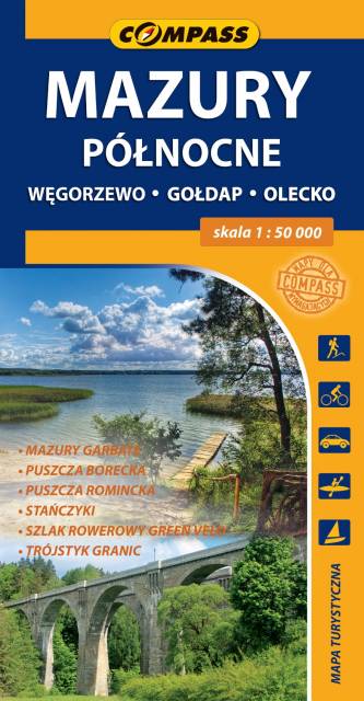
Mazury Północne
Mapa turystyczna "Mazury Północne" obejmuje przygraniczne tereny od Węgorzewa aż po trójstyk granic: Polski-Litwy-Rosji, a także fragment Mazur Garbatych sięgający poniżej Olecka. Zasięg mapy wyznaczają: granica polsko-rosyjska na północy, Węgorzewo na zachodzie, Kruklanki i Gąski na południu, Bakałarzewo na wschodzie. Obszar ten promowany jest jako Dzikie Mazury. Na mapie zaznaczono najbardziej znane atrakcje regionu: Puszczę Borecką, Puszczę Romincką z dokładną lokalizacją głazów cesarskich, Stańczyki ze słynnymi wiaduktami kolejowymi, gołdapskie uzdrowisko, piramidę w Rapie, lądowisko w Giżach oraz dziesiątki pamiątek i zabytków architektury, atrakcyjnych obiektów wodnych i przyrodniczych, punktów widokowych i jezior. Miłośnicy podróży na dwóch kółkach mogą zapoznać się z dokładnym przebiegiem prawie 100 km fragmentu najdłużej trasy rowerowej (wydzielony pas ruchu) w Polsce, tj. "Green Velo".
MAPA TURYSTYCZNA W APLIKACJI TRASEO
Warmia i Mazury – mapa atrakcji turystycznych
Mapa samochodowo-krajoznawcza, przedstawia obszar województwa warmińsko-mazurskiego. Zasięg mapy wyznaczają: granica polsko-rosyjska na północy, Elbląg na zachodzie, Ostrołęka na południu i Grajewo na wschodzie. Warmia i Mazury to region o niezwykłej różnorodności przyrodniczej, unikalnym ukształtowaniu terenu i dużym nagromadzeniem zabytków historycznych. Niniejsze wydawnictwo to ogólna mapa poglądowa rozległego obszaru, jakim są Warmia i Mazury. Dedykowana jest zwłaszcza turystom zmotoryzowanym. Przedstawiono na niej aktualną sieć dróg, wybraną bazę noclegową oraz propozycje najciekawszych atrakcji regionu. Wśród nich znajdują się: zamki, pałace, kościoły, muzea, zabytki techniki, obiekty militarne, cuda przyrody, wyróżniające się miejsca widokowe i panoramy. Mapę offline można zakupić w aplikacji Traseo na urządzenia mobilne. Rok wydania 2022