Forest parking lot near Osikowo (0.0 km) • Masurian Canal (2.2 km) • Viewpoint overlooking Lake Oświn (5.2 km) • Wyskok (6.5 km) • Bajory Wielkie (9.2 km) • Brzeźnica, Masurian Canal (13.4 km) • Kałki (14.9 km) • Skandławki (21.4 km) • Jegławki (24.5 km) • Wilczyny (28.1 km) • Forest parking lot near Osikowo (32.1 km)
The trail’s highlights include picturesque views, numerous lakes, and old, time-forgotten villages where the remains of former manor houses and pre-war brick farm buildings with red-tiled roofs have been preserved. However, the trail’s greatest asset is the beautiful natural scenery and the wild character of this area.
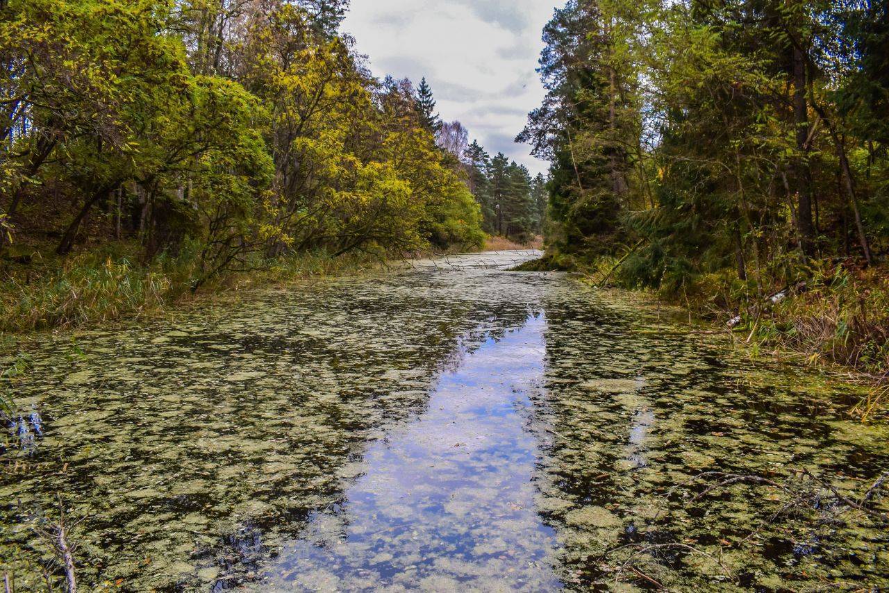
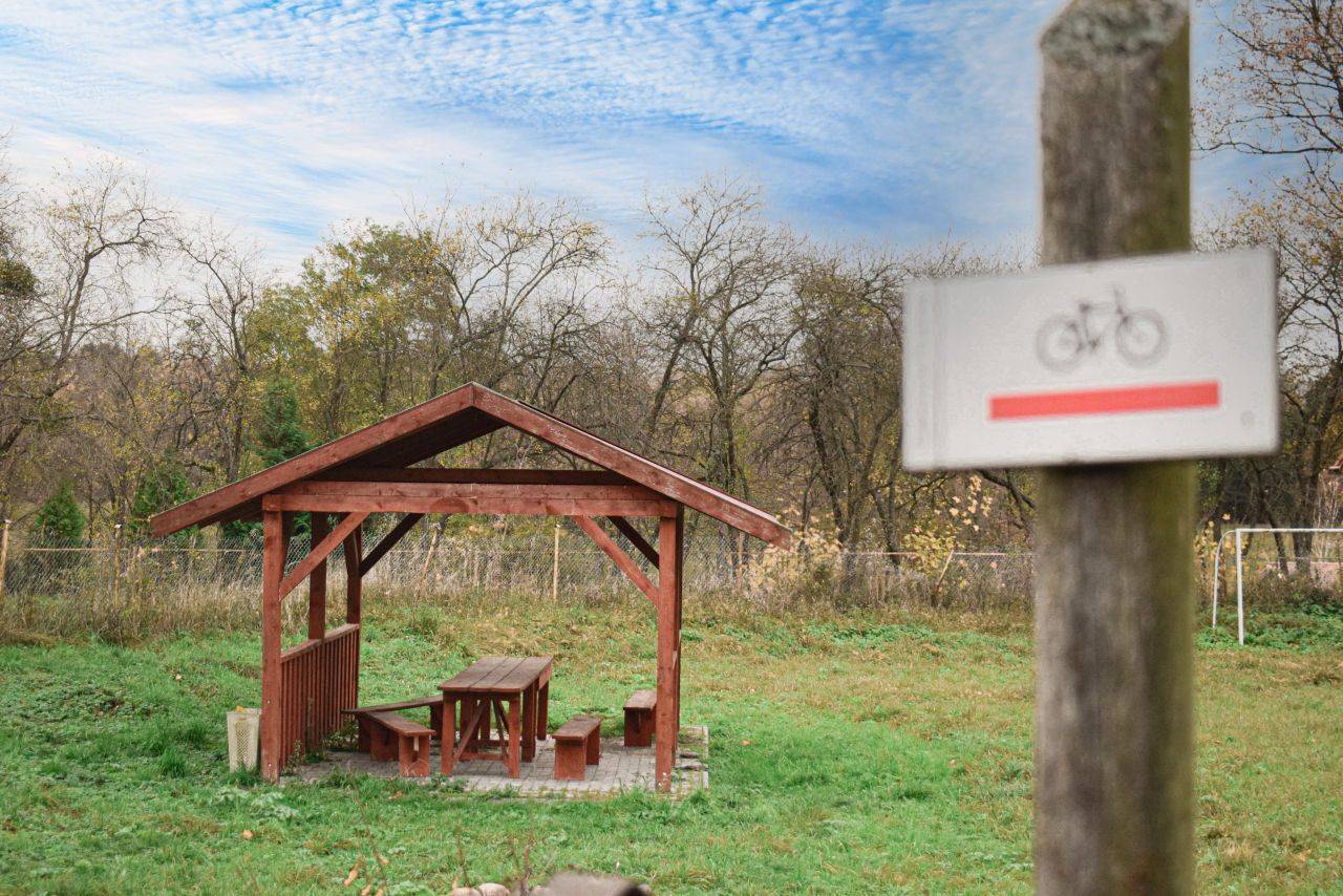
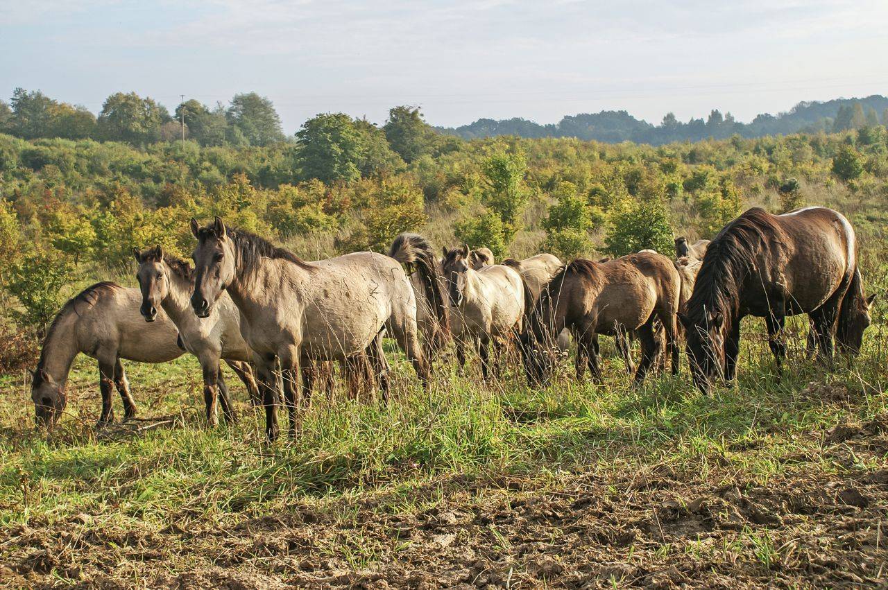
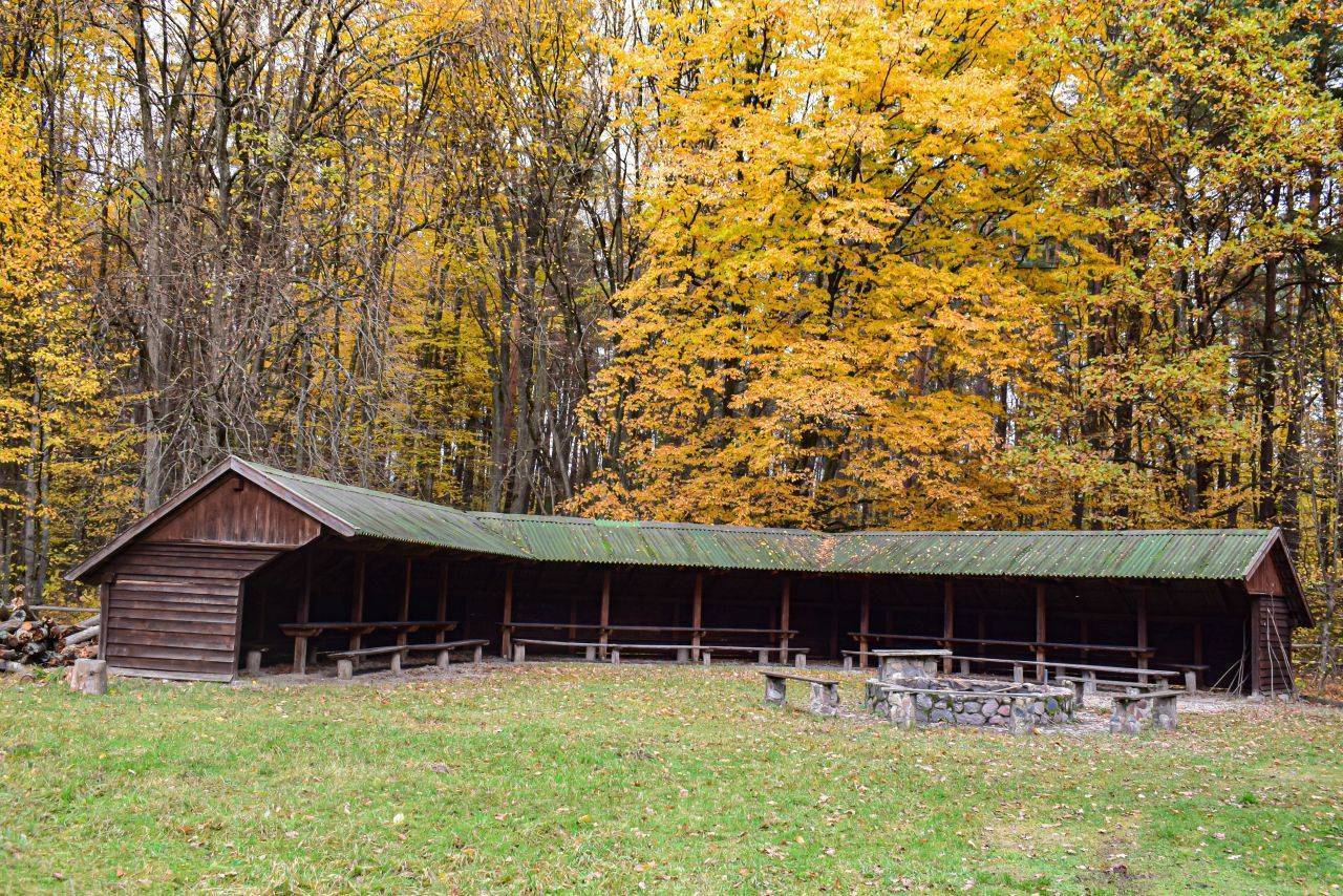
The trail begins at a large forest parking lot with shelters and a campfire site. Setting off from there along a gravel road, we pass several educational signs, including ones about the Teutonic Knights’ border ramparts and the Masurian Canal. We then cross the Masurian Canal via an old wooden bridge. Upon reaching the forest settlement of Marszałki, we ride straight for several dozen meters, then turn left toward Lake Oświn. From here, we can admire a beautiful panoramic view of the lake. There’s also a chance we’ll spot wild Polish konik horses here. In the village of Wyskok (about 1 km from the state border), we turn left. The terrain here is gently rolling. Further on, past the village of Bajorski Gaj, we turn right toward the village of Bajory Wielkie. Here, you can veer off the route to the left to see two unfinished locks on the Masurian Canal.
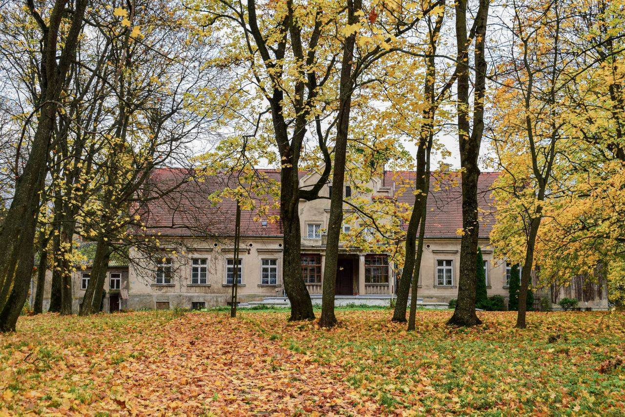
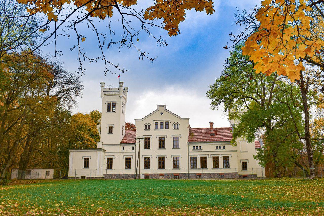
The next village on the route is Brzeźnica. There, we pass a manor house with a neglected park and continue along the paved road; crossing the bridge over the canal, we reach the village of Kałki. Here, you can see another manor house—this one beautifully restored. We drive around the manor complex on a gravel road and head straight south. We cross the paved road and ride through the forest to Skandławki. The trail continues to the left, while on the right you can see a historic—but, unfortunately, also neglected—manor house. The final section of the route follows a road paved with concrete interlocking pavers to Jegławki. The village and its palace are well-known from literature. They were described by Arno Surmiński, who was born here in 1934.
Pelicans in Masuria
In the 1970s, a pelican was spotted near the pond in Bajory Wielkie! Ornithologists confirm that these birds do indeed appear in Masuria. Interestingly, in the 17th century, Pastor Jerzy Andrzej Helwing—known for his passion for the natural sciences—also observed a pelican in the vicinity of Węgorzewo.
Opposite the palace, we follow the road along the northern shore of the pond toward Wilczyny and on to Osikowo. The red-marked trail runs entirely along roads closed to traffic or along local roads with low to very low traffic volume; there are no dangerous intersections along the route. Due to the type of surface, hybrid and mountain bikes are recommended for this route. Osikowo is located near the border with the Kaliningrad Oblast, 23 km northwest of Węgorzewo and about 30 km north of Kętrzyn. It is not possible to reach the trailhead with a bicycle via public transportation. The nearest operating train station is in Kętrzyn.
Seven Islands Lake Nature Reserve
This 1,763-hectare wildlife reserve encompasses Lake Oświn (also known as the Seven Islands Lake) along with the surrounding area—peat bogs, reed beds, floodplains, marshes, forests, and meadows. It was established primarily to protect waterfowl and marsh birds, including the great crested grebe, the spotted crake, the bittern, the greylag goose, the teal, the shoveler, the black kite, the lesser spotted eagle, the white-tailed eagle, and the corncrake. Oświn is also the only lake in Poland where the caddisfly Limnephilus externus is found. The reserve is listed under the Ramsar Convention, which protects wetlands of international importance. In the northern part of the lake, near the village of Zielony Ostrów, Polish wild horses have roamed freely since the 1990s. Currently, there are two herds numbering several dozen horses. During harsh winters, the horses are supplemented with hay.
The Masurian Canal
The canal runs through the territories of Poland and Russia. It was originally planned to be approximately 50 km long and to connect the Great Masurian Lakes with the Baltic Sea via the Łyna and Pregoła rivers, but it was never completed. The first detailed plans for its construction were drawn up in the 19th century. The final design was approved in 1908, and construction began in 1911. The two world wars caused delays in the work. Despite the high degree of completion (approx. 90%), construction was ultimately halted in 1942.
Kałeckie Błota Nature Reserve
The reserve was established in 1988 to preserve the ecosystem of various aquatic and marshland animal species. Beavers have settled in the area and adapted it to their needs.
Nearby is also the Bajory Nature Reserve, which protects similar habitats.
Teutonic Order Border Rampart
An interesting historical site, located at the start of the trail, is the Teutonic Order’s border rampart. The main rampart, stretching west from Lake Oświn toward Lake Arklickie, was constructed using the natural terrain. It was situated between the marshy valleys of streams and swampy depressions, enhancing the area’s defensive capabilities. Ditches ran along both sides of the rampart. The entire structure was 11 meters wide. Beneath the rampart lies a layer of charred material consisting of carbonized tree trunks and branches. The rampart, originally 2.5 meters high, was built from sand excavated from the ditches while the thicker pieces of wood were still smoldering. There was likely another element of the fortifications nearby—a barricade made of felled trees, forming a barrier that was difficult to pass through.
The Manor House in Brzeźnica
The manor house was built in the first half of the 19th century. It is a single-story building with two-story projections in the central section, located on the front and garden sides. The front facade also features a glass-enclosed porch with four columns supporting a terrace with a decorative balustrade. A landscape park with preserved old-growth trees surrounds the manor. Approximately 20 stork nests can be seen on the roofs of the manor and farm buildings. After 1945, the property belonged to a state-owned farm. In the forest, about 1 km from the estate’s buildings, there is a family cemetery of its owners with preserved tombstones. The village of Brzeźnica itself belonged from the 15th century until 1824 to the very influential Prussian Schlieben family, and later to the Totenhoefer family.
The Manor House in Kałki
The manor complex was built in the 1920s. The manor house is a single-story building with a raised central section—a risalit—facing the front and the park. After 1945, the estate in Kałki operated as a farm belonging to the Brzeźnica State Agricultural Farm (PGR). Currently, the property, along with its farm buildings, is privately owned.
The Manor House in Skandławki
The manor dates back to 1844. It was built according to the plans of the renowned German architect Leon von Klenze (a representative of historical Romanticism in German architecture) for the Siegfried family, who lived here until 1945. It is a Classicist, single-story building.
After World War II, the estate was nationalized and incorporated into the state-owned farm (PGR) in Jegławki. It is currently privately owned, but the grounds are not fenced off.
The Palace in Jegławki
The most famous residence in the area. From 1821 to 1944, Jegławki belonged to the Siegfried family. The palace was built in 1848 as the family’s seat. It was constructed in the English Neo-Gothic style, with elements typical of Italian suburban villas. After World War II, it belonged to a state-run agricultural farm. The building has since been renovated.
The palace and park complex includes a large park and numerous outbuildings. The palace is characterized by its irregular shape—individual sections of the building are one-, two-, or three-story structures.