Węgorzewo Tourist Information Office (0.0 km) • Mamry Municipal Beach (2.6 km) • Kalu Municipal Beach (4.4 km) • War Cemetery and Lookout Point on Lake Święcajty (7.0 km) • Konopki Hill (8.2 km) • Municipal Stadium and the Młyński Canal (14.5 km) • Ekomarina (15.7 km) • Tourist Information Office in Węgorzewo (16.0 km)
A short loop for the whole family, featuring many spots to rest and explore. The suggested tour begins near the Museum of Folk Culture and its Ethnographic Park. Along the way, you’ll find, among other things, a 14th-century Teutonic Knights’ castle, a beach and pier on Lake Mamry, the Kalska Column (a point of interest for history buffs), a viewpoint on a hill overlooking Lake Święcajty with a World War I cemetery, and the legendary Konopki Mountain with a cemetery for Soviet soldiers. Near the route, at the entrance to Węgorzewo, the Museum of Railway Traditions is also open seasonally.
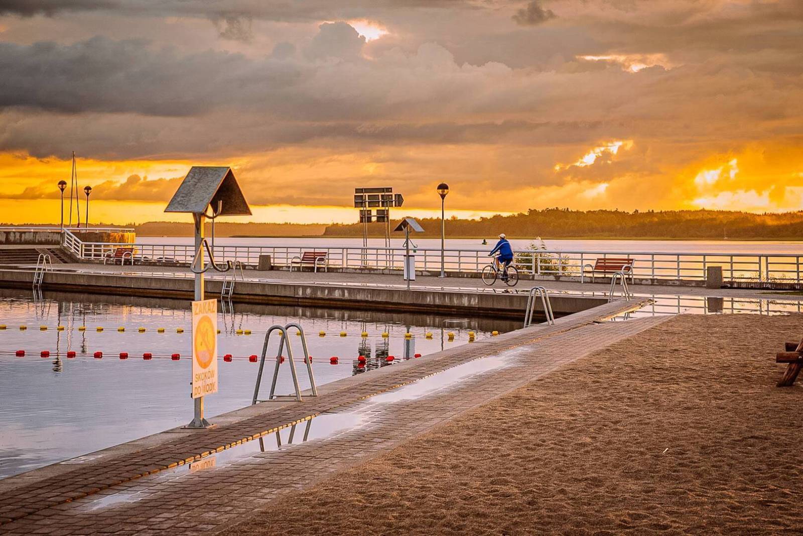
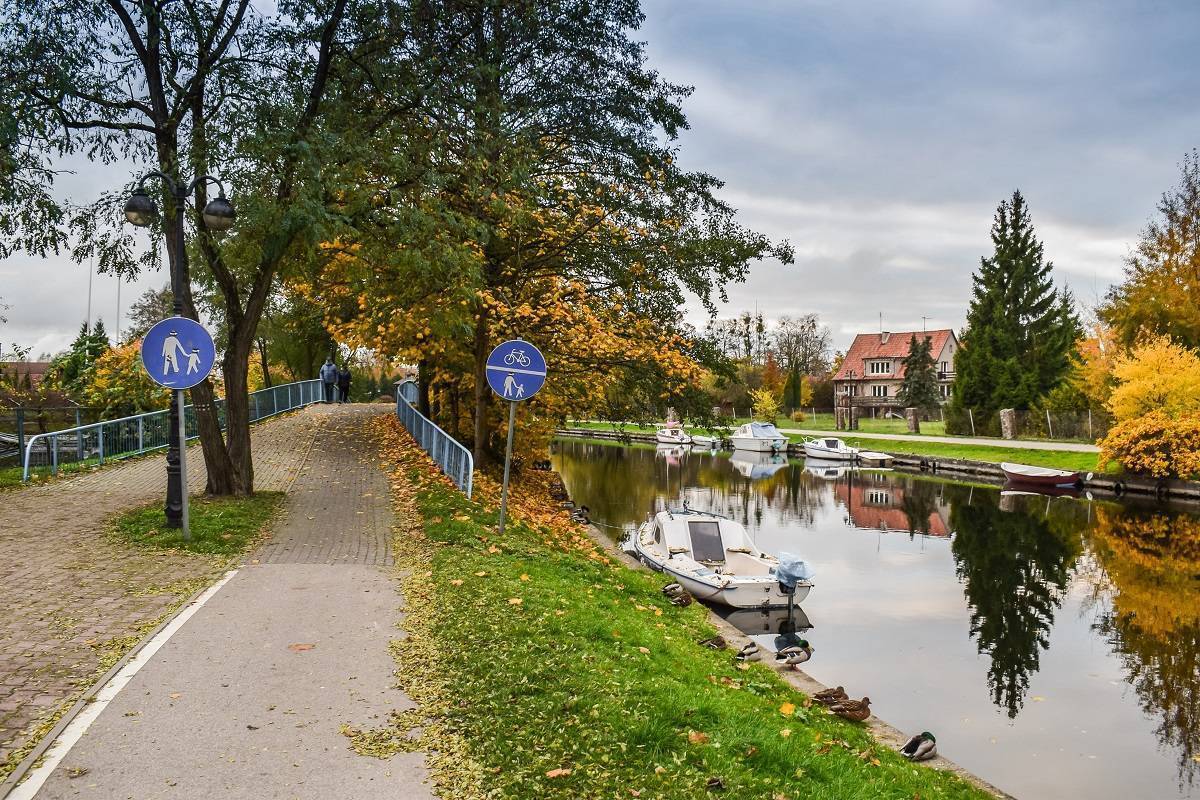
We begin the tour at the Tourist Information Office in Węgorzewo, near Ekomarina and the Museum of Folk Culture. At the start, we ride along the Węgorapa River toward the Teutonic Castle. Here, the route crosses the river and then follows it to the well-maintained Mamry municipal beach (8 Braci Ejsmontów St.). Next, we take the gravel Kopernika Street to Zbożowa Street, and then Jasna Street to the municipal beach in the village of Kal, which borders Węgorzewo. Along the way, on the left, we pass a small park and the Kalska Column, a historic monument likely dating from 1573. From the beach in Kal, we take the gravel road to the left, toward the forest. Once in the forest, we follow the signs toward the World War I cemetery. It is one of the most beautifully situated cemeteries in Masuria, offering a stunning view of Lake Święcajty.
Continuing on, we reach National Road No. 63. We cross it and, on the other side of the road, turn onto a bike path that leads us to Góra Konopki, where the Soviet soldiers’ cemetery is located. Then we turn right onto Konopki Street toward the former railroad embankment. The Green Velo trail runs along this route, featuring a very good, paved surface. Before reaching Węgorapa, you can take a break at the Cyclist Service Point (12 Armii Krajowej Street). At the Młyński Canal, turn left and ride along the Węgorapa River back to Ekomarina.
The route has a very good surface. In Węgorzewo, it is mainly asphalt, and in the countryside, it is paved gravel. Some sections run along dedicated bike paths. In terms of terrain, the route features gentle hills, with no steep descents or ascents. The surrounding area consists mainly of meadows and, to the south, forested areas. Węgorzewo does not have a permanent rail connection. During the summer season, a tourist train service to Kętrzyn is sometimes operated. The town lies on National Road No. 63, 26 km north of Giżycko, where the nearest year-round train station is located.
Węgorzewo
The town’s name, of course, refers to eels, for which the area has been famous since the Middle Ages. In the 15th century, the Teutonic Knights built an eel trap—a structure designed to catch these fish—near the castle on Węgorapa. It was a large, wooden box-like structure that was modernized over the centuries. It remained in operation even after 1945. Along with its town charter in 1571, Węgorzewo received a coat of arms. It is unique because it depicts a three-dimensional brick structure resembling the Kalska Column. This brick monument was erected before 1573. It features four distinctive plaques bearing a poem written in Polish, German, Lithuanian, and Latin. The poem tells the tragic story of two pairs of lovers from Kal: Paweł, Benedykt, Gertruda, and Róża, who, against their parents’ wishes, gave themselves over to forbidden love. It is believed that at the time the town was granted municipal rights, the column was so famous that the town itself was associated with it.
The oldest monument in Węgorzewo is the 14th-century Teutonic Knights’ castle at 7 Zamkowa St., 11-600 Węgorzewo. Construction of the original stronghold began in 1398; it had the shape of an irregular pentagon. From 1525 onward, it served as the seat of the ducal governor; in 1656, it was destroyed by the Tatars. After its reconstruction, the building became a Baroque residence. Later, it served various functions: as a court, a military hospital, and a prison. In 1734 and 1736, King Stanisław Leszczyński stayed there before going into exile in France. In 1835, the castle burned down. After its reconstruction, it lost its medieval character. Another fire broke out in January 1945, caused by the Red Army. Its historic walls survived the fire. The castle was rebuilt in the 1980s. It is currently privately owned. Be sure to visit the Węgorzewo Museum of Folk Culture at ul. Portowa 1, 11-600 Węgorzewo, tel. 87 427 52 78, www.muzeum-wegorzewo.pl. Its collection includes everyday objects, farm equipment, textiles and clothing, ceremonial accessories, and folk art. Adjacent to the museum is the Ethnographic Park on the Węgorapa River, where examples of traditional Masurian architecture are on display. In the open-air museum, you can also see goats of a unique Masurian breed.
The Teutonic Castle and the Museum of Folk Culture are located on the Loir et Cher Boulevard. It is approximately 1.5 km long and stretches from the Mill Canal along the Węgorapa River. The boulevard also houses a tourist information center and Ekomarina, with the Mazurian Shipping Company’s marina. Węgorzewo also features memorial sites related to World War I and World War II. The Jägerhöhe War Cemetery, dating from 1917, is situated on a hill—formerly known as Saxon Hill—18 meters above the surface of Lake Święcajty. It offers a magnificent view of the surrounding area. The cemetery is shaped like a horseshoe and surrounded by a wall of boulders. The semicircles of stones are known as the “circles of heroes.” In the center of the cemetery, a 15-meter-tall wooden cross catches the eye. Pine trees have been planted around the cemetery; one of them splits into five trunks. The cemetery for Red Army soldiers who fell in January 1945 is located on Konopki Hill. The monument dedicated to their memory, unveiled in 1968, is nearly 7 meters tall. The cemetery was established when the process of relocating nearby graves to a single site began. Konopki Hill (also known as Devil’s Hill) is an interesting place mentioned in several Masurian legends.
During the summer season, the Museum of Railway Traditions is open in the train station building at 4 Jaracza St., 11-600 Węgorzewo; tel. 87 427 16 07, 87 427 14 00, 662 488 696, www.facebook.com/MuzeumTradycijKolejowej. It features exhibits related to the railways of East Prussia, such as timetables, equipment, tools, and maps. In the summer, you can also relax on the supervised municipal beach at 8 Braci Ejsmontów St., 11-600 Węgorzewo, tel. 87 428 52 34, which is one of the most beautiful in Masuria. It attracts visitors not only because of its location on the second-largest lake in Poland and the Węgorapa River, but also thanks to its excellent infrastructure. The beach features beach volleyball courts, changing rooms, restrooms, and a small food court. The proximity to protected areas means that you can spot, among others, gray herons, grebes, and cranes here. In winter, iceboat races were frequently held on Lake Święcajty. Węgorzewo was famous for these races until 1945. Competitors vied here for the title of German champion, and athletes from Sweden, Estonia, Latvia, and Poland, among others, raced here; in 1936, the European Championships were even held here. Today, Węgorzewo is sometimes called the iceboat capital of Europe.