Górowo Iławeckie (0.0 km) • Dęby (5.6 km) • Jezioro Martwe Nature Reserve (13.4 km) • Zamkowa Góra (17.9 km) • Dzikowo Iławeckie (19.5 km) • Kandyty (23.2 km) • Bukowiec (27.1 km) • Worławki (30.0 km) • Górowo Iławeckie (35.0 km)
This route is designed for intermediate cyclists and runs through border areas. At the end of the trip, it’s worth visiting Górowo Iławeckie. The town has an interesting history and several notable landmarks, as well as attractive recreational areas.
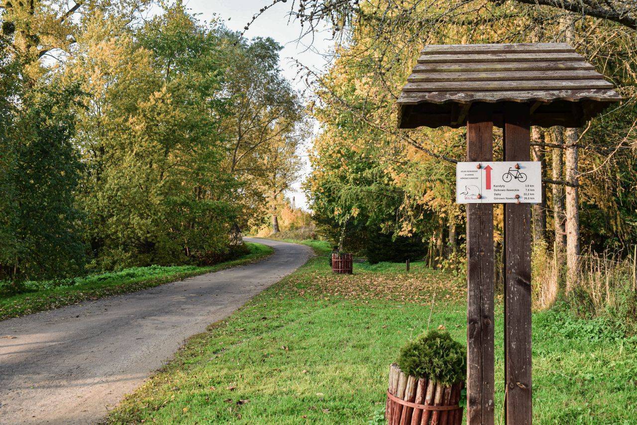
The marked starting point of the trail is located at the northern exit of Górowo Iławeckie, on Podleśna Street. First, follow the paved road toward the village of Dęby. The terrain here is mostly flat, with only slight inclines. After passing Dęby, you’ll reach an intersection. Continue straight ahead, following the sign for “State Border 7.” About 3 km from the intersection, at a fork in the gravel roads, turn left (the road to the right leads to the border). From the intersection, the asphalt surface becomes increasingly worn. Later, the road turns into a dirt road, but it is still paved on this section. We follow it for about 3 km and turn 90 degrees to the left onto a wide gravel road. We pass a wooden sign reading “Stablack” (during World War II, the Stalag IA Stablack prisoner-of-war camp operated in nearby Kamińsk). A few hundred meters beyond it lies Martwe Lake. A short, narrow path leads to it from the road. From the lake, we continue south on the gravel road. Asphalt begins to appear along the route, with remnants of cobblestones visible beneath it. We head toward Dzikowo Iławeckie, passing Góra Zamkowa on our right.
Past Dzikowo Iławeckie, at the intersection with the road leading to Lelkowo, we turn right and reach the village of Kandyty. Here, next to the church, is the MOR Green Velo. In Kandyty, we turn left toward Bukowiec. The village is home to a historic church (see p. 195), and there are tourist shelters along the road. From Bukowiec, we continue straight ahead to the intersection with Provincial Road No. 512. Here, we turn left. The final section of the route follows the main highway to Górowo Iławeckie.
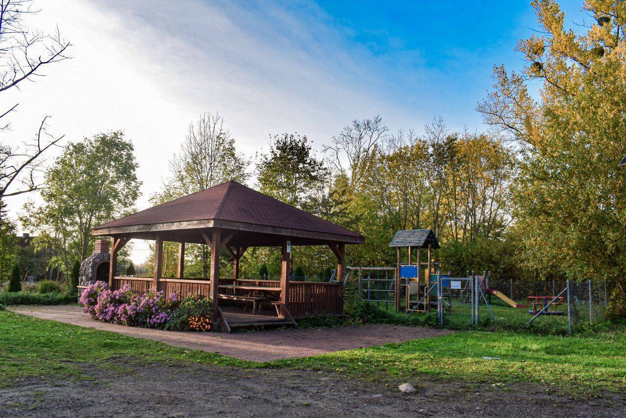
Due to the road surface, this route is best suited for intermediate cyclists. Although the trail mostly follows paved roads, the surface in the northern section is heavily damaged. For this reason, a hybrid or mountain bike is recommended for this route. There are no steep climbs along the way, and car traffic on the roads is minimal. The only place to eat is in Górowo Iławeckie. However, there are rest areas along the route: on Góra Zamkowa, in Dzikowo Iławeckie, and in Bukowiec, as well as the MOR in Kandyty. Górowo Iławeckie is located 27 km west of Bartoszyce and 26 km north of Lidzbark Warmiński, through which National Road 51 runs. It is not possible to reach the route with a bicycle via public transportation.
Warning! National Border
In its northern section, the trail runs in places just a few hundred meters from the state border. To explore this area, you must notify the Border Guard (tel. 89 76 30 320) of your planned route. You must carry identification with you at all times while in the border zone. Under no circumstances may you enter the border zone.
Martwe Lake
The decomposition of plants and other small organisms in the silted-up water has turned it into an oxygen-depleted body of water. Its water is highly acidic. When approaching the lake, exercise extreme caution, as the vegetation overgrowing its shores forms a floating carpet that may sometimes break. The lake is surrounded by a peat bog. You can reach it from the road via a path that begins at the red sign bearing the name of the nature reserve. The Martwe Lake Nature Reserve was established to protect the relict cloudberry plant.
Zamkowa Hill
This is the highest point of the Górowskie Hills (216 m above sea level). Information boards for the educational trail are placed along the road leading to it. You climb the hill via wooden stairs. Unfortunately, there is no view of the surrounding area from here, as the clearing at the summit is surrounded by trees. However, there are shelters equipped with tables where you can rest. In the past, Góra Zamkowa was a place of worship for the pagan Prussians. It is possible that a small wooden fort once stood here. In the early 19th century, the Königsberg astronomer Friedrich Wilhelm Bessel conducted stellar observations from this site, and during World War II, Heinrich Peiler’s FuSAn-733 radio direction finder was likely set up here for Luftwaffe pilots.
St. John the Baptist Church in Bukowiec
The church dates from 1820. It is a hall-type, oriented structure. The Mannerist main altar dates from the early 17th century.
Kandyty
The village was founded in the late 13th century. It was associated with the Yotvingian chieftain Skomand, who fought against the Teutonic Knights from 1273 to 1281 and then fled to Rus’. Later, however, he returned from exile and reconciled with his former enemies. He was baptized and placed himself under the protection of the Teutonic Order.
In exchange for his loyalty, he received land grants in the vicinity of Kandyt. His story thus ends differently than that of another Prussian chieftain, Herkus Montego. In the village stands a former Evangelical church dating from 1575, which was destroyed in 1945 and rebuilt from its ruins.
Górowo Iławeckie
A small town, currently home to over 4,000 residents, situated on seven hills in the historic region of Natangia. Until the 13th century, the area was inhabited by the Prussians of the Natang tribe.
Górowo was founded in 1335. Originally a market settlement, it was owned by the Teutonic Order. Later, it became a privately owned town, which was rare for towns in the former East Prussia. From 1482 to 1809, it belonged first to the Truchess-Waldburg family and later to the von Schwerin family. The medieval urban layout of the old town, featuring a Gothic town hall, a market square, and historic townhouses, is particularly noteworthy. Among the historic sites are also religious buildings of various denominations: the Neo-Gothic Church of the Sacred Heart of Jesus from 1895 and a 14th-century Greek Catholic church with an adjacent slender, brick bell tower from the 15th century. The church originally served as a Catholic church and later as a Protestant church. Inside, visitors can see a Baroque ceiling painting featuring the family coats of arms of the town’s former owners, as well as an iconostasis designed by Jerzy Nowosielski.
Near the church stands a building where Napoleon Bonaparte spent the night in 1807. Close by, at 18 Sikorskiego Street, next to the clinic, several matzevot from the former Jewish cemetery have been preserved—a remnant of the Jewish community. The local Gasworks Museum, housed in a historic coke gasworks dating from 1908, boasts a unique collection. It is an interesting destination for history and technology enthusiasts.
A notable historic building is the home of a pre-war construction entrepreneur, located at 17 Armii Krajowej Street. Behind it, the buildings of his former factory are visible. The most interesting feature of the villa is the railing on the first-floor terrace, decorated with Germanic runes. Several characters have been damaged, and some are missing, so the inscription can only be roughly deciphered as “The wise seek the truth to ultimately become free from deceptive illusions.” In Górowo Iławeckie, a member of the Cittaslow network, there are many places where you can relax after a bike ride.
To the west of the town square lies the city park, with its charming walking paths. The area around Garncarski Pond is also a great place to relax. In the southwestern part, there is a promenade, as well as two floating piers for anglers: one in the northern part of the pond and the other near Sybiraków Square, behind City Hall. In the northern part of the city lies the artificially created Municipal Reservoir, directly adjacent to the forest. It is surrounded by attractive walking areas, and a designated bonfire site has also been set up here.