Miłomłyn (0.0 km) • Faltyjanki (6.3 km) • Tarda (11.3 km) • Winiec (15.7 km) • Miłomłyn (24.3 km)
The trail begins in the center of Miłomłyn, next to the neo-Gothic Church of St. Bartholomew. After entering the trail, we cross the old riverbed of the Liwa River. On the left, you’ll pass a square with a monument to Danuta Siedzikówna, known as “Inka.” Near the square, there’s an information plaque about the remains of the Teutonic Knights’ castle in Miłomłyn.
At the fork next to the fire station, turn left onto Twarda Street. Head east. On Twarda Street, you’ll find the municipal office with a tourist information center. Further on, on the right, stands a former Evangelical chapel built in 1931–1932, now a Roman Catholic branch church dedicated to St. Elizabeth. About 300 meters further on, it’s worth turning right and, following the signpost, walking a few dozen meters down Hotelowa Street, where you’ll find an observation tower.
Continuing along Twarda Street, after the road overpass, turn right onto Jarzębinowa Street, a gravel road leading into the forest. The next section of the trail runs through the forest. After about 4 km, passing the Bagieńsko Forest District, you’ll reach Faltyjanek—a small settlement with several historic wooden cottages.
The next stage leads 6 km northward through the forest. Be sure to watch for trail markers, as they are missing in some places. We arrive at the summer resort town of Tarda, situated on Lake Bartężek. We continue our trip along a short stretch of paved road, next to which there is a rest shelter with an information board. The next summer resort town on Lake Bartężek is Winiec. Here, too, we can rest under a shelter.
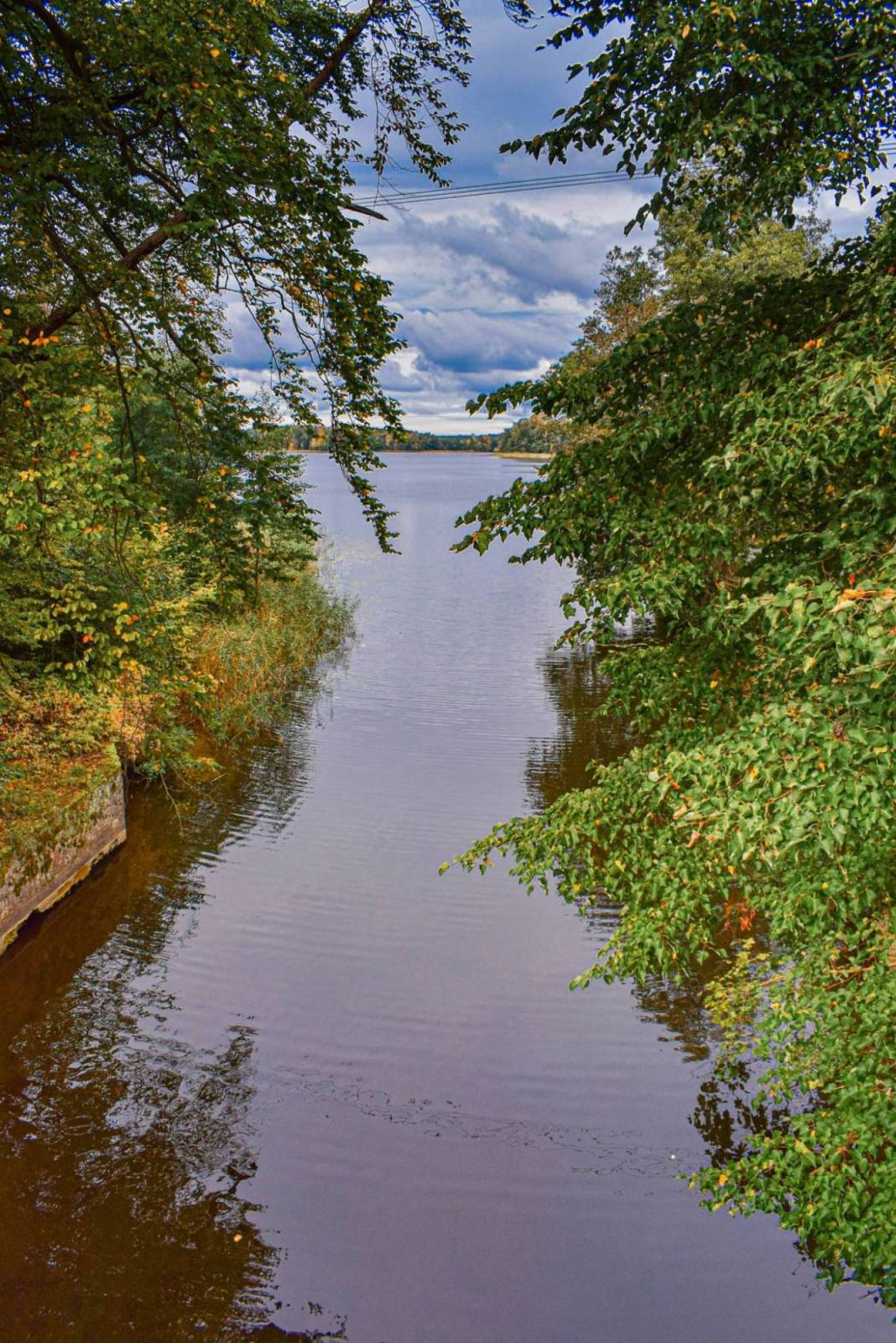
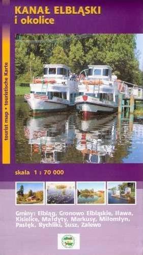
Past Winiec, we reach Lake Krebs and cross the Elbląg Canal. After the bridge, we turn left onto a gravel road. We return to Miłomłyn via the Elbląg Canal Bicycle Trail, which coincides with the red trail here.
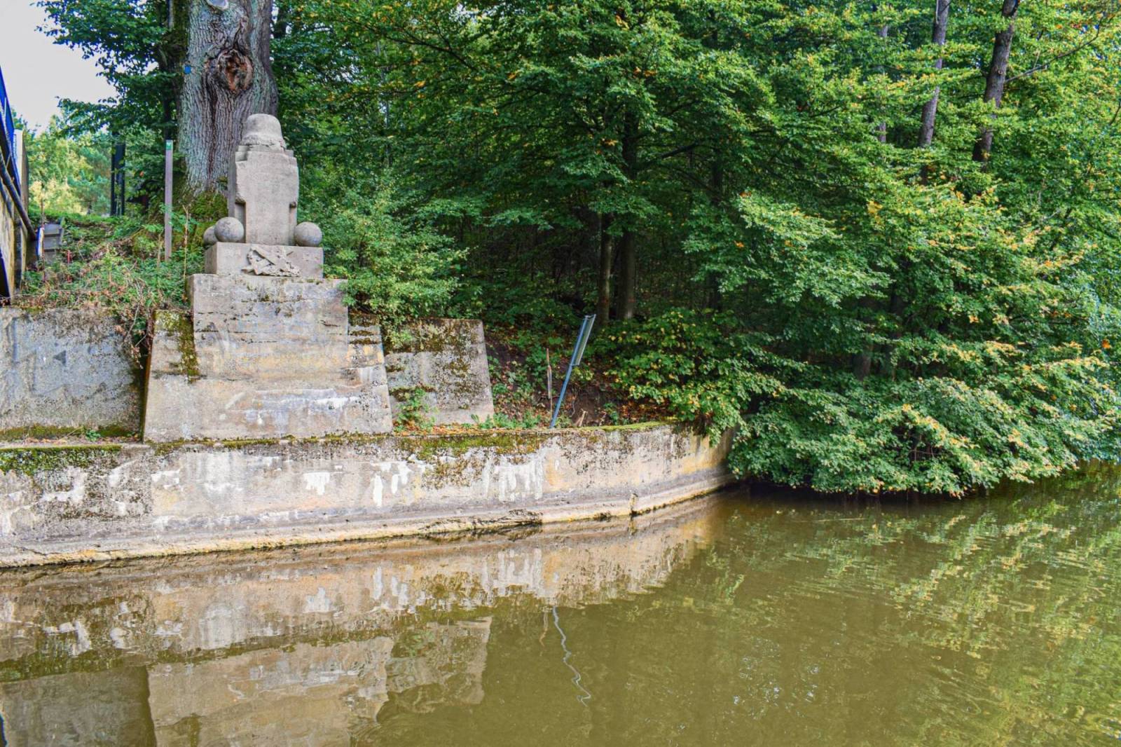
At the entrance to Miłomłyn, we can veer left off the trail and, following the signpost, ride 600 m along Tartacza Street to the chamber lock on the Elbląg Canal. A plaque dedicated to John Paul II, who kayaked on the canal in 1959 and 1973, has been erected there. An oak tree has been planted next to it.
The trail is ideal for family recreational outings. Despite some small hills, the route is easy and accessible to all hikers. It runs mostly along well-maintained dirt roads, and due to the negligible amount of car traffic, it is very safe. Miłomłyn is located along the S7 road, 13 km north of Ostróda, where the nearest train station is located.
Miłomłyn
In the early 14th century, on the site of an earlier settlement, the Teutonic Knights built a castle and a mill. Next to it, the market town of Liwemühl (Mill on the Liwa) was established. Later, its name evolved into Liebemühl. The current name is its Polish translation.
Miłomłyn was granted town privileges in 1335. It lost its town status after World War II due to extensive damage and a small population (in 1945, there were only about 400 residents). It regained this status in 1998 and currently has a population of about 2,500. The development of Miłomłyn in the 19th century was driven by the construction of the Elbląg Canal between 1844 and 1860 and the arrival of the railroad in 1893. The Ostróda–Elbląg railroad line, which opened at that time, was dismantled in 1945. The second railway line running through Miłomłyn, built in 1903, connected Ostróda and Morąg. Thanks to these investments at the turn of the 19th and 20th centuries, Miłomłyn became a hub for waterways and railways as well as a center for the timber trade.
One of the town’s main landmarks is the Neo-Gothic Church of St. Bartholomew, built between 1898 and 1901. All that remains of the older church, built in 1341, is the Gothic tower—now a bell tower—and the northern wall of the nave, which today serves as a retaining wall. Inside the church, visitors should take note of the Baroque main altar, the stained-glass windows, the organ, the pulpit from 1715, the stone baptismal font from 1720 located beneath it, and the granite holy water font from the 14th–15th centuries. Remains of the 14th-century city walls have also been preserved in Miłomłyn.
Health Resort Protection Area
In 2016, Miłomłyn, together with the villages of Bagieńsko and Tarda, was granted the status of a spa protection area. Based on research, suitable bioclimatic conditions were identified here, along with the potential to treat ailments related to respiratory diseases, rheumatic conditions, and orthopedic injuries using mud therapy. The Forest Spa Park is located on Leśna Street in Miłomłyn.
The Elbląg Canal
The Elbląg Canal has been recognized as one of the seven wonders of Poland. Its total length, including the length of its branches, is 151.7 km, and the main section between Ostróda and Elbląg is 84 km long. The difference in water levels reaches 103.4 m. To overcome this, instead of locks, five boat lifts were built on the canal, along which ships are transported on platforms mounted on rails. The lifting mechanisms are mechanically driven by the force of the water current. To this day, the inclines (Buczyniec, Kąty, Oleśnica, Jelenie, and Całuny) operate in the traditional manner. In addition, there are four locks on the canal (Miłomłyn, Zielona, Ostróda, and Mała Ruś).
The canal was built between 1844 and 1860. Its designer and chief builder was Georg Jacob Steenke. Initially, the canal played an important economic role. It was used to transport goods from Western Masuria to Elbląg, from where they reached the Baltic Sea. These were mainly agricultural products (especially grain) and timber (Taborskie pine). Shortly after the canal opened, a railway line was put into operation, causing the canal to lose its economic functions. Instead, it became a well-known tourist attraction. Currently, several boat operators offer tourist cruises along more than a dozen routes from spring through fall.
The Tabor Forests
The Tabor Forests are mixed in character, though pine dominates the species composition, clearly outnumbering other trees such as oak, beech, and hornbeam. The local ecotype—a local variety of pine—is distinguished both by the general shape of the trees and by the quality of the wood they produce. Taborskie pines are characterized by the absence of branches in the lower and middle parts of the trunk and the absence of external traces of them. As a result, the wood has no internal knots, making it a valuable and high-quality raw material, especially for the production of plywood and for shipbuilding purposes. In the past, it was used, among other things, to build masts for sailing ships. To protect the old-growth pine forest, which is 250–270 years old, the Sosny Taborskie Nature Reserve was established near the village of Tabórz, north of Ostróda.