Orneta (0.0 km) • Opin Station (7.0 km) • Łaniewo Station (23.0 km) • Lidzbark Warmiński (28.7 km)
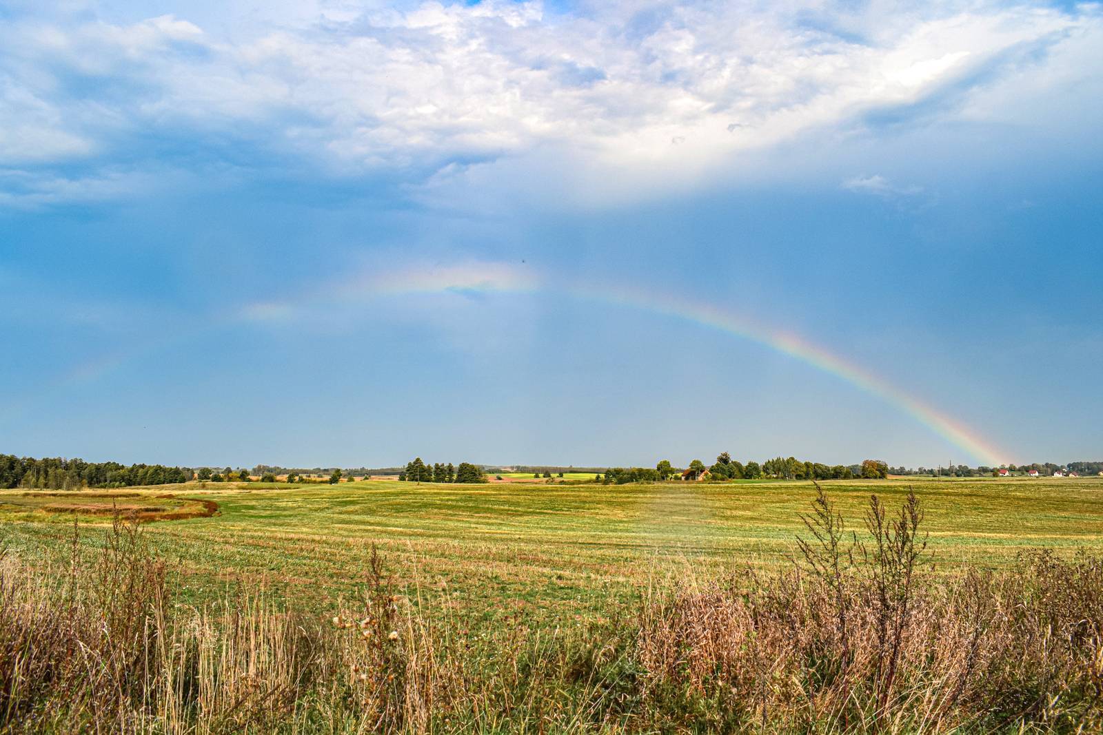
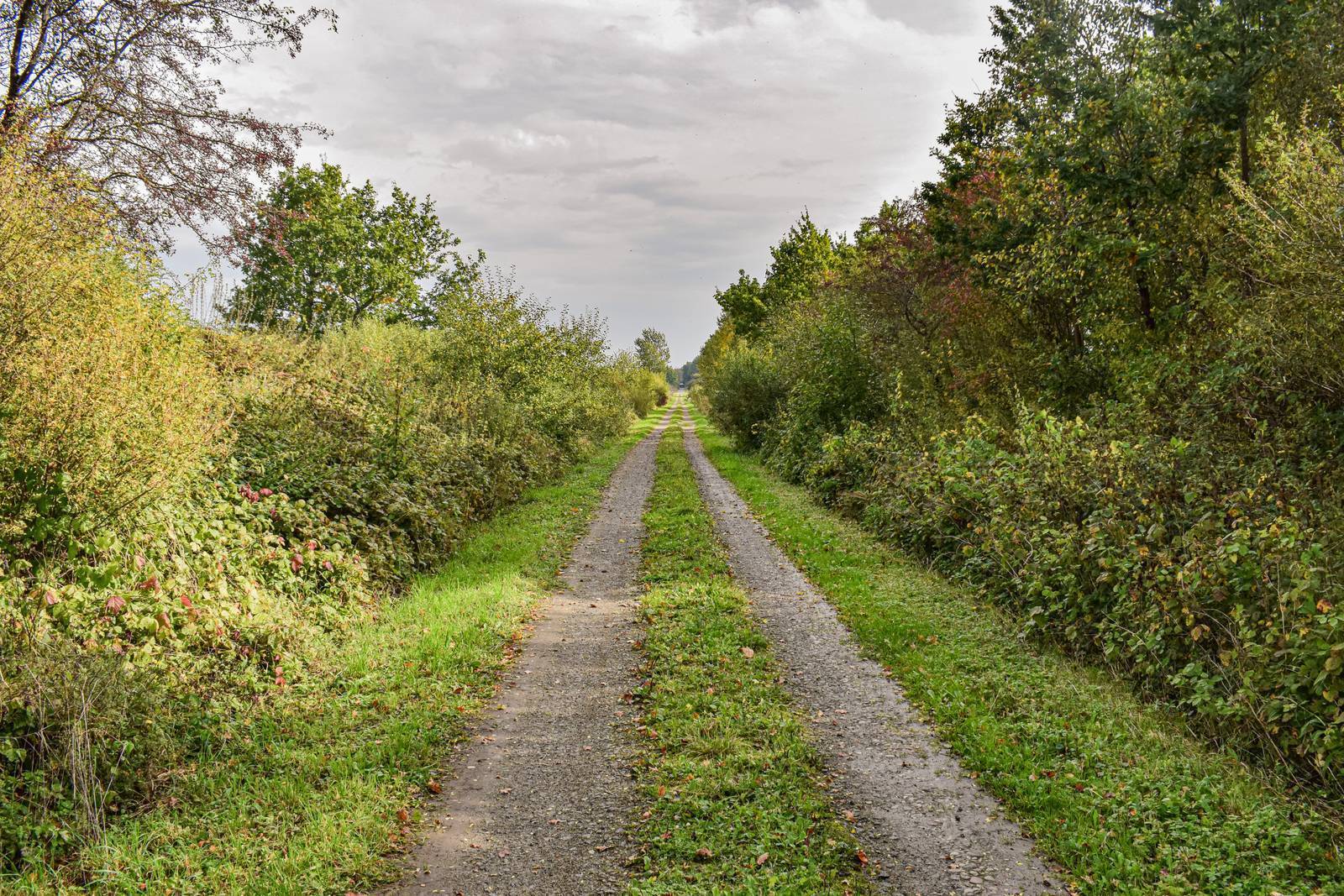
Almost the entire length of the bike trail follows a former railroad track from Orneta to Lidzbark Warmiński, a remnant of a line that operated from 1905 to 1945. The route passes through areas with varied landscapes—from open spaces to forested areas. Beautiful views and proximity to nature enhance the trail’s appeal.
The trail begins at the exit from Krośnieńska Street. To start, we cross Provincial Road No. 513 east of Orneta and, passing the town’s coat of arms located next to it, cross to the other side to continue along the railroad embankment. The route does not pass directly through the village of Opin, but you can take a detour to see the local Church of the Exaltation of the Holy Cross. To reach it, you must exit the railroad embankment before Opin. It’s best to return to the route via the same path.
You can plan your first rest stop at the so-called bike station in Opin. There is a shelter with bike racks here, picturesquely situated in the forest. After leaving the forest, you’ll see the village of Wolnica in the distance. There’s a chapel there dating from 1842—a rectangular, brick-and-plastered structure with a wooden bell tower. To see it, turn off the railroad embankment onto the first road on the left. We then return to the route via a short connecting road.
A long stretch through the forest lies ahead. Before Łaniewo, the path running along the railroad tracks is closed. At this point, a marked detour leads us to the left; we continue through the forest on a gravel road all the way to the village of Łaniewo, where the surface changes to asphalt. In Łaniewo, there is another rest shelter, where the trail joins the Łynostrada.
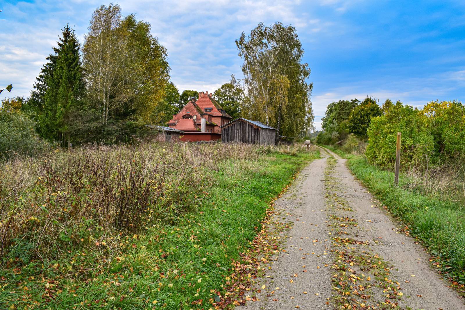
We continue along the railroad tracks again, often passing buildings scattered among fields and meadows. The trail ends at Provincial Road No. 513. From here, it’s about 2.5 km to the center of Lidzbark Warmiński. In town, you can take a break at the canoe launch on the Łyna River. To get there, turn right onto Przystaniowa Street. It’s also worth visiting the Łyna River Boulevard, where shelters for cyclists traveling along the Green Velo trail have been set up in a beautiful park.
The bike path on the former tram tracks is 2 m wide, and the surface has been paved along almost its entire length. The route is easy and pleasant, with virtually no hills or descents. The trail is marked in green. Be careful before reaching Łaniew, as the road is closed and an unmarked detour leads to Łaniew. Along the way, you can take a break at the bike stations in Opinia and Łaniew, as well as at the canoe marina on the Łyna River in Lidzbark Warmiński.
Trains on the Olsztyn–Braniewo route pass through the train station in Orneta.
Orneta
This small town on the Drwęca Warmińska River, founded in the 14th century, is one of the most beautiful towns in Warmia. From 1341 to 1350, Orneta served as the seat of the Diocese of Warmia. Today, it is part of the Cittaslow network. The local church dedicated to St. John the Baptist and St. John the Evangelist is one of the most interesting Gothic monuments in Poland. This magnificent church stands in the southwest corner of the market square (Wolności Square). The church’s furnishings are exceptionally rich and stylistically diverse. Inside, the three-tiered altar with its massive gilded statues is a sight to behold. The ceramic decoration on the church’s exterior walls—in the form of wide friezes divided into several zones (ca. 1390–1450)—is unique and unmatched anywhere else on such a scale. Another example of sacred architecture is the Orthodox Church of St. Nicholas, which was formerly a Lutheran church. Built between 1829 and 1830, based on a design likely originating from the Berlin studio of the renowned architect Karl Friedrich Schinkel, it is built in the Neoclassical style, which was rare in this region during the 19th century. The Orthodox parish in Orneta was established after the resettlement of the Ukrainian population to the town during Operation Vistula. In the center of the market square, which retains its medieval urban layout, stands a 14th-century Gothic town hall. Its Baroque turret houses the oldest bell in Warmia, dating from 1384. The town hall was built on the site of a former merchant’s house. The building currently houses the Orneta Heritage Gallery, which displays historical artifacts. Among the surviving historic buildings are townhouses with arcades dating from the 17th to the 19th centuries. A school was built at the site of the former castle of the Bishops of Warmia in the late 19th century. However, the historic Gothic cellars have been preserved. Another interesting fact is that the coat of arms of Orneta features a dragon devouring its own tail.
Opinion
The village is home to the Church of the Exaltation of the Holy Cross, dating from the 14th century and rebuilt in the 19th century, featuring styleless facades and a Baroque-Neo-Gothic interior.
Lidzbark Warmiński
Lidzbark Warmiński is a town of 16,000 residents, picturesquely situated on the Łyna and Symsarna rivers, and a member of the Cittaslow network. The riverbanks are connected by 20 small bridges, footbridges, and crossings—no wonder Lidzbark Warmiński is sometimes called the “Polish Venice.” It’s worth taking a break on the Łyna River Boulevard. Surrounded by beautiful nature, the area features bike and walking paths, a fountain, a stage, an outdoor gym, and a playground. Information boards and three statues of figures associated with Lidzbark Warmiński (Bishop Ignacy Krasicki, Nicolaus Copernicus, and Napoleon Bonaparte) encourage visitors to explore the town’s history on their own.
The Marian Shrine in Krosno
According to a medieval legend, a miraculous statue of the Virgin Mary was found in the Drwęca Warmińska River. Around 1400, the first wooden chapel was built near this site to house the revered sculpture. A new, larger half-timbered chapel was built in 1593. Between 1710 and 1714, the course of the river was altered so that a church with cloistered galleries could be built on the site of the chapel. The pilgrimage complex in Krosno (Krosno, 11-130 Orneta, tel. 55 242 28 84, 690 949 031, nmp@sanktuariumkrosno.pl, www.sanktuariumkrosno.pl) was modeled after the famous architectural complex in Święta Lipka. The complex consists of a church, cloisters with corner chapels, and a retirement home for priests. The Baroque interior of the church features seven altars, a pulpit, a choir loft, and an organ front.
“Coiled Tracks”
In 1905, the 64-kilometer-long Orneta–Lidzbark Warmiński–Sątopy–Samulewo railway line was put into service. In 1926, another line was built in the region: Orneta–Słobity. This increased the importance of the line built in 1905, as it became a vital link in the Royal Eastern Railway between the Toruń–Wystruć line and the Ełk junction. The Russians dismantled this line between February and May 1945. All that remained were the train stations, remnants of the platform edges, a few viaducts, and a clearing in the forest. In 2011, a bicycle trail was created along the former track bed, which is also sometimes called the “rolled-up tracks” route.