Pasym (0.0 km) – Rudziska Pasymskie (4.9 km) – Purda (12.1 km) – Pajtuński Młyn (16.3 km) – Purda (19.5 km) – Krzywonoga (26.9 km) – Michałki (30.4 km) – Pasym (35.2 km)
An interesting 35-kilometer loop marked in yellow, leading through the municipalities of Pasym and Purda—the borderlands of Warmia and Masuria. It’s perfect for a few-hour trip for cycling enthusiasts who appreciate picturesque landscapes dotted with architectural gems and unique tourist attractions. This route is definitely not recommended for families with young children, unless the little ones have already gained some experience and are in good physical condition.
We begin the trip in the town square of one of Masuria’s oldest towns—Pasym. From here, we head northeast along Ks. Barczewskiego Street, which merges into Kościuszki Street and leads to Dźwierzuty. After about 900 m, at the white sign marking the end of the town, we turn left onto Spacerowa Street and ride along the eastern shore of the remarkable Lake Kalwa, initially through fields and later through forests.
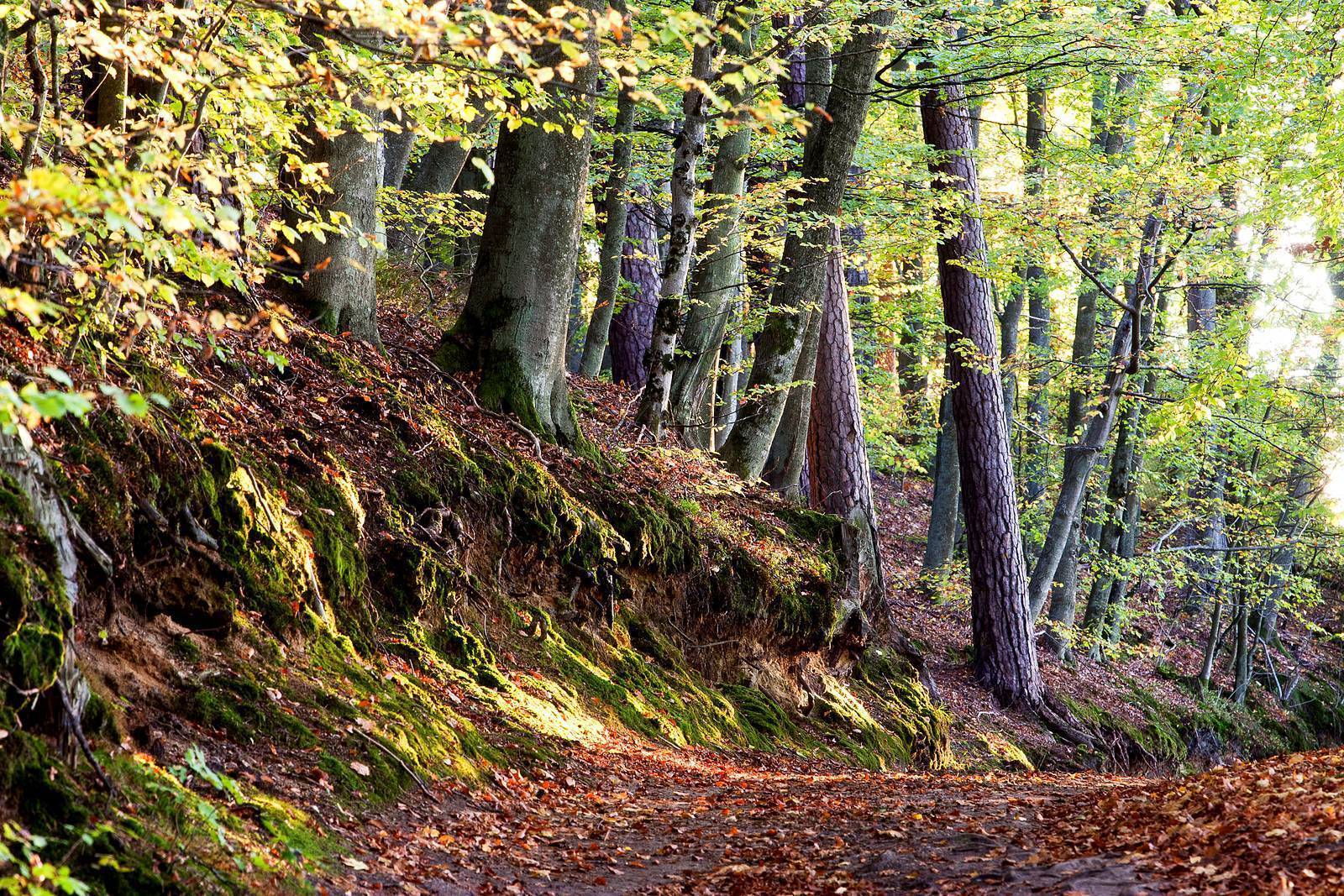
After another 5 km or so, at the fork in Rudziska Pasymskie, the paved road turns into a gravel road. Turn right, and after about 300 m, you’ll reach the ruins of the former People’s University, overgrown with forest and located on the left side of the trail. Beyond Rudziska, we ride on unpaved roads through a deciduous forest, mostly beech, occasionally tackling long climbs along a road that winds picturesquely deep into the hills. At the first two forks, we keep to the left; later, we go straight through the intersection, turn right at the next one, and left at the following one. Here, we see the large, trough-shaped Lake Serwent.
Along the way, we encounter several significant uphill and downhill sections, and on both sides of the road we see small marshes and ponds. The forests are managed for commercial purposes, so the surroundings are constantly changing; we pass old-growth stands, young stands, and clear-cut areas. On the forested section of the road, the occasional yellow trail markers are accompanied by green trail markers. After leaving the forest, we turn right onto a wider road leading to Purda. At first, we ride on a cobblestone surface, which turns into asphalt after about 1.5 km. From the village center, ride 200–300 m toward Barczewo, then turn left onto a cobblestone road toward Pajtuński Młyn. The road, with varying surfaces—cobblestone, gravel, and unpaved—first leads through fields, then through a forest; upon exiting the forest, we arrive directly at a beautiful mill. Here, the trail loop turns back toward Purda, passing through the village of Pajtuny. The surface varies just as it did earlier. The several-kilometer Purda–Pajtuński Młyn loop can just as easily be walked in the opposite direction.
Continuing along the trail, in Purda we head southwest toward Krzywonoga. From the main road, we turn right, passing a historic church on our right. The poor-quality asphalt quickly ends, giving way to a gravel road. At the fork before the forest, we turn left. An unpaved road leads through the forest with several uphill and downhill sections. To avoid getting lost, you must go straight and not turn off. When the trail reaches the railroad tracks, we arrive back on asphalt. We turn left, without crossing the tracks, toward the village of Krzywonoga. There, we stay on the main road, which turns right in the center of the village toward Michałki, located on the western shore of Lake Kalwa. The lake is visible from the road, but unfortunately, the built-up and fenced-off plots make access to it difficult.
From Michałki, we follow the paved road to Tylkowo, where we turn left onto National Road DK53 on the Olsztyn–Szczytno section. After riding about 100 m, we turn left onto Polna Street, which becomes Dworcowa Street. We follow a cobblestone bike path to the center of Pasym. When the path ends, we continue riding along the streets. At the fork in the road, from which you can already see the town’s historic sites, turn left, and after a few moments you’ll reach the town square. If you’d like, you can turn left off Polna Street a little earlier onto Ostrów Street and ride past the Pasym cemetery to reach the town’s swimming area on Lake Kalwa.
The Struggle to Preserve Polish Identity
Purda was one of the major centers of the Polish national movement in Warmia. In 1863, Father Józef Osiński, together with organist Paweł Ciecierski, provided shelter to Polish insurgents for several months. Toward the end of the so-called Kulturkampf, the Prussian authorities removed the parish priest from the village, and Germanization intensified with each passing year. In the early years of the 20th century, instruction at the local school was conducted exclusively in German, and children were beaten by the teacher for every word spoken in Polish.
Pasym is located along national highway DK53 between Olsztyn and Ostrołęka. The Pasym train station, situated on the Olsztyn–Szczytno line, is 3 km from the town center.
Pasym
Pasym, which currently has a population of about 2,500, is one of the oldest towns in Masuria. It was granted town privileges in 1386 (having lost them after World War II, it regained them in 1997). Numerous historical monuments bear witness to the town’s history spanning several centuries. Among the oldest are fragments of medieval defensive walls from the second half of the 15th century and a church—currently Evangelical-Augsburg—dating from the late 14th century. The church’s valuable furnishings include, among other things: a late Mannerist altar from 1673, polychromed and gilded in 1714; a pulpit from 1680; an organ front from 1705 from the workshop of organ builder Josue Mosengel of Königsberg; Gothic pews from the 15th century; and Mannerist pews from the 17th century. Another interesting landmark is the town hall, located in the center of the market square, modeled after the castle in Babelsberg and built in 1855 in the English Neo-Gothic style. Other distinctive historic buildings in the town include the Neo-Gothic Church of the Sacred Heart of Jesus from the late 19th century and the water tower from 1910–1911, located in the town park. The outdoor scenes for the popular TV series *Dom nad rozlewiskiem* and *Miłość nad rozlewiskiem* were filmed in the narrow streets of Pasym, along the lakeshore, and at Pajtuński Mill, located halfway along the trail. In addition, scenes for over a dozen Polish (including “Cztery noce z Anną” and “Róża”) and foreign feature films were shot in Pasym and the surrounding area.
Lake Kalwa
The lake covers an area of 562 hectares, is approximately 6 km long, and has an unusual shape consisting of two narrow channels running from south to north, connected in the north by a narrow isthmus. It is characterized by a very jagged shoreline full of bays, peninsulas, and narrow passages. The largest of the bays cuts into the land from the west. The peninsula between the channels is several kilometers long and abounds in scenic viewpoints. Due to its highly varied shoreline, it is ideal for fishing. The islands are also attractive to anglers—there are eight of them, with a total area of 6.4 ha. The connection to other small lakes makes it possible to organize kayaking trips.
Rudziska Pasymskie
During the interwar period, a large tourist complex operated in Rudziska Pasymskie on Lake Kalwa. In 1927, a beautiful guesthouse was built here. Soon after, Rudziska was connected to Pasym by a new road. Between 1946 and 1960, the complex housed the Masurian People’s University, where, on the initiative of activist Karol Małłek, the local population learned about Polish history and culture, as well as various practical subjects. A total of 310 people—from Masuria and Warmia—completed their education there. Among the graduates were also several Silesians. Later, the facility served as a vacation resort. Since it burned down in 1987, it has remained in ruins.
Ski Jump and Toboggan Run
In 1932, a ski jump and a toboggan run were built next to the guesthouse. These facilities were used, among other things, by the German national team in preparation for the Winter Olympics.
Purda
The village’s most important historic site is the Church of St. Michael the Archangel. Built in 1503 of brick and fieldstone, it features a distinctive wooden tower with walls tapering toward the top. The church’s altar dates back to the 17th century, and the 16th-century wooden pews are particularly impressive.
Pajtuński Mill
The settlement is situated in a very picturesque location on the Kośna River. Its history dates back to the Middle Ages, and the current mill building was constructed in the early 20th century. In the courtyard stands the oldest sandstone statue in Warmia, depicting Christ the Judge. It has stood there since 1791, but it is certainly much older. Today, Pajtuński Mill operates as an agritourism farm with a horse stable, offering introductory riding lessons, trail rides, and multi-day treks through Warmia and Masuria.
TheKośna River
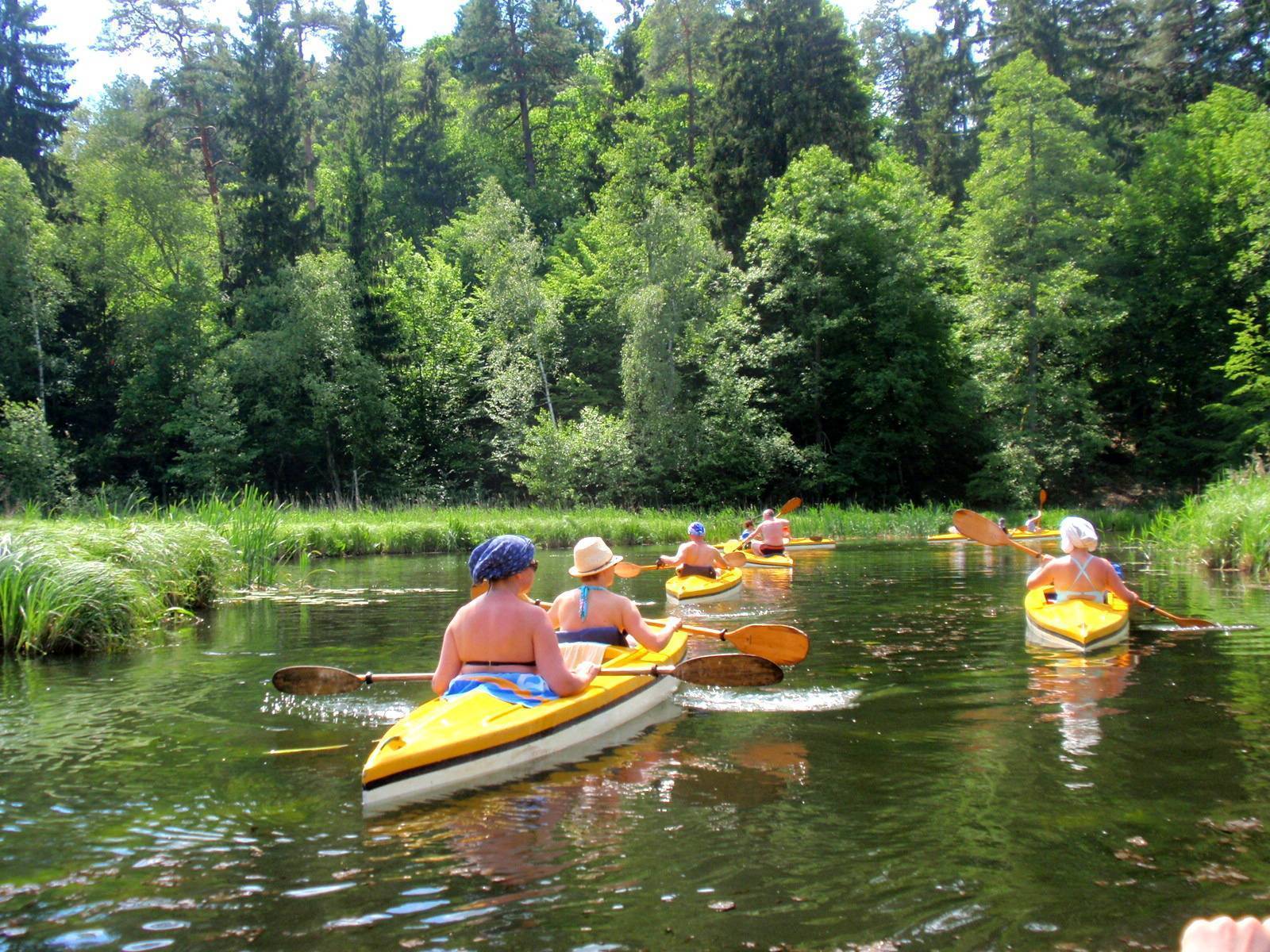
The river is approximately 13 km long, and thanks to its slow current and charming, natural landscapes, it is ideal for one-day family kayaking trips. The river flows out of Lake Kośno, which is located within the boundaries of a nature reserve and serves as a sanctuary for waterfowl and birds of prey. The river winds through forests and meadows. The Kośna ends as it merges into the Kiermas Canal, along which you can continue your trip in two directions: to Klewki (and further upstream along the Victoria Canal) or to Barczewo (about 16 km), passing through several picturesque lakes along the way. You should allow an additional one to two days to paddle from Barczewo to Olsztyn (via the Pisa Warmińska and Wadąg rivers). It’s worth noting that the lake from which the Kośna River originates lies on the historic border between Warmia and Masuria.
Archaeological Site of the Olsztyn Group
The peninsula, which juts several kilometers into Lake Kalwa and at the base of which lies Pasym, was an excellent strategic location for establishing a settlement. The oldest traces of the fortified settlement date back to the 6th–8th centuries. It has been attributed to the culture of the so-called Olsztyn Group. Material remains of the local inhabitants include pottery, animal bones, and plant seeds. One of the most valuable finds is a double-bladed folding knife, dated to the 8th–9th centuries. Similar knives from this period have been found in Frisia, the British Isles, and Norway.