
category-icon

The Mamr Small Loop

37 km
231 m
211 m
Polska, warmińsko-mazurskie, Węgorzewo, powiat węgorzewski
Zdjęcie 1

Charakterystyka trasy

2026-07-21
Polska, warmińsko-mazurskie, Węgorzewo, powiat węgorzewski
category-icon
Długość trasy:
37 km
Suma przewyższeń:
231 m
Suma spadków:
211 m
Ocena trasy:
3.6/6
Węgorzewo (0.0 km) • Trygort (4.2 km) • Przystań (8.1 km) • Masurian Canal (9.4 km) • Mamerki (10.0 km) • Kamionek Wielki (14.2 km) • Sztynort (18.6 km) • Harsz (26.5 km) • Okowizna (28.7 km) • Ogonki (31.4 km) • Kolonia Rybacka (33.4 km) • Węgorzewo (37.8 km)

The route around Lake Mamry offers many attractions. Along the way, you can see, among other things, one of Poland’s best-preserved complexes of German World War II bunkers—the Headquarters of the High Command of the Land Forces in Mamerki—as well as the palace and park complex in Sztynort.

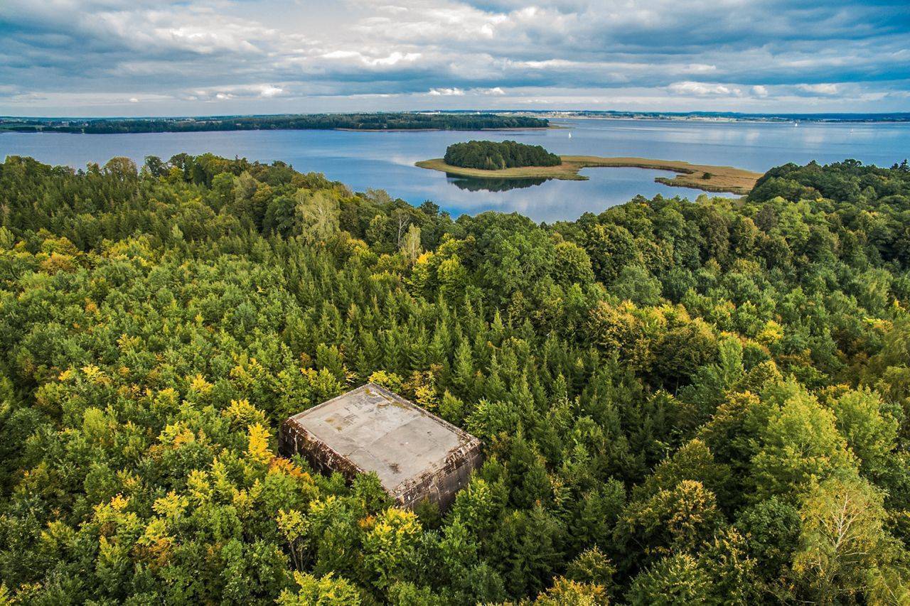
We begin the “Little Mamry Loop” tour in Węgorzewo. From there, we follow the Green Velo bike trail westward along Provincial Road No. 650 to Trygort. We pass by the Museum of Railway Tradition. Beyond Trygort, near the “Jezioro Mamry” MOR resort, you can relax on the beach, which offers a beautiful view of the lake. Next, heading south, we pass through the village of Przystań, go past the Masurian Canal, and reach the “Mauerwald” Headquarters of the Third Reich’s Land Forces in Mamerki. Beyond Mamerki, the paved road continues through Pniewo to the intersection in Kamionek Wielki. Here, we turn left and ride through Sztynort Mały to Sztynort. On a hill to the left, we’ll see the oldest oak tree in the area, growing along one of the most beautiful avenues in Masuria, which is protected as part of the Sztynort Nature Reserve. It was planted in 1681, so the tree’s age is estimated at approximately 300 years. While in Sztynort, it’s worth visiting the palace and park complex; afterward, you can relax at the marina on Lake Sztynorckie. From Sztynort, we take the road leading through the forest toward the isthmus connecting Lakes Kirsajty and Dargin, which are part of the Mamr complex. The panorama from the Sztynort Bridge spanning the isthmus is certainly one of the most frequently photographed views in Masuria. We arrive in Harsz. Here, we turn left, following the signpost for Ogonki. Lake Harsz features a developed beach with a rest area, and the lake itself is among the cleanest in Masuria. Continuing along the paved road, we pass a manor house with farm buildings in Okowizna. In Ogonki, the next town on the route, the trail joins National Road No. 63. Turning left onto it, we’ll see Lake Święcajty with its beach and pier. In front of the bunker in Ogonki, we turn onto a bike path that leads back to Węgorzewo. The bunker is visible from the road, so it’s easy to find. It’s open to visitors, but it’s in very poor condition.

There are no steep climbs along the route, and the paved surface ensures a comfortable ride. The route follows local roads with light traffic, and on sections with heavier traffic, it uses dedicated bike paths. Along the way, you can take advantage of rest areas: the “Jezioro Mamry” MOR near Trygort, the marina in Sztynort, and the beach in Ogonki.

Węgorzewo does not have a regular rail service. During the summer season, a tourist train service from Kętrzyn is sometimes operated. At that time, you can also use the stations in Trygort, Przystań, Mamerki, and Kamionek Wielki.

Railway Tradition Museum
Museum, 4 Jaracza St., 11-600 Węgorzewo, tel. 87 427 16 07, 87 427 14 00, 662 488 696,
www.facebook.com/MuzeumTradycijKolejowej, is open seasonally in the train station building. The exhibits on display are related to the railways of East Prussia, including timetables, equipment, tools, and maps.

Headquarters of the Land Forces High Command in Mamerki
The headquarters in Mamerki, tel. 698 793 104, mamerki2@wp.pl, www.mamerki.com, was built between 1940 and 1944. It was built to accommodate 40 top generals and field marshals, as well as 1,500 Wehrmacht officers and soldiers. The complex consisted of approximately 250 structures, including 30 reinforced concrete bunkers, which have survived intact to this day. The corridors and interiors of the bunkers are open to visitors. The entrances to the canals have also been preserved. Currently, the Museum of World War II operates on the complex’s grounds. Here, you can walk through a recreated U-boat interior, see a replica of the Amber Room, and, to conclude your visit, climb the 38-meter-high observation tower, which offers a magnificent view of Lake Mamry.

The Palace and Park Complex in Sztynort
From 1572 to 1945, Sztynort served as the main ancestral seat of the Lehndorff family, one of the most powerful Prussian noble families. The palace, which has survived to this day, was built between 1689 and 1691. To the north, it was surrounded by a vast park, which at the time was one of the largest of its kind in the region. It was adorned with flower beds and a variety of shrubs and trees. Regular oak-lined avenues were also laid out within the park. The park still features a Classicist garden pavilion from the turn of the 18th and 19th centuries, a Neo-Gothic chapel, and Renaissance sculptures. Centuries-old oak trees, designated as natural monuments, have also survived to this day. Until the end of the 19th century, a stud farm for Arabian horses operated at the palace. During the hostilities of 1945, the palace in Sztynort was not destroyed. Until early 1947, it housed Soviet military quarters. In the postwar period, the building served as a cafeteria for the state-owned farm (PGR), which also utilized the complex’s farm buildings. After the liquidation of the PGR, the palace complex fell into disrepair. Currently, the property belongs to the Polish-German Foundation for the Preservation of Cultural Monuments, which is carrying out restoration work.

A Visit to Sztynort
Bishop Ignacy Krasicki was a frequent guest at the Sztynort palace; he is said to have told Count Ernst Heinrich von Lehndorff: “Whoever has Sztynort possesses Masuria.” From July 1941 to November 20, 1944, Joachim von Ribbentrop—Foreign Minister of the Third Reich—resided in Sztynort.

Sztynort Nature Reserve
Within the reserve’s boundaries lie the oak-lined avenue in Sztynort, a section of alder-ash forest, and the bays of Lake Kirsajty, which serve as a nesting site for waterfowl and marsh birds and as a gathering place during their fall and spring migrations.

Komentarze

NA TYCH TRASACH PRZYDA CI SIĘ MAPOPRZEWODNIK LUB MAPA Z NASZEJ APLIKACJI
Wielkie Jeziora Mazurskie cz. PŁN
MAPA TURYSTYCZNA W APLIKACJI TRASEO
Wielkie Jeziora Mazurskie cz. PŁN

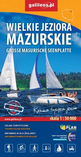
Przedstawia północną część krainy Wielkich Jezior Mazurskich. Zasięg mapy ograniczony jest miesjcowościami Węgorzewo na północy, jeziorem Gołdopiwo na wschodzie, Tałty na południu oraz Ryn i Kwiedzina na zachodzie. Mapa posiada informacje przydatne dla żeglarzy, zawiera szczegółowe informacje dotyczące przystani wraz z ich infrastrukturą, miejsca czarterów, oraz specjalne oznakowania na jeziorach a także ich batymetrię. Na mapie naniesiono również szlaki piesze, rowerowe, konne, kajakowe i ścieżki dydaktyczne, formy ochrony przyrody, bazę noclegową i gastronomiczną, najważniejsze atrakcje turystyczne.
Wielkie Jeziora Mazurskie
MAPA TURYSTYCZNA W APLIKACJI TRASEO
Wielkie Jeziora Mazurskie

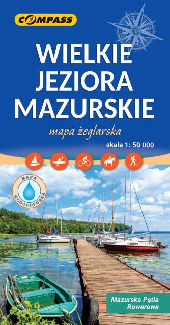
Mapa Wielkie Jeziora Mazurskie przedstawia środkową część Pojezierza Mazurskiego, obszar zamknięty przez Węgorzewo na północy, Ruciane-Nida na południu, Orzysz na wschodzie i Mikołajki na zachodzie. Na mapie znajdują się szlaki piesze, rowerowe, kajakowe i żeglarskie, batymetria jezior oraz atrakcje turystyczne. Na mapie znajdują się największe jeziora mazurskie m.in. Śniardwy, Mamry, Niegocin, Orzysz. Rok wydania 2023 Mapa żeglarska, zawiera też naniesiony szlak rowerowy Mauzrska Pętla Rowerowa. 
 

Mazury Północne
MAPA TURYSTYCZNA W APLIKACJI TRASEO
Mazury Północne

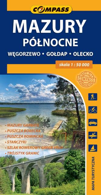
Mapa turystyczna "Mazury Północne" obejmuje przygraniczne tereny od Węgorzewa aż po trójstyk granic: Polski-Litwy-Rosji, a także fragment Mazur Garbatych sięgający poniżej Olecka. Zasięg mapy wyznaczają: granica polsko-rosyjska na północy, Węgorzewo na zachodzie, Kruklanki i Gąski na południu, Bakałarzewo na wschodzie. Obszar ten promowany jest jako Dzikie Mazury. Na mapie zaznaczono najbardziej znane atrakcje regionu: Puszczę Borecką, Puszczę Romincką z dokładną lokalizacją głazów cesarskich, Stańczyki ze słynnymi wiaduktami kolejowymi, gołdapskie uzdrowisko, piramidę w Rapie, lądowisko w Giżach oraz dziesiątki pamiątek i zabytków architektury, atrakcyjnych obiektów wodnych i przyrodniczych, punktów widokowych i jezior. Miłośnicy podróży na dwóch kółkach mogą zapoznać się z dokładnym przebiegiem prawie 100 km fragmentu najdłużej trasy rowerowej (wydzielony pas ruchu) w Polsce, tj. "Green Velo".

Warmia i Mazury – mapa atrakcji turystycznych
MAPA TURYSTYCZNA W APLIKACJI TRASEO
Warmia i Mazury – mapa atrakcji turystycznych

Mapa samochodowo-krajoznawcza, przedstawia obszar województwa warmińsko-mazurskiego. Zasięg mapy wyznaczają: granica polsko-rosyjska na północy, Elbląg na zachodzie, Ostrołęka na południu i Grajewo na wschodzie. Warmia i Mazury to region o niezwykłej różnorodności przyrodniczej, unikalnym ukształtowaniu terenu i dużym nagromadzeniem zabytków historycznych. Niniejsze wydawnictwo to ogólna mapa poglądowa rozległego obszaru, jakim są Warmia i Mazury. Dedykowana jest zwłaszcza turystom zmotoryzowanym. Przedstawiono na niej aktualną sieć dróg, wybraną bazę noclegową oraz propozycje najciekawszych atrakcji regionu. Wśród nich znajdują się: zamki, pałace, kościoły, muzea, zabytki techniki, obiekty militarne, cuda przyrody, wyróżniające się miejsca widokowe i panoramy. Mapę offline można zakupić w aplikacji Traseo na urządzenia mobilne.  Rok wydania 2022

Miejscowości na trasie