Giżycko (0.0 km) • Piękna Góra (3.9 km) • Kamionki (12.2 km) • Doba (18.1 km) • Radzieje (26.7 km) • Sztynort (33.9 km) • Harsz (42.2 km) • Okowizna (46.0 km) • Pozezdrze (52.5 km) • Przerwanki (56.5 km) • Kruklanki (62.4 km) • Kożuchy Wielkie (73.2 km) • Giżycko (79.4 km)
A picturesque route winding around the Masurian lakes, featuring numerous scenic viewpoints. The trip also offers an opportunity to delve into the region’s history, including its military history. Along the way, you can visit the palace in Sztynort, which was one of the largest structures of its kind in East Prussia.
The route begins in Giżycko, at the train station. From there, we ride along Kolejowa Street and then Nadbrzeżna Street toward the swing bridge on the Łuczański Canal. We pass the former Teutonic Knights’ castle—now the St. Bruno Hotel—then turn left and continue through the park along the bike path to Lake Niegocin. We ride past St. Bruno’s Hill and Boyen Fortress. To leave the city, we take a dirt road to the intersection of National Road No. 59 and Provincial Road No. 592. We turn onto the latter, heading toward Kętrzyn. We cross the canal connecting Lakes Kisajno and Tajty, one of the three canals surrounding the so-called Giżycko Island. The next town on the route is Piękna Góra. On the right, within the marina grounds, a small hill is visible; it is associated with the site of the ancient settlement of Ysegups, the legendary chieftain of the Galindians. At the intersection, we turn right onto a side road paved with asphalt. This section of the route follows the historic Royal Route. We pass through the village of Kamionki—at the obelisk commemorating residents who fell in World War I, we turn right. We then pass Dziewiszewo and reach the village of Doba; here, the trail leads past farm buildings, a small Gothic church, and the remains of the Schenk zu Tautenburg family mausoleum. From Doba, we take a dirt road through the fields, passing through Pilwa toward the village of Radzieje. Here, at the first buildings, we turn right onto a dirt road leading to Łabapa—a small settlement consisting of just a few houses, yet offering a magnificent view of Lakes Łabap, Dobskie, and Kisajno.
The next town on the route is Sztynort. Just before reaching it, we turn onto a paved road. Passing through an oak-lined avenue, planted around 1683, we reach the remains of the 17th-century palace and park complex of the Lehndorff family.
A little further on, we cross the Sztynorcki Bridge—a popular viewpoint offering a panorama of Lakes Kirsajty and Dargin—and then pass through the village of Harsz with its traditional Masurian brick architecture. We pass the remains of a brickyard and a school building with a gallery, heading toward Okowizna, located 2 km further on. Here, next to the “Słoneczne Wzgórze” Resort, we turn right toward Dziaduszyn and follow a forest path to reach National Road No. 63. On the other side of the road, past the parking lot, we turn right onto a forest path leading along a former railroad track to Pozezdrze. We ride straight through the village, moving away from the main road, which turns right here. Next, we reach the village of Przerwanki. Here, it’s worth taking a short detour to see the Przerwanki lock on the Sapina River; nearby are bunkers from World War I and World War II. Continuing the trip, we turn right past the wayside shrine in Przerwanki. We continue along a dirt road running along the western shore of Lake Gołdapiwo. Passing a beach and a resort along the way, we reach the summer resort village of Kruklanki, with its historic church and distinctive early 20th-century rural architecture.
From Kruklanki, we head toward Żywki. About 0.5 km past the village, we turn onto a dirt road leading to the village of Grądy. A few dozen meters before that, there is a path leading to the ruins of a railroad bridge in the Sapina River valley. There are also numerous World War II bunkers nearby. Continuing along the trail for over 2 km, we reach the road that circles Lake Kruklin. We turn right onto it, heading toward Pieczonki. Along the way, we pass a small bridge over the Sapina—a popular spot among anglers and an attractive viewpoint.
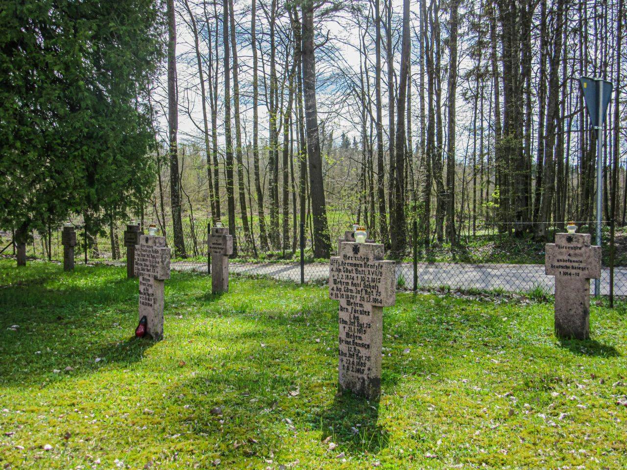
At the intersection in Nowe Sołdany, we turn left. After 200 m, we cross a dirt road and head toward Kożuchy Wielkie. We continue for 3 km along the dirt road, after which we reach a paved road. Next to a roadside cross, we turn right, and a little further on, we turn left. In Kożuchy Wielkie, turn right at the intersection marked by a roadside cross and a World War I monument in the form of a stone obelisk. The final section of the route leads back to Giżycko. In Sulimy, just before the village begins, about 100 m to the left of the road, there is a grove containing a cemetery with a soldiers’ section dating from 1914.
In Giżycko, we pass by a Greek Catholic church, a hospital dating from 1909, and a historic water tower. Inside the tower is an art gallery, and at the top is an observation deck featuring the highest-altitude café in Masuria.
The Blue Ribbon of Lakes is an ideal route for cyclists who aren’t necessarily fond of steep climbs and sharp descents. The route isn’t demanding, but it is very scenic.
Regional trains running between Olsztyn and Ełk pass through Giżycko. There are also several long-distance connections.
Kamionki During World War I
In 1914, the village served as the main mobilization center for the 3rd Reserve Infantry Division, and on August 28, 1914, it became the site of a fierce defensive battle between German troops and the advancing Russians.
Tatar Captives
In Dziewiszewo, in a meadow near the guesthouse, there is a huge granite boulder which, according to legend, is associated with the site of the execution of prisoners of war captured by the Tatars in 1657.
Gilma Island
The largest island in Lake Dobskie has a rich history. It was here that the last chieftain of the Galindians defended himself against the Teutonic Knights. The Teutonic Knights won the battle and, as a symbol of their power, built a small castle on the island. To this day, not only have its ruins—including the remnants of stone-paved stairs—survived, but also the remains of a 13th-century Prussian settlement. In the 17th century, the owner of Doba used bricks from the castle ruins to build his family seat. In 1657, his palace burned down after being set ablaze by the Tatars, who were assisting Hetman Gosiewski on a punitive expedition to Prussia. The residence was later rebuilt, however.
In the early 19th century, the island was connected to the lake’s shore by a wooden pier. The estate’s owners laid out an English-style park there and built a romantic chapel on the remains of the Old Prussian ramparts and Teutonic Knights’ ruins. The palace burned down again during World War II.
The Urn from Przerwanki
In the 18th century, on a hill in the village of Przerwanki, the wind uncovered a burial ground containing urns. One of them was made of brass. The village mayor decided to turn it into a candlestick.
The Sapina River Kayaking Trail
The Sapina River offers an attractive, 26-kilometer kayaking trail that connects Lake Kruklin with the Mamry Lakes.
The Palace in Okowizna
This early 20th-century Neo-Baroque palace (currently in ruins), surrounded by a park, belonged to the Hagen family. The massive red-brick outbuildings and stables are particularly impressive. Nearby, on the west side of the street, lies the family cemetery of the owners.
Radzieje
A former royal village with a unique octagonal church from 1827, designed by the future Prussian King Frederick William IV. Two Dutch paintings from the first half of the 17th century have survived from the church’s original furnishings: “The Arrest of Christ” and “Christ Before Pilate.” A Baroque baptismal angel also dates from this period. The wooden, freestanding bell tower from the first half of the 18th century predates the church. Of the three bells funded in 1727 by the church’s patron, Lehndorff, only one remains—the smallest one, bearing the donor’s coat of arms. Next to it is a military cemetery from World War I. Near the village, the remains of the residence of Hans Lammers, head of the Reich Chancellery, known as “Wenduli,” have been preserved.
Former Railroad Lines in Masuria
The Węgorzewo–Giżycko railroad line was built in 1905. As a result, Węgorzewo became a local railroad hub, where lines from Kętrzyn via Kruklanki to Gołdap crossed with those leading north to Königsberg and Tilsit. Toward the end of World War II, fierce fighting took place in this region. The Russians destroyed not only Węgorzewo but also the towns along the railroad lines. After the war, the area remained depopulated because it was unclear to which country it would ultimately be annexed. This made it all the easier for the Russians to dismantle the tracks and, as early as 1945, haul them away as war booty. Today, bicycle paths run along some sections of the former railroad embankments.
Pozezdrze
In the village, the neoclassical Church of St. Stanislaus Kostka from the late 19th century is worth noting. Farm buildings have also been preserved here, and a World War I monument stands near the school. In the nearby forest, you can find the remains of the headquarters of the Reich Minister of the Interior, SS and Police Commander Heinrich Himmler, codenamed “Hochwald” and popularly known as the Black Fort.