Bicycle Trail Around the Tatra Mountains map
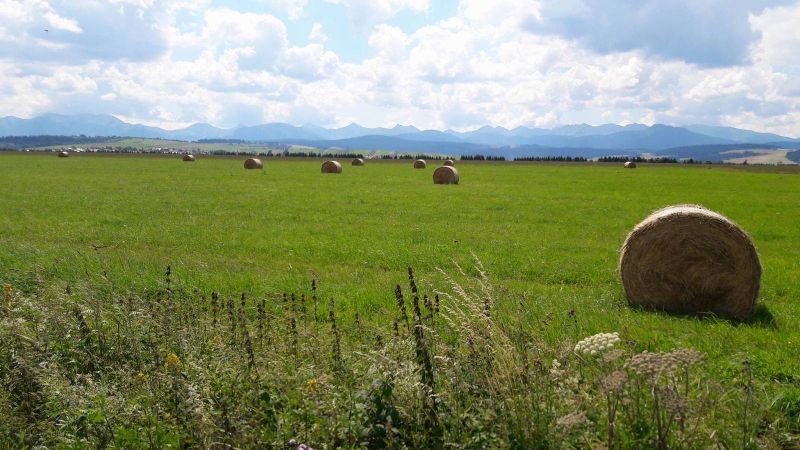
The Around Tatras Cycling Trail is one of the most beautiful cycling routes in Poland and Slovakia. Above we present a map on which the course of the trail has been marked. The route can be pinned to My Map and opened in the Traseo mobile application or downloaded as a gpx file to any device - the download is free (you need to be logged in). The loop provides an unforgettable experience for lovers of nature and active recreation. The full name of the Bike Trail Around the Tatra Mountains is the historical-cultural-natural trail, which emphasises the diversity of its touristic qualities. The cycling paths lead through four picturesque geographical regions: Podhale, Orawa, Liptov and Spisz, crossing Polish and Slovak villages. The trail on the Polish side is well signposted, with numerous rest stops along the route.
Bicycle Trail Around the Tatra Mountains - variants
The Bike Trail Around the Tatra Mountains offers three different versions, which allow cyclists to choose a route suitable for their preferences and skills. These are the official (OFCL), optional (OPTN) and gravel (GRVL) versions. The above gpx of the Bicycle Route Around the Tatra Mountains shows the GRVL version, which is the most demanding option. The GRVL version is the choice for those cyclists who prefer gravel roads and slightly more technical routes. This route follows more gravel roads, which requires more experience in riding over rough terrain. The GRVL version bypasses Dolný Kubín and runs through Zuberec. In the eastern part, it leads through the territory of the former Javorina military perimeter, joining the main route only in Niedzica. The GRVL version is suitable for experienced cyclists who are looking for a bigger challenge and want to enjoy less frequented paths. It is also an excellent choice for lovers of adventure and wilderness beauty who want to explore the more roadless regions of the Tatra Mountains.
Route around the Tatra Mountains elevation gain
The Bike Route around the Tatra Mountains can be between 210 and 320 km long, depending on the variant chosen. Thus, the total elevation on this route ranges from approximately 2,500 m
to 3,500 m. In the above variant of the GRVL route, which you can pin to My Map in Traseo or download to a GPX file, the length is 318 km and the total elevation is about 3,200 m.
The highest point of the trail is in Štrbské Pleso at 1,346 m above sea level Examples of larger climbs are to: Hucinská Pass (approx. 950 m above sea level) and the ascent in Zdziar at 1,020 m above sea level
Variants of the Cycling Route around the Tatras
We can follow the Bike Trail Around the Tatra Mountains in several different route variants, depending on our individual preferences. The main loop, known as the OFCL Around the Tatras Cycling Route (Official) https://www.traseo.pl/trasa/rowerowy-szlak-wokol-tatr-wersja-ofcl-oficjalna-oficjalny-przebieg.
OFCL Bicycle Route Around the Tatra Mountains
The loop is approximately 280 km long and runs through four Tatra regions: Podhale, Orava, Liptov and Spisz. On the Polish side, the route runs mainly on segregated, asphalt cycling paths, while in Slovakia it includes both cycle tracks and more and less busy roads.
Route Around the Tatras by Road (OPTN)
An alternative variant, labelled OPTN, leads along road roads, entirely on asphalt surfaces. It is easier to navigate, but the roads are often much busier. The route known as OPTN bypasses Dolný Kubín and heads through Zuberec, then follows the Sub-Tatra Road of Freedom (Cesta slobody) instead of the northern edge of the Low Tatras.
For those looking for a shorter section of the Bike Trail around the Tatras, there is the route Nový Targ - Trzciana (Trstena), which runs along a former railway embankment with a gentler profile and no more than 200 m of elevation gain.
Choosing the right variant of the route allows to adjust the level of difficulty and the length of the trip to the individual preferences of the cyclist. Below we present several versions of the Bike Trail Around the Tatra Mountains proposed by Traseo users:
- road variant from Krakow https://www.traseo.pl/trasa/szlak-wokol-tatr-wersja-szosa-z-krakowa
- Bicycle Route Around the Tatra Mountains without main roads: https://www.traseo.pl/trasa/rowerowo-szlak-wokol-tatr-wersja-autorska
- 100 km from Nowy Targ to the Slovak Lucky https://www.traseo.pl/trasa/szlak-wokol-tatr-nowy-targ-lucky
- The Bike Trail Around the Tatra Mountains in 10 days - https://www.traseo.pl/profil/DziadekMroz
What kind of surface on the route around the Tatra Mountains?
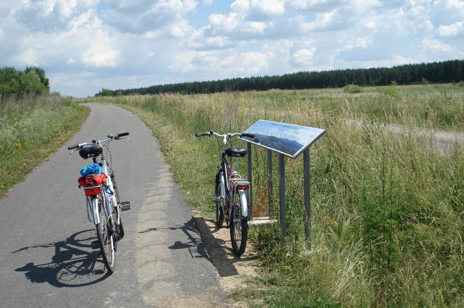
The Bike Trail around the Tatra Mountains is characterised by varied surface. On the Polish side, the trail runs mainly on asphalt cycle paths. However, some sections, such as the approximately 8 km section through Bór na Czerwonem in the Szaflary commune, have a gravel surface.
On the Slovakian side, the surface is more varied. About 1/3 of the route is made up of segregated cycle paths, another 1/3 is made up of side roads and the remainder is made up of main roads. In total, about 90% of the OFCL (Official) loop is covered with asphalt.
A variant of the OPTN route runs almost entirely on asphalt surfaces, bypassing Dolný Kubin and running through Zuberec and the Freedom Road under the Tatras.
What kind of bike for a trail around the Tatras?
In some places, especially on gravel sections, cross or mountain bikes are recommended. On the other hand, the tarmac sections are suitable for road, trekking and gravel bikes.
What are the attractions on the trail around the Tatra Mountains?
On the Polish side
1. Nowy Targ - a historic town with an atmospheric market square, a great starting point for the trail around the Tatra Mountains, as well as other hiking and cycling trails.
2. Bór na Czerwonem Nature Reserve - a peat bog with a wooden footbridge and viewing tower.
3. Czarny Dunajec - a village with traditional highland architecture.
4. Chochołów - a famous village with historic wooden highlander cottages.
On the Slovak side
1. Sucha Hora - border village, ideal point for crossing the border by bike.
2. Oravice - popular thermal swimming pools, great for relaxing after an intensive ride.
3. Podbiel - a village famous for its unique wooden buildings of the Orava type.
4. Trstena - a charming town with a market square and beautiful St Martin's Church.
5. Zuberec - the gateway to the Roháče region, ideal for lovers of mountain views.
Is the Bike Trail around the Tatras difficult?
The Bike Trail around the Tatra Mountains has a varying level of difficulty, depending on the route variant chosen. Some sections are easy and accessible to less experienced cyclists, with minimal climbs. Other sections are more demanding, with long climbs and dangerous descents, requiring good physical fitness. The gravel variants can be more difficult, but there is a choice of easier tarmac routes. The total length of the trail is about 250 km, we can assume daily distances of 55 to 75 km and a daily climbing total of 400 to 700 m.