


Charakterystyka trasy

Komentarze
NA TYCH TRASACH PRZYDA CI SIĘ MAPOPRZEWODNIK LUB MAPA Z NASZEJ APLIKACJI
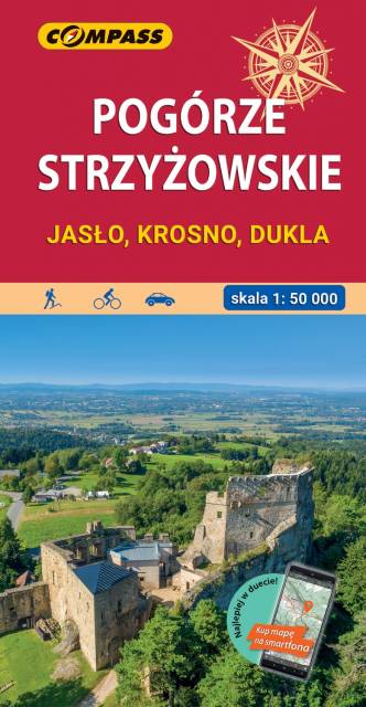
Mapa okolic Jasła i Krosna obejmuje obszar wchodzący w skład Pogórza Karpackiego. Zasięg mapy wyznaczają: Pilzno i Skołyszyn na zachodzie, Dębica i Sędziszów Małopolski na północy, Czudec i Besko na wschodzie oraz Dukla i Rymanów na południu. Rok wydania 2022
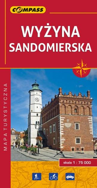
Mapa Wyżyny Sandomierskiej przedstawia ziemię sandomierską - historyczną krainę Polski położoną między Pilicą a Wisłą oraz między Sanem a Dunajcem. Zasięg mapy wyznaczają: Józefów nad Wisłą na północy, Gnojno na zachodzie, Nowa Dęba na południu i Zaleszany na wschodzie. Obszar mapy obejmuje: Ostrowiec Świętokrzyski, Opatów, Sandomierz, Staszów, Tarnobrzeg.
Głównym ośrodkiem tego regionu był i nadal jest Sandomierz - miasto położone nad rzeką Wisłą, na siedmiu wzgórzach (stąd nazywane jest czasem "małym Rzymem"), na granicy Wyżyny Sandomierskiej. Sandomierz jest ważnym ośrodkiem turystycznym, bogatym we wspaniałe zabytki z różnych okresów historycznych.
Rok wydania: 2016